
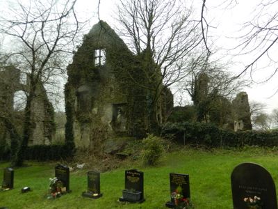
Ruins of Llantrithyd Place, Grade II listed building in Vale of Glamorgan. Located SW of the churchyard of Llantrithyd parish church, fronting the Nant Llantrithyd to the SW
Emplacement : Llancarfan
Altitude : 53 m
Coordonnées GPS : 51.44536,-3.37754
Dernière mise à jour : 4 mars 2025 à 19:13
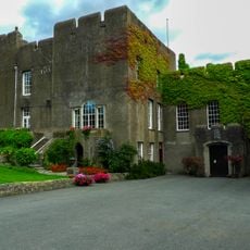
Fonmon Castle
4.7 km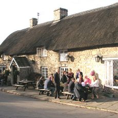
The Bush Inn
2.8 km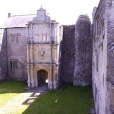
Old Beaupre Castle
3.5 km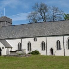
St Cadoc's Church
2.6 km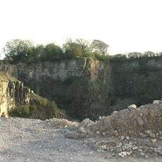
Pant-y-Ffynnon Quarry
1.4 km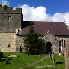
Church Of St Donat
3.9 km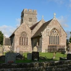
St Hilary's Church
2.8 km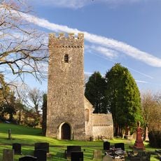
St Illtyd's Church
74 m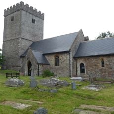
St Cadoc's Church
4.3 km
Parish Church of St Mary, St Mary Church
4.4 km
St Mary's Church
4.1 km
Gate House and bridge at Tŷ Mawr
4.1 km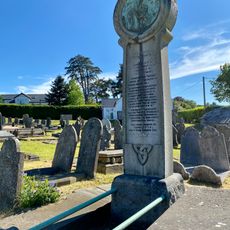
Monument to Dafydd William at Croes-y-Parc chapel
4.7 km
Llangiwa Castle
3 km
Kenson Bridge
4.1 km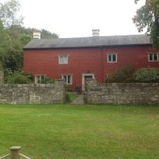
Trewallter Fawr Farmhouse
3 km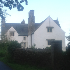
Great House (Ty Mawr), Aberthin
4.2 km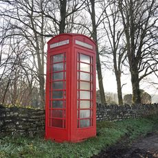
Telephone Call-Box to N of Parish Church, Llantrithyd
93 m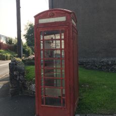
Telephone Call-Box Outside Farmers Arms
4.4 km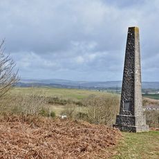
Glamorgan Yeomanry War Memorial
3 km
The Sweetings (Including attached Barn and Stable Range to W)
4.3 km
Old Beaupre Farmhouse
3.5 km
Trehill Calvinistic Methodist Chapel
4.5 km
New Beaupre
3.5 km
Eastfield
4.5 km
Ty Fry Lodge, Ty Fry
3.7 km
Howe MiIll
4 km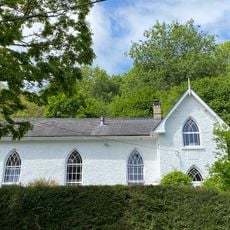
Llancarfan Wesleyan Methodist Chapel
2.5 kmAvis
Vous avez visité ce lieu ? Touchez les étoiles pour le noter et partager votre expérience ou vos photos avec la communauté ! Essayez maintenant ! Vous pouvez annuler à tout moment.
Trouvez des trésors cachés à chaque coin de rue !
Des petits cafés pittoresques aux points de vue planqués, fuyez la foule et dénichez les lieux qui vous ressemblent vraiment. Notre app vous facilite la vie : recherche vocale, filtres malins, itinéraires optimisés et bons plans partagés par des voyageurs du monde entier. Téléchargez vite pour vivre l'aventure en version mobile !

Une approche inédite de la découverte touristique❞
— Le Figaro
Tous les lieux qui valent la peine d'être explorés❞
— France Info
Une excursion sur mesure en quelques clics❞
— 20 Minutes