
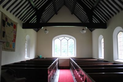
Church of the Holy Trinity, grade II listed building in Bronington. An isolated church to the SE of the village, reached by a short drive on the S side of the A495
Emplacement : Bronington
Altitude : 95 m
Coordonnées GPS : 52.94778,-2.75857
Dernière mise à jour : 5 mars 2025 à 00:17

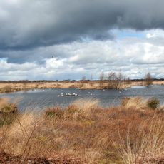
Fenn's, Whixall and Bettisfield Mosses National Nature Reserve
2.9 km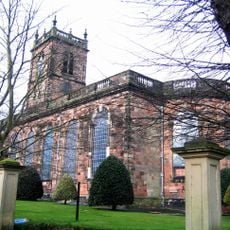
St Alkmund's Church
5.6 km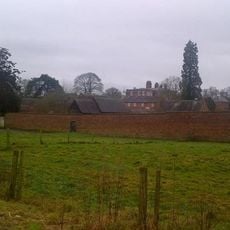
Iscoyd Park
3.1 km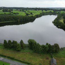
Hanmer Mere
3.8 km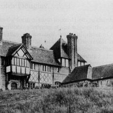
The Gelli
5.3 km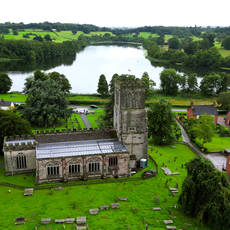
Church Of St Chad, Hanmer
3.7 km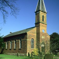
Tilstock Christ Church
5.3 km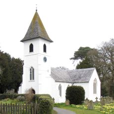
St Mary's Church
2.2 km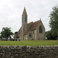
St John the Baptist's Church
4.4 km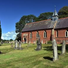
Church of St Mary
5.1 km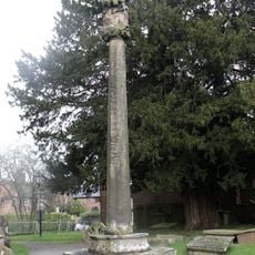
Hanmer Churchyard Cross
3.7 km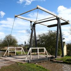
Shropshire Union Canal Morris' Bridge
3.8 km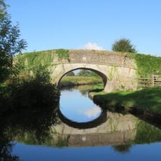
Cornhill Bridge
4.4 km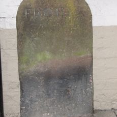
Milestone Adjoining North East Front Of Number 46 (Victoria Hotel)
5.5 km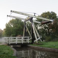
Shropshire Union Canal Allman's Bridge
4.3 km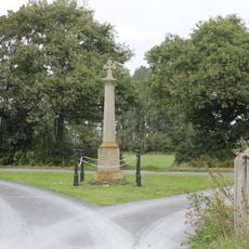
Bronington war memorial
217 m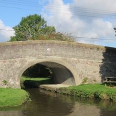
Bettisfield Bridge
4.8 km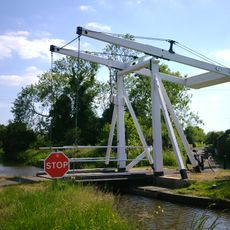
Starks Bridge
4.6 km
Milestone Adjoining Number 3 A
5.5 km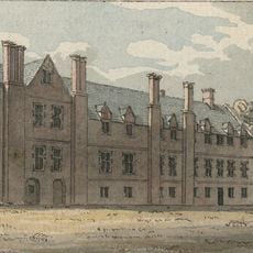
Bettisfield Hall
4.3 km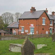
Hanmer Voluntary Primary School
3.7 km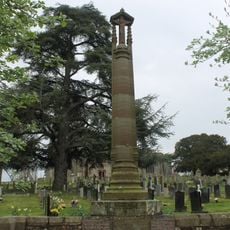
Hanmer War Memorial
3.7 km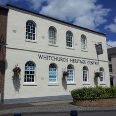
Whitchurch Heritage Centre
5.6 km
Pan Castle
3.6 km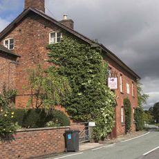
Hanmer Arms
3.6 km
Milepost, S of Hill Top Farm
5.6 km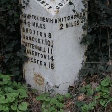
Milepost, N of B5395 jct, Grindley Brook, S of Willey Moor jct
5.2 km
Milestone, Brooklands; by Cloverfields
5 kmVous avez visité ce lieu ? Touchez les étoiles pour le noter et partager votre expérience ou vos photos avec la communauté ! Essayez maintenant ! Vous pouvez annuler à tout moment.
Trouvez des trésors cachés à chaque coin de rue !
Des petits cafés pittoresques aux points de vue planqués, fuyez la foule et dénichez les lieux qui vous ressemblent vraiment. Notre app vous facilite la vie : recherche vocale, filtres malins, itinéraires optimisés et bons plans partagés par des voyageurs du monde entier. Téléchargez vite pour vivre l'aventure en version mobile !

Une approche inédite de la découverte touristique❞
— Le Figaro
Tous les lieux qui valent la peine d'être explorés❞
— France Info
Une excursion sur mesure en quelques clics❞
— 20 Minutes