
Vicarage to St James's Church, clergy house in Haringey, Greater London, UK
Emplacement : London Borough of Haringey
Coordonnées GPS : 51.58889,-0.14478
Dernière mise à jour : 5 mars 2025 à 02:04

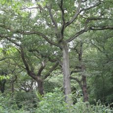
Queen's Wood
777 m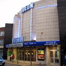
Everyman Muswell Hill
136 m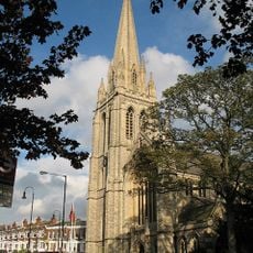
St James' Church, Muswell Hill
58 m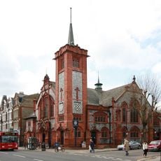
O'Neill's pub, Muswell Hill
147 m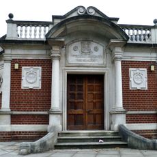
Hornsey War Memorial
1.1 km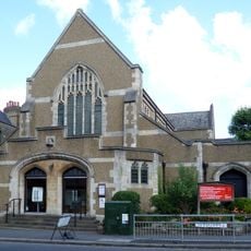
United Reformed Church
408 m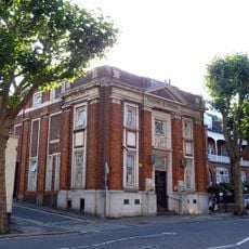
Muswell Hill Library
271 m
The Gables
445 m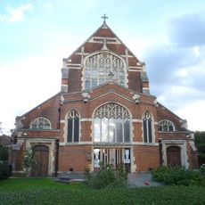
All Saints' Church
1.1 km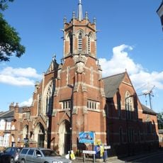
Muswell Hill Baptist Church
381 m
Birchwood Mansions
297 m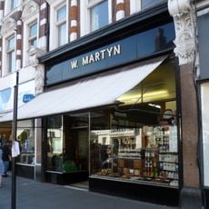
W Martyn, Grocers Shop On The Ground Floor
211 m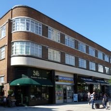
107–123 Muswell Hill Road
97 m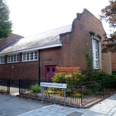
St James's Church Hall
332 m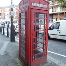
K6 Telephone Kiosk Adjacent To Cattle Drinking Trough
296 m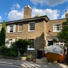
32 And 34, Wood Lane N6
1.1 km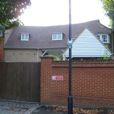
1, Firs Avenue
256 m
87 And 89, Fortis Green N2
901 m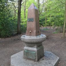
Drinking Fountain In Highgate Wood
606 m
29 And 31, Southern Road N2
953 m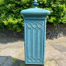
Electricity Supply Feeder
285 m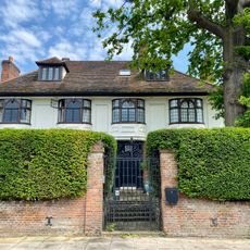
49, Lanchester Road
812 m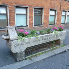
Cattle Trough
297 m
Albion Cottage Albion Lodge
901 m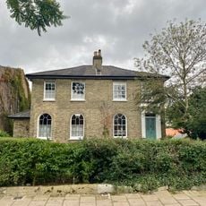
3 And 5, Southern Road N2
803 m
The Laurels
918 m
Administration Block At St Luke's Hospital
314 m
95 And 97, Fortis Green N2
850 mVous avez visité ce lieu ? Touchez les étoiles pour le noter et partager votre expérience ou vos photos avec la communauté ! Essayez maintenant ! Vous pouvez annuler à tout moment.
Trouvez des trésors cachés à chaque coin de rue !
Des petits cafés pittoresques aux points de vue planqués, fuyez la foule et dénichez les lieux qui vous ressemblent vraiment. Notre app vous facilite la vie : recherche vocale, filtres malins, itinéraires optimisés et bons plans partagés par des voyageurs du monde entier. Téléchargez vite pour vivre l'aventure en version mobile !

Une approche inédite de la découverte touristique❞
— Le Figaro
Tous les lieux qui valent la peine d'être explorés❞
— France Info
Une excursion sur mesure en quelques clics❞
— 20 Minutes