
Gate And Railings To Former Churchyard Of Church Of St Botolph
Gate And Railings To Former Churchyard Of Church Of St Botolph, City of London, Greater London, EC1A
Emplacement : City of London
Coordonnées GPS : 51.51688,-0.09701
Dernière mise à jour : 5 mars 2025 à 21:24

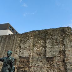
Mur de Londres
69 m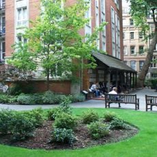
Postman's Park
45 m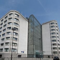
BT Centre
153 m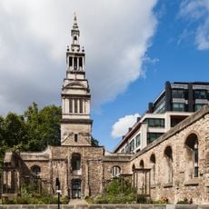
Christ Church Greyfriars
190 m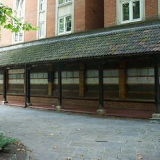
Memorial to Heroic Self Sacrifice
60 m
General Post Office, London
148 m
Goldsmiths' Hall
155 m
Greyfriars
195 m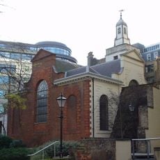
St Anne and St Agnes
70 m
200 Aldersgate
119 m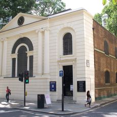
St Botolph's Aldersgate
23 m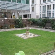
St John Zachary
133 m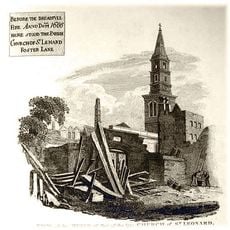
St Leonard, Foster Lane
189 m
St Nicholas Shambles
169 m
King Edward Building (Post Office)
145 m
St Mary Staining
141 m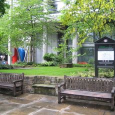
St Olave Silver Street
127 m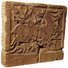
English Runic Inscription 2
81 m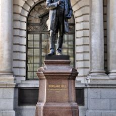
Statue of Rowland Hill
137 m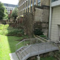
London Wall: section of Roman and medieval wall and bastion at Noble Street
84 m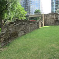
London Wall: the west gate of Cripplegate fort and a section of Roman wall in London Wall underground car park, adjacent to Nobl
130 m
Aldersgate Flame
99 m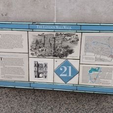
London Wall: section of Roman wall and Roman, medieval and post-medieval gateway at Aldersgate
25 m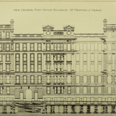
General Post Office North
55 m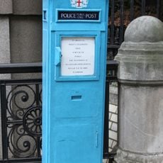
Police Call Box At North East Angle Of Number 1
9 m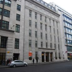
St Martins House
153 m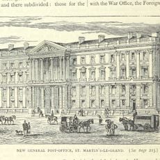
General Post Office New Building
148 m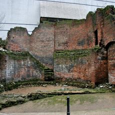
Bastion 14, London Wall
160 mAvis
Vous avez visité ce lieu ? Touchez les étoiles pour le noter et partager votre expérience ou vos photos avec la communauté ! Essayez maintenant ! Vous pouvez annuler à tout moment.
Trouvez des trésors cachés à chaque coin de rue !
Des petits cafés pittoresques aux points de vue planqués, fuyez la foule et dénichez les lieux qui vous ressemblent vraiment. Notre app vous facilite la vie : recherche vocale, filtres malins, itinéraires optimisés et bons plans partagés par des voyageurs du monde entier. Téléchargez vite pour vivre l'aventure en version mobile !

Une approche inédite de la découverte touristique❞
— Le Figaro
Tous les lieux qui valent la peine d'être explorés❞
— France Info
Une excursion sur mesure en quelques clics❞
— 20 Minutes