
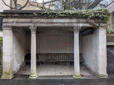
Shelter, Grade II listed building in Stockport, Greater Manchester, UK
Emplacement : Stockport
Coordonnées GPS : 53.40474,-2.15926
Dernière mise à jour : 3 mars 2025 à 12:25

Strawberry Studios
417 m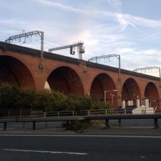
Stockport Viaduct
657 m
Hat Works
468 m
Stockport Town Hall
126 m
St Thomas' Church, Stockport
310 m
Garrick Theatre
407 m
Our Lady and the Apostles Church, Stockport
261 m
St Peter's Church, Stockport
520 m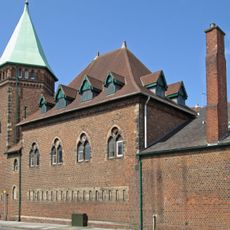
Stockport Armoury
240 m
Millennium House
111 m
Stockport Central Library
401 m
16A and 18, Middle Hillgate
393 m
Statue of Richard Cobden
492 m
Wellington Bridge
537 m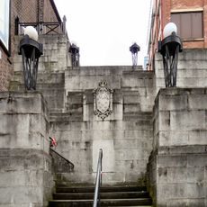
Steps adjacent to former Plaza Cinema
507 m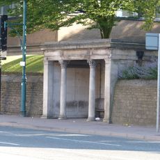
Shelter (east of Stockport Art Galley)
45 m
Wellington Mill
466 m
27, Higher Hillgate
401 m
23, Higher Hillgate
381 m
Star and Garter public house
452 m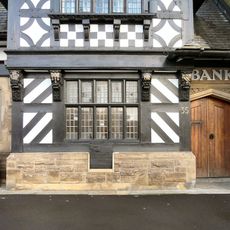
Former District Bank
285 m
St Peters Chambers
528 m
War Memorial Art Gallery
23 m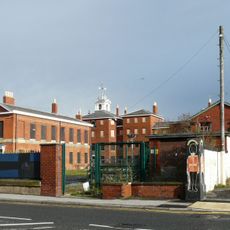
St Thomas Hospital (original building with the rear wing in the courtyard)
337 m
Stockport College of Further and Higher Education Annexe
64 m
4 Corinthian Capitals
71 m
Guidepost
92 m
41 and 43, Greek Street
231 mVous avez visité ce lieu ? Touchez les étoiles pour le noter et partager votre expérience ou vos photos avec la communauté ! Essayez maintenant ! Vous pouvez annuler à tout moment.
Trouvez des trésors cachés à chaque coin de rue !
Des petits cafés pittoresques aux points de vue planqués, fuyez la foule et dénichez les lieux qui vous ressemblent vraiment. Notre app vous facilite la vie : recherche vocale, filtres malins, itinéraires optimisés et bons plans partagés par des voyageurs du monde entier. Téléchargez vite pour vivre l'aventure en version mobile !

Une approche inédite de la découverte touristique❞
— Le Figaro
Tous les lieux qui valent la peine d'être explorés❞
— France Info
Une excursion sur mesure en quelques clics❞
— 20 Minutes