
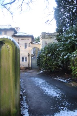
Chantry Dane, architectural structure in Knutsford, Cheshire East, Cheshire, UK
Emplacement : Knutsford
Coordonnées GPS : 53.29734,-2.36535
Dernière mise à jour : 7 mars 2025 à 17:35
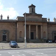
Sessions House
809 m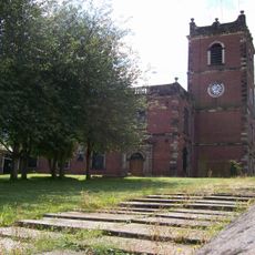
St John the Baptist's Church, Knutsford
814 m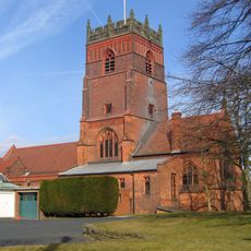
St Cross Church, Knutsford
683 m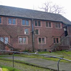
Brook Street Chapel, Knutsford
579 m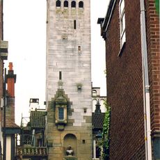
Gaskell Memorial Tower and King's Coffee House
904 m
10A, Princess Street
964 m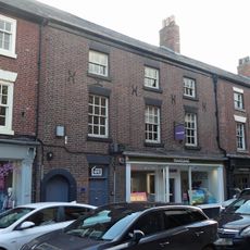
8 and 10, Princess Street
951 m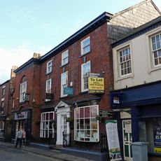
12, Princess Street
971 m
1 and 2, Church Hill
845 m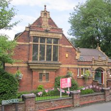
Knutsford Library
613 m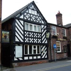
The White Lion Public House
1.1 km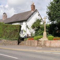
Over Knutsford War Memorial
616 m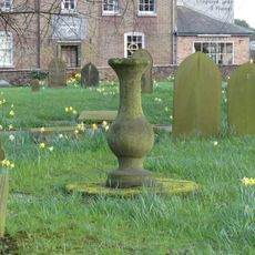
Sundial in churchyard to south west of Church of St John the Baptist
838 m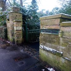
Boundary Wall And Entrance Gate Piers To The Round House
59 m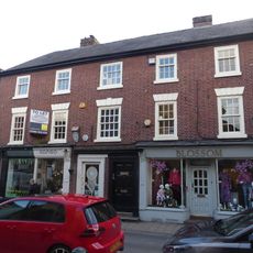
4, 4A And 6, Princess Street
933 m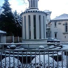
Folly In Garden To South East Of Broad Terraces
37 m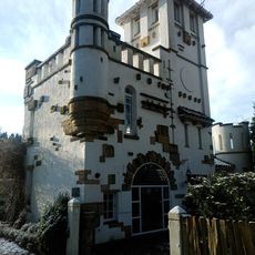
High Morland Lodge
72 m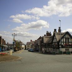
The White Bear Public House
1.1 km
Gazebo In Garden To East Of The Round House
38 m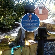
The Old Croft
286 m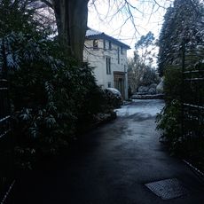
The Round House
51 m
The Lodge
36 m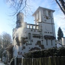
Breeze
112 m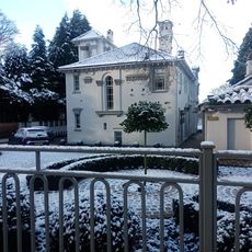
Broad Terraces
26 m
Alwarden Hill And The Gate House And Attached Screen Wall
35 m
High Morland And Harding House
93 m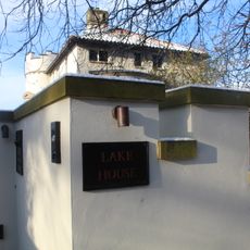
Lake House
144 m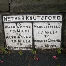
Milepost, Toft Road
837 mVous avez visité ce lieu ? Touchez les étoiles pour le noter et partager votre expérience ou vos photos avec la communauté ! Essayez maintenant ! Vous pouvez annuler à tout moment.
Trouvez des trésors cachés à chaque coin de rue !
Des petits cafés pittoresques aux points de vue planqués, fuyez la foule et dénichez les lieux qui vous ressemblent vraiment. Notre app vous facilite la vie : recherche vocale, filtres malins, itinéraires optimisés et bons plans partagés par des voyageurs du monde entier. Téléchargez vite pour vivre l'aventure en version mobile !

Une approche inédite de la découverte touristique❞
— Le Figaro
Tous les lieux qui valent la peine d'être explorés❞
— France Info
Une excursion sur mesure en quelques clics❞
— 20 Minutes