
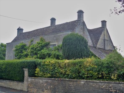
Claremont, building in Luckington, Wiltshire, UK
Emplacement : Luckington
Coordonnées GPS : 51.55337,-2.24288
Dernière mise à jour : 3 mars 2025 à 00:52
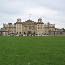
Badminton House
2.7 km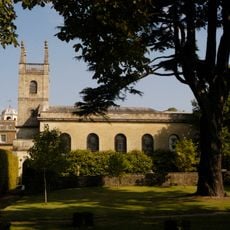
St Michael and All Angels Church, Badminton
2.8 km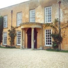
Luckington Court
473 m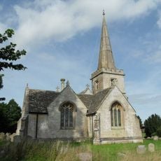
Church of St Giles
1.2 km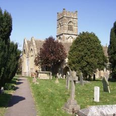
Church of Saint Mary and Saint Ethelbert
511 m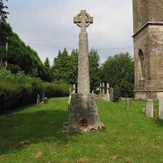
Sopworth War Memorial
2.5 km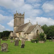
Church of St Mary
2.5 km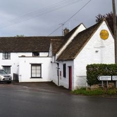
The Post Office Stores
99 m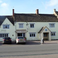
The Angel Hotel
2.8 km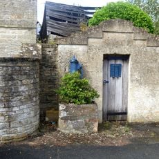
The Lock Up
113 m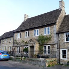
32, High Street
2.8 km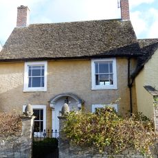
The Pines
2.8 km
Luckington Manor
81 m
6, High Street
2.9 km
Allengrove Farmhouse
850 m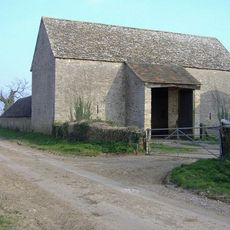
Lypiatt Barn
583 m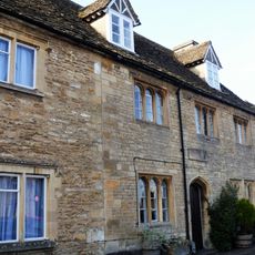
9,11, And 13, High Street
2.9 km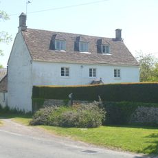
Whitehouse Farmhouse
264 m
Milestone About 120 Metres North East Of Drive To The Old Rectory
692 m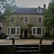
Sladbrook House
104 m
Hermit's Cell The Root House
2.1 km
Park Keepers House, And Workshop Wing To East
2.8 km
Giant's Cave: a chambered long barrow 750m south west of Allengrove Farm
1.5 km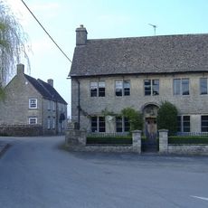
The Pump House
117 m
Badminton House Servants Wing, Adjoining And Immediately To The South West Of Badminton House
2.8 km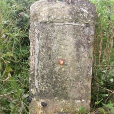
Milestone On West Side About 150 Metres North East Of County Boundary
2.4 km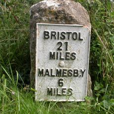
Milestone
2.2 km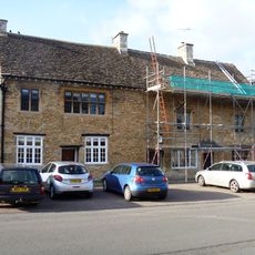
19 And 21, High Street
2.9 kmVous avez visité ce lieu ? Touchez les étoiles pour le noter et partager votre expérience ou vos photos avec la communauté ! Essayez maintenant ! Vous pouvez annuler à tout moment.
Trouvez des trésors cachés à chaque coin de rue !
Des petits cafés pittoresques aux points de vue planqués, fuyez la foule et dénichez les lieux qui vous ressemblent vraiment. Notre app vous facilite la vie : recherche vocale, filtres malins, itinéraires optimisés et bons plans partagés par des voyageurs du monde entier. Téléchargez vite pour vivre l'aventure en version mobile !

Une approche inédite de la découverte touristique❞
— Le Figaro
Tous les lieux qui valent la peine d'être explorés❞
— France Info
Une excursion sur mesure en quelques clics❞
— 20 Minutes