
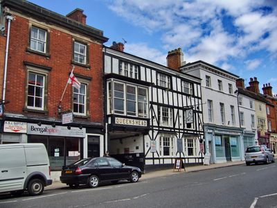
The Queen's Head Inn, inn in Ashby-de-la-Zouch, North West Leicestershire, Leicestershire, UK
Emplacement : Ashby-de-la-Zouch
Coordonnées GPS : 52.74779,-1.46960
Dernière mise à jour : 7 mars 2025 à 06:26
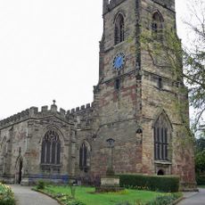
St Helen's Church, Ashby-de-la-Zouch
180 m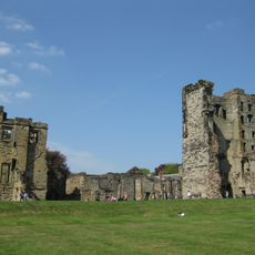
Château d'Ashby-de-la-Zouch
374 m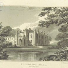
Coleorton Hall
3.2 km
Smisby lock-up
2.5 km
Bath Grounds
503 m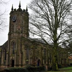
Holy Trinity Church
466 m
Town Hall
53 m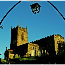
Church of St James
2.6 km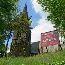
Parish Church of St Margaret of Antioch
3.1 km
Lount Meadows
3.5 km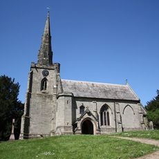
Church of St Mary, Coleorton
3.2 km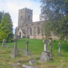
Church of the Holy Rood
2.3 km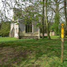
Church of St Thomas
2.8 km
The Lamb Inn
116 m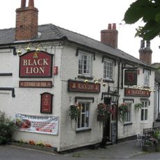
The Black Lion Public House
3.1 km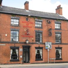
Shoulder Of Mutton Public House
290 m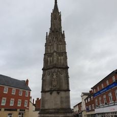
Loudoun Monument
348 m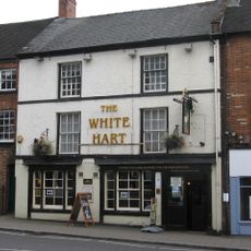
The White Hart Public House
28 m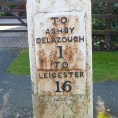
Milestone, Leicester Road, by No. 96
1.5 km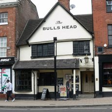
The Bulls Head
39 m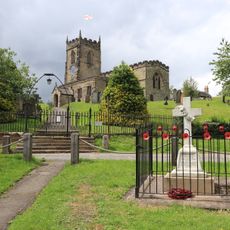
Smisby War Memorial
2.5 km
Manor House School
233 m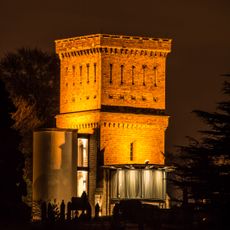
Ashby-de-la-Zouch Water Tower
676 m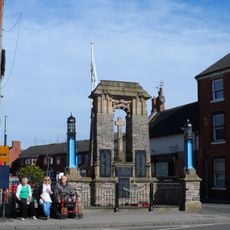
Ashby-de-la-Zouch War Memorial
184 m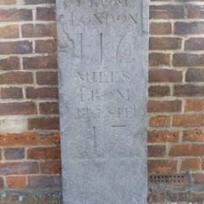
Old Milestone (Outside Number 10)
161 m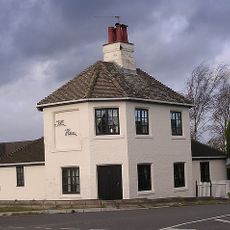
Toll House
3.2 km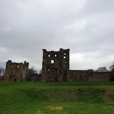
Ashby Castle and associated formal garden
273 m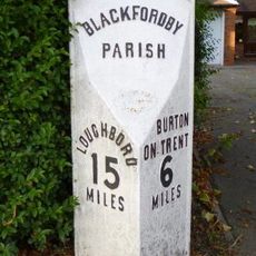
Milepost, Ashby Road; Woodville, by drive of No. 73
3.9 kmVous avez visité ce lieu ? Touchez les étoiles pour le noter et partager votre expérience ou vos photos avec la communauté ! Essayez maintenant ! Vous pouvez annuler à tout moment.
Trouvez des trésors cachés à chaque coin de rue !
Des petits cafés pittoresques aux points de vue planqués, fuyez la foule et dénichez les lieux qui vous ressemblent vraiment. Notre app vous facilite la vie : recherche vocale, filtres malins, itinéraires optimisés et bons plans partagés par des voyageurs du monde entier. Téléchargez vite pour vivre l'aventure en version mobile !

Une approche inédite de la découverte touristique❞
— Le Figaro
Tous les lieux qui valent la peine d'être explorés❞
— France Info
Une excursion sur mesure en quelques clics❞
— 20 Minutes