
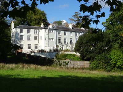
St Ann's Orchard, architectural structure in Malvern, Malvern Hills, Worcestershire, UK
Emplacement : Malvern
Coordonnées GPS : 52.12164,-2.32753
Dernière mise à jour : 3 mars 2025 à 14:48
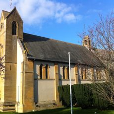
Church of the Ascension, Malvern Link
750 m
Holy Trinity Church, Malvern Link
266 m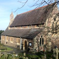
Church of St Peter, Cowleigh
867 m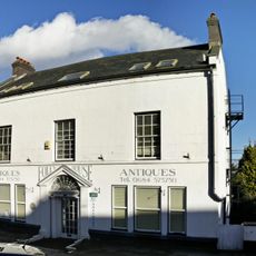
Foley House
963 m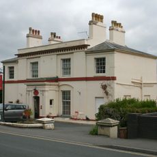
Amida Mandala Buddhist Temple
839 m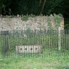
Stocks, Whipping Post And Animal Pound Opposite Holy Trinity Church
328 m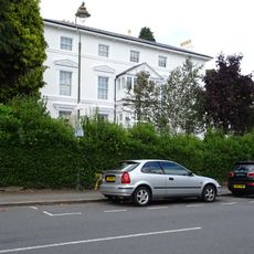
Montrose Hotel
930 m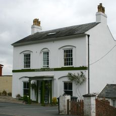
Sidney House Hotel
783 m
Malvern Library
979 m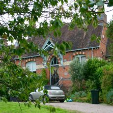
Redwood House (Formerly Malvern Rural Hospital)
336 m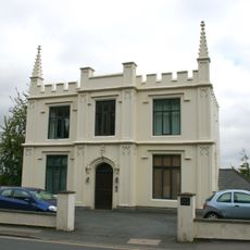
46, Worcester Road
716 m
Pillar Box In Front Of The Seaford Court Preparatory School
539 m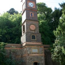
The Water Tower
689 m
Burford House
902 m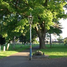
Two Gas Street Lamps In The Churchyard Of The Church Of St Matthias
1 km
North Malvern War Memorial
281 m
68, Graham Road
793 m
Malvern War Memorial
976 m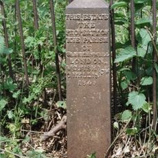
Boundary Post At So 7837 4693
714 m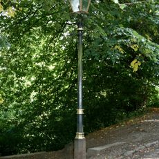
One Gas Street Lamp
556 m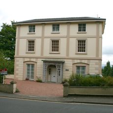
Aucott House
584 m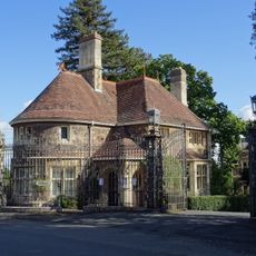
Lodge To Number 148 (Davenham)
202 m
Town Club
943 m
1 and 3, North Malvern Road
354 m
Abberley House
552 m
44, Worcester Road
749 m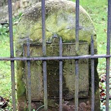
Milestone, Worcester Road, URC Churchyard, Malvern Link
882 m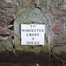
Milestone, Wells Road, by No. 52; opp Elm Bank Guest House
613 mVous avez visité ce lieu ? Touchez les étoiles pour le noter et partager votre expérience ou vos photos avec la communauté ! Essayez maintenant ! Vous pouvez annuler à tout moment.
Trouvez des trésors cachés à chaque coin de rue !
Des petits cafés pittoresques aux points de vue planqués, fuyez la foule et dénichez les lieux qui vous ressemblent vraiment. Notre app vous facilite la vie : recherche vocale, filtres malins, itinéraires optimisés et bons plans partagés par des voyageurs du monde entier. Téléchargez vite pour vivre l'aventure en version mobile !

Une approche inédite de la découverte touristique❞
— Le Figaro
Tous les lieux qui valent la peine d'être explorés❞
— France Info
Une excursion sur mesure en quelques clics❞
— 20 Minutes