
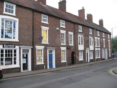
67-75, Lower High Street, building in Dudley, West Midlands, UK
Emplacement : Dudley
Coordonnées GPS : 52.45508,-2.14769
Dernière mise à jour : 19 mars 2025 à 06:19
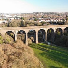
Stambermill Viaduct
962 m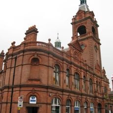
Stourbridge Town Hall
225 m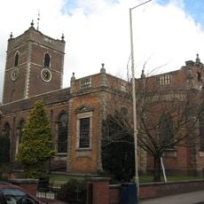
St Thomas' Church, Stourbridge
73 m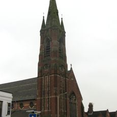
Roman Catholic Church of Our Lady and All Saints
203 m
Church of St John the Evangelist
367 m
Presbyterian Chapel
474 m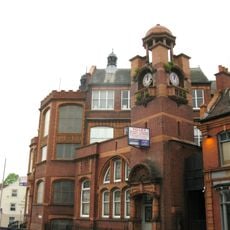
Stourbridge College Of Art
331 m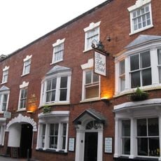
Talbot Hotel
234 m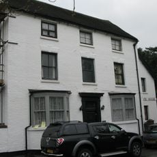
4, Church Road
1 km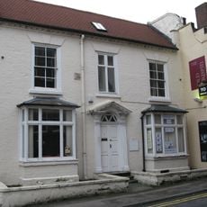
1, Church Street
324 m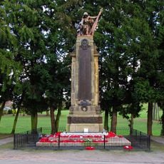
Stourbridge War Memorial
637 m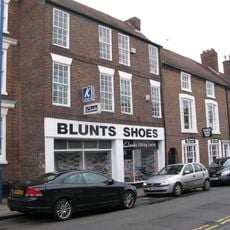
65, Lower High Street
24 m
St Thomas' Vicarage
34 m
40, New Road
75 m
7, Lower High Street
522 m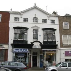
160, Lower High Street
363 m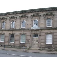
The County Court
342 m
177, Lower High Street
517 m
Stourhurst House
505 m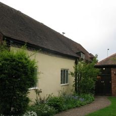
Friends' Meeting House
417 m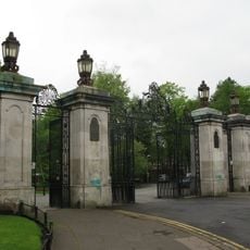
Gates, Piers And Railings At Principal Entrance
575 m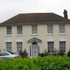
Wheelergate
610 m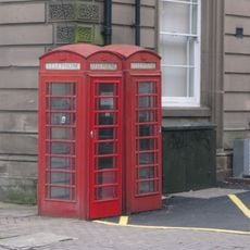
Pair Of K6 Telephone Kiosks Outside County Court Buildings
327 m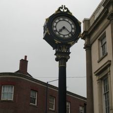
Clock Tower
268 m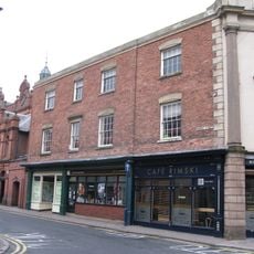
4 And 6, Market Street
259 m
The Olde Corner Shoppe
301 m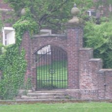
Gate Piers And Wall At Old Swinford Hospital
555 m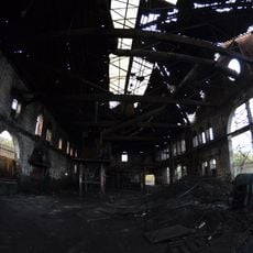
The Old Foundry
870 mAvis
Vous avez visité ce lieu ? Touchez les étoiles pour le noter et partager votre expérience ou vos photos avec la communauté ! Essayez maintenant ! Vous pouvez annuler à tout moment.
Trouvez des trésors cachés à chaque coin de rue !
Des petits cafés pittoresques aux points de vue planqués, fuyez la foule et dénichez les lieux qui vous ressemblent vraiment. Notre app vous facilite la vie : recherche vocale, filtres malins, itinéraires optimisés et bons plans partagés par des voyageurs du monde entier. Téléchargez vite pour vivre l'aventure en version mobile !

Une approche inédite de la découverte touristique❞
— Le Figaro
Tous les lieux qui valent la peine d'être explorés❞
— France Info
Une excursion sur mesure en quelques clics❞
— 20 Minutes