
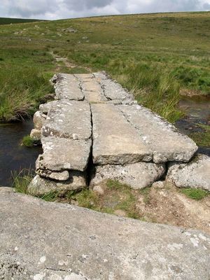
Teignhead Clapper Bridge, pont situé au Royaume-Uni
Emplacement : Dartmoor Forest
Coordonnées GPS : 50.64407,-3.92571
Dernière mise à jour : 23 mars 2025 à 22:29
Scorhill
3.3 km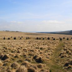
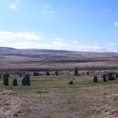
Grey Wethers
1.3 km
Cranmere Pool
3.8 km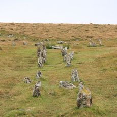
Shovel Down
2.1 km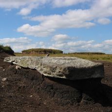
Cut Hill Stone Row
4.4 km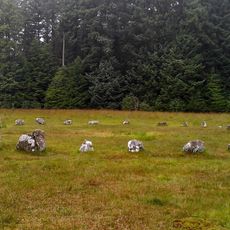
Fernworthy Circle
1.6 km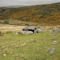
Roundy Park prehistoric enclosure and cairn with cist, 560m north east of Archerton
4.8 km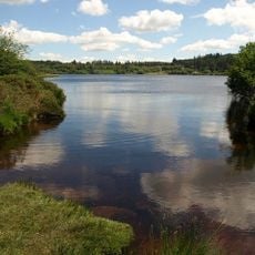
Fernworthy Reservoir
2.7 km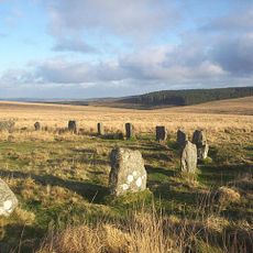
Two stone circles known as The Grey Wethers, three round cairns, two ring cairns and an oval enclosure in Great Stannon Newtake
1.5 km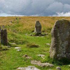
Stone alignment, cairns, enclosed prehistoric settlement and a length of reave on Hurston Ridge
3.8 km
Statts Bridge
4.8 km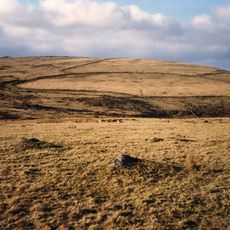
Broadun prehistoric enclosed settlement, 780m NNW of Archerton
4.6 km
Kerbed cairn and cist 635m south west of The Grey Wethers
1.9 km
Hole Farmhouse
4.9 km
Two stone hut circles and part of a coaxial field system at Frenchbeer Rock
3.4 km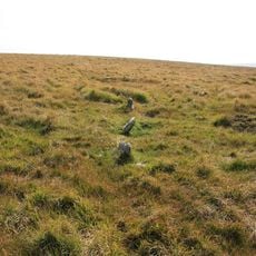
Stone circle 400m south west of Buttern Hill
4.1 km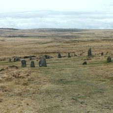
Scorhill stone circle, three cairns and a length of reave
3.2 km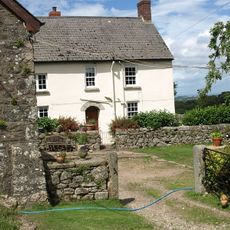
Yardworthy Farmhouse
4 km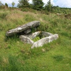
Cairn and cist on the northern side of Fernworthy Reservoir, 660m north west of Metherall
2.8 km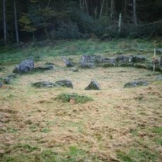
Partially enclosed stone hut circle settlement 780m south west of Metherall
2.7 km
A partly enclosed stone hut circle settlement on Kennon Hill
4.6 km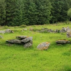
Stone alignment, hut circle settlement, medieval long house and post-medieval farmstead at Assycombe
2.7 km
Round cairn 780m south of the Thirlstone
1.9 km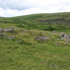
Coaxial fields and prehistoric settlements 180m north and 350m north west of Hartland Tor
4.3 km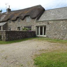
Lower Hurston Farmhouse Including Garden Walls Adjoining To South
4.7 km
The North Teign coaxial field system (western part) and associated later remains at Shovel Down, Stonetor Hill and Long Ridge
1.9 km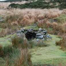
Tinners' building in Great Stannon Newtake, 810m north west of Stannon Tor
3 km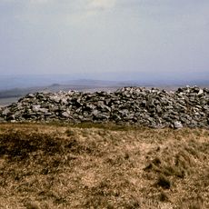
Round cairn on Watern Tor
2.6 kmAvis
Vous avez visité ce lieu ? Touchez les étoiles pour le noter et partager votre expérience ou vos photos avec la communauté ! Essayez maintenant ! Vous pouvez annuler à tout moment.
Trouvez des trésors cachés à chaque coin de rue !
Des petits cafés pittoresques aux points de vue planqués, fuyez la foule et dénichez les lieux qui vous ressemblent vraiment. Notre app vous facilite la vie : recherche vocale, filtres malins, itinéraires optimisés et bons plans partagés par des voyageurs du monde entier. Téléchargez vite pour vivre l'aventure en version mobile !

Une approche inédite de la découverte touristique❞
— Le Figaro
Tous les lieux qui valent la peine d'être explorés❞
— France Info
Une excursion sur mesure en quelques clics❞
— 20 Minutes