
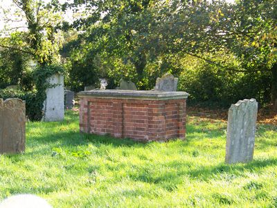
Tomb of John Harriot and his family, tomb in Stambridge, Rochford, Essex, UK
Emplacement : Stambridge
Coordonnées GPS : 51.58361,0.73280
Dernière mise à jour : 13 mars 2025 à 13:25
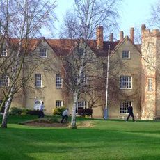
Rochford Hall
2.4 km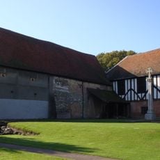
Prittlewell Priory
3.8 km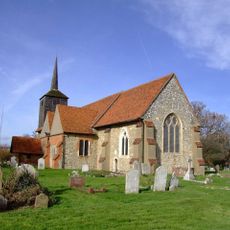
St Laurence and All Saints Church
3.8 km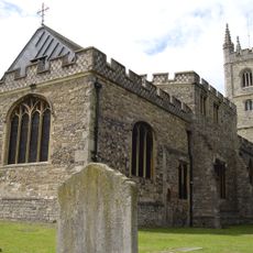
Church of St Mary
4.3 km
Southend Civic Centre
4.6 km
Garon Park
3.1 km
Corn Exchange, Rochford
1.9 km
Church of St Andrew
2.3 km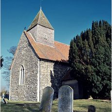
Church of All Saints
1.6 km
Church of St Mary the Virgin
3.6 km
Church of St Mary and All Saints
24 m
Church of St Andrew
4 km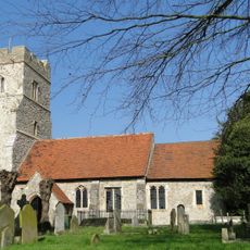
Church of St Peter
3.9 km
The Punch Bowl Inn
3.9 km
Church of St Nicholas
3.8 km
Church of All Saints
3.9 km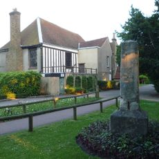
Old Crowstone
3.8 km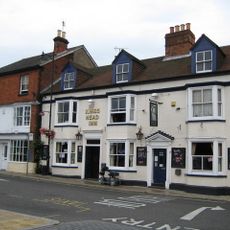
The Kings Head Hotel
1.8 km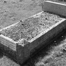
Headstone And Surrounds Approximately 16 Metres South Of South West Angle Of South Porch Of Church Of St Andrew
2.3 km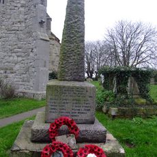
Barling Magna War Memorial
3.9 km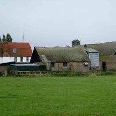
Lambourne Hall
4 km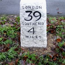
Milestone On Northern Verge Opposite House Called Birches
2.7 km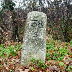
Milestone On Northern Verge Opposite Lodge Cottage, The Lawn Drive
4.2 km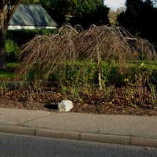
Milestone On Eastern Verge
1.9 km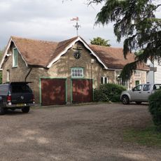
Stables, Tack Room And Carriagehouse Approximately 3 Metres North East Of Doggetts Farmhouse
1.9 km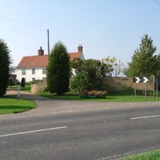
Beauchamps
2.7 km
Milestone, Hall Road, 100m N Hall Road cemetery, near the entrance to The Lawn
4.2 km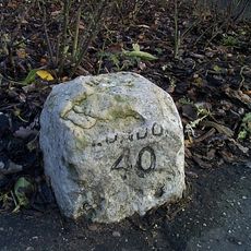
Milestone, Southend Road,
1.9 kmAvis
Vous avez visité ce lieu ? Touchez les étoiles pour le noter et partager votre expérience ou vos photos avec la communauté ! Essayez maintenant ! Vous pouvez annuler à tout moment.
Trouvez des trésors cachés à chaque coin de rue !
Des petits cafés pittoresques aux points de vue planqués, fuyez la foule et dénichez les lieux qui vous ressemblent vraiment. Notre app vous facilite la vie : recherche vocale, filtres malins, itinéraires optimisés et bons plans partagés par des voyageurs du monde entier. Téléchargez vite pour vivre l'aventure en version mobile !

Une approche inédite de la découverte touristique❞
— Le Figaro
Tous les lieux qui valent la peine d'être explorés❞
— France Info
Une excursion sur mesure en quelques clics❞
— 20 Minutes