
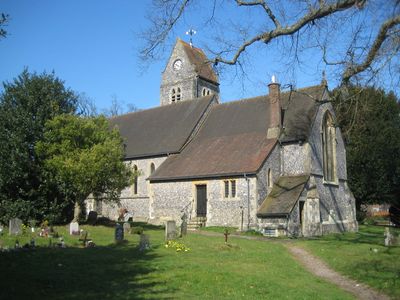
Church of the Holy Trinity, church building in Lane End, Buckinghamshire, UK
Emplacement : Lane End
Coordonnées GPS : 51.61789,-0.83718
Dernière mise à jour : 9 mars 2025 à 21:05

West Wycombe Park
3.5 km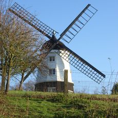
Cobstone Windmill
3.6 km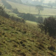
Turville Hill
3.7 km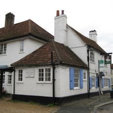
The Swan
3.8 km
Widdenton Park Wood
1.1 km
Bolter End Sand Pit
720 m
Frieth Meadows
1.3 km
Fayland Chalk Bank
3.4 km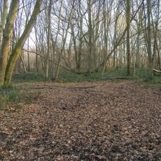
Moorend Common
1.2 km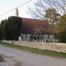
Church of St Mary Le Moor
2.4 km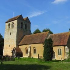
Church of St Bartholomew
3 km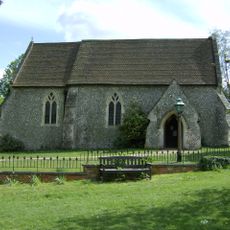
Church of St John the Evangelist
1.7 km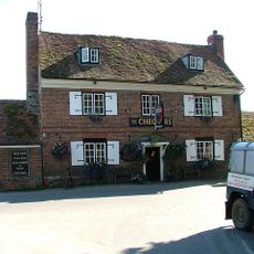
The Chequers Inn
2.9 km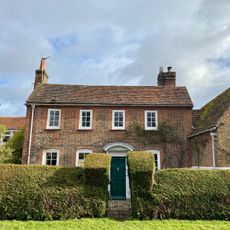
The Old Rectory
2.9 km
Island Temple, West Wycombe Park
3.8 km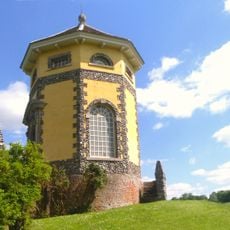
Temple Of The Four Winds West Wycombe Park
3.6 km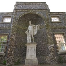
The Exedra West Wycombe Park
3.5 km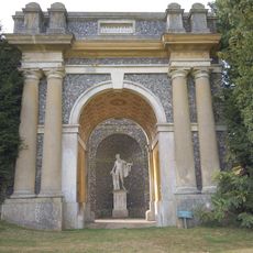
Triumphal Arch West Wycombe Park
3.5 km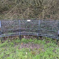
Thomas Stapleton memorial bench
285 m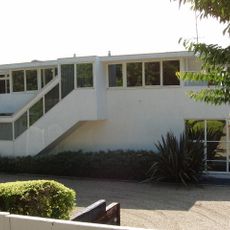
The Flat Roofed House
1.9 km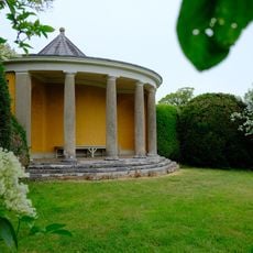
Small Temple West Wycombe Park
3.4 km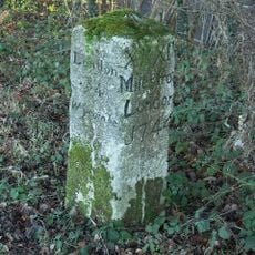
Milestone At Os Su 792949
3.6 km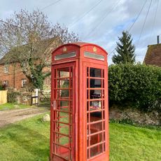
K6 Telephone Kiosk
2.9 km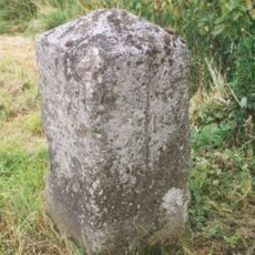
Milestone, Oxford Road; E of Myze Farm
3.2 km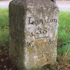
Milestone, Wycombe Road; in front of Dashwood Arms PH at Chipps Hill jct, where older road forms lay-by
2.7 km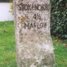
Milestone, High Street; by Lane End Village Hall
170 m
Milestone, Nuttings Wood; between Green Barn Farm and Widmere Lane
3.1 km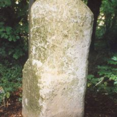
Milestone, Marlow Road; Long Shaw Wood, N of Wycombe Airport
1.6 kmVous avez visité ce lieu ? Touchez les étoiles pour le noter et partager votre expérience ou vos photos avec la communauté ! Essayez maintenant ! Vous pouvez annuler à tout moment.
Trouvez des trésors cachés à chaque coin de rue !
Des petits cafés pittoresques aux points de vue planqués, fuyez la foule et dénichez les lieux qui vous ressemblent vraiment. Notre app vous facilite la vie : recherche vocale, filtres malins, itinéraires optimisés et bons plans partagés par des voyageurs du monde entier. Téléchargez vite pour vivre l'aventure en version mobile !

Une approche inédite de la découverte touristique❞
— Le Figaro
Tous les lieux qui valent la peine d'être explorés❞
— France Info
Une excursion sur mesure en quelques clics❞
— 20 Minutes