
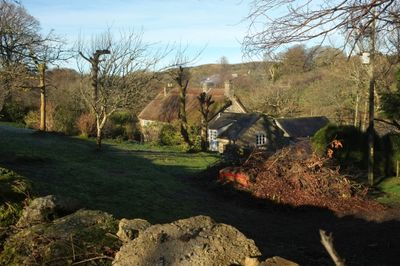
Mill Farmhouse, farmhouse in Manaton, Teignbridge, Devon, UK
Emplacement : Manaton
Coordonnées GPS : 50.61405,-3.76874
Dernière mise à jour : 8 mars 2025 à 16:15
Jay's Grave
2 km
Haytor Granite Tramway
3.9 km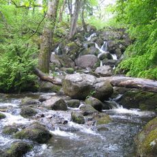
Becky Falls
1.4 km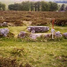
Ring cairn south west of Hound Tor, 215m east of East Lodge
2.3 km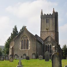
Church of St John the Baptist
3.1 km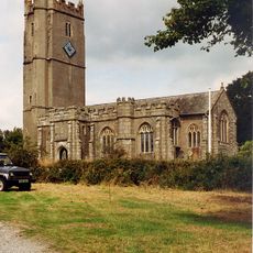
Church of St Winifrid
419 m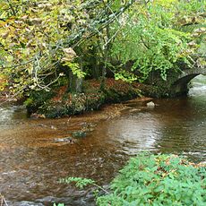
Bovey Bridge
3.1 km
Cross About 6 Metres North-West Of South Harton Farm Gate
2.7 km
Dartmoor Cottage
3.1 km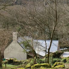
Foxworthy Mill House And Mill
1.4 km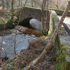
Beckaford Bridge
1.1 km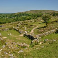
Hound Tor Deserted Medieval Village
2.1 km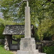
Manaton War Memorial
409 m
Pethybridge Cottage
3.1 km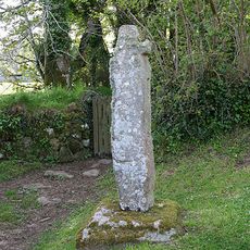
Churchyard Cross Approximately 17 Metres South West Of Church Of St. Winifrid
399 m
The Old Post Office, Ivy Cottage And Ingrik (Row Of Cottages At South-East Corner Of Green)
3.1 km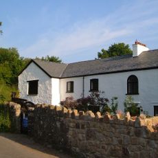
New (Corn) Mill
3.1 km
Aller Farmhouse
2.4 km
Moorlands
3.1 km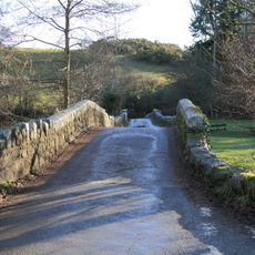
Road Bridge Over River Bovey East South East Of Fairbrook Cottage At Grid Ref 740 836
2.9 km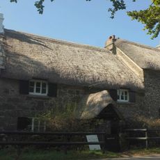
Swallerton Gate
2 km
Hunter's Tor Camp
2 km
Earthwork in Houndtor Wood
1.9 km
Half Moon House
481 m
Southcott Farmhouse
607 m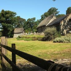
Linhay About 5 Metres South-West Of Barn At Foxworthy Farm
1.5 km
Hedge Barton Farmhouse
2.5 km
Barn About 10 Metres South-West Of Foxworthy Farmhouse
1.5 kmAvis
Vous avez visité ce lieu ? Touchez les étoiles pour le noter et partager votre expérience ou vos photos avec la communauté ! Essayez maintenant ! Vous pouvez annuler à tout moment.
Trouvez des trésors cachés à chaque coin de rue !
Des petits cafés pittoresques aux points de vue planqués, fuyez la foule et dénichez les lieux qui vous ressemblent vraiment. Notre app vous facilite la vie : recherche vocale, filtres malins, itinéraires optimisés et bons plans partagés par des voyageurs du monde entier. Téléchargez vite pour vivre l'aventure en version mobile !

Une approche inédite de la découverte touristique❞
— Le Figaro
Tous les lieux qui valent la peine d'être explorés❞
— France Info
Une excursion sur mesure en quelques clics❞
— 20 Minutes