
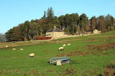
Broadgate, building in Corsenside, Northumberland, UK
Emplacement : Corsenside
Coordonnées GPS : 55.17044,-2.17052
Dernière mise à jour : 7 mars 2025 à 05:40
Habitancum
106 m
Bellingham Castle
6 km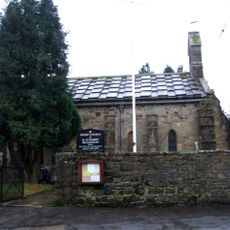
Church of St Cuthbert
6.2 km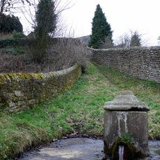
St Cuthbert's Well
6.2 km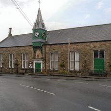
Town Hall
6.2 km
Church of St Cuthbert
3 km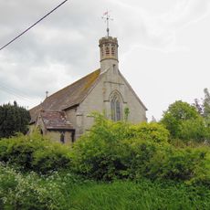
Church of All Saints
1 km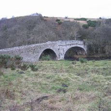
East Woodburn Bridge
1.6 km
West Woodburn Bridge
538 m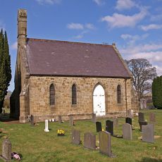
Church of St Oswald
6.5 km
Chairford Bridge
1.7 km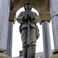
Bellingham Boer War Memorial Fountain
6.2 km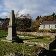
Corsenside Parish War Memorial, West Woodburn
564 m
6, Low Park
521 m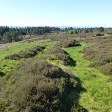
Great Wanney
4.9 km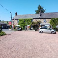
Bay Horse Inn
592 m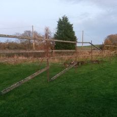
Tenters C.40 Yards South-East Of Otterburn Mill
6.5 km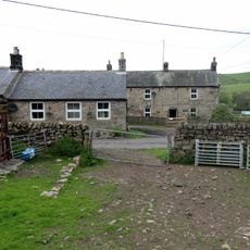
Townfoot Farmhouse And Attached Farm Buildings And Cottages
1.3 km
'Robin of Risingham' Roman Rock Carving
1.1 km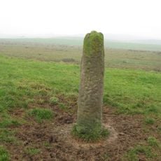
Roman milestone N of Waterfalls Farm
5.1 km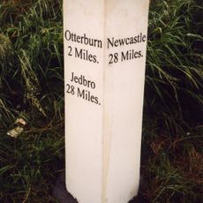
Milestone Circa A Quarter Of A Mile West Of Raylees
5.9 km
Farmbuildings 20 Yards South-East Of Townfoot Farmhouse
1.4 km
5, Low Park
527 m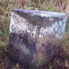
Milestone Circa 1000 Yards South Of Blaxter Cottages
6.2 km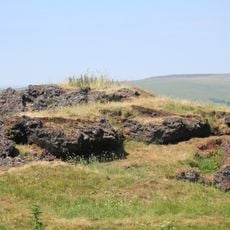
Ridsdale ironworks
2.3 km
Hole Bastle, 20 yards north of Hole Farmhouse
3 km
Medieval cross, 150m west of Woodburnhill Farm
2 km
Milestone, Raylees
6.1 kmAvis
Vous avez visité ce lieu ? Touchez les étoiles pour le noter et partager votre expérience ou vos photos avec la communauté ! Essayez maintenant ! Vous pouvez annuler à tout moment.
Trouvez des trésors cachés à chaque coin de rue !
Des petits cafés pittoresques aux points de vue planqués, fuyez la foule et dénichez les lieux qui vous ressemblent vraiment. Notre app vous facilite la vie : recherche vocale, filtres malins, itinéraires optimisés et bons plans partagés par des voyageurs du monde entier. Téléchargez vite pour vivre l'aventure en version mobile !

Une approche inédite de la découverte touristique❞
— Le Figaro
Tous les lieux qui valent la peine d'être explorés❞
— France Info
Une excursion sur mesure en quelques clics❞
— 20 Minutes