
Footbridge Across Riding Mill Burn 40 Metres North Of St. James' Church*
Footbridge Across Riding Mill Burn 40 Metres North Of St. James' Church*, footbridge in Broomhaugh and Riding, Northumberland, UK
Emplacement : Broomhaugh and Riding
Coordonnées GPS : 54.94688,-1.97273
Dernière mise à jour : 1 mai 2025 à 14:51
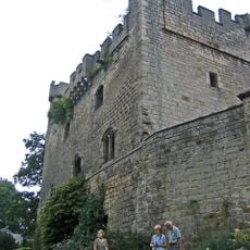
Château de Bywell
3.1 km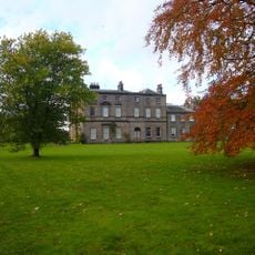
Bywell Hall
2.8 km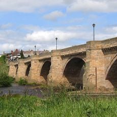
Corbridge Bridge
4.1 km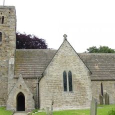
St Andrew's Church, Bywell
3 km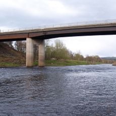
Styford Bridge
1.3 km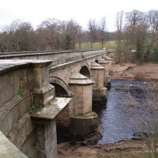
Bywell Bridge
3.4 km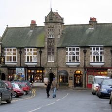
Town Hall With Shops
4.2 km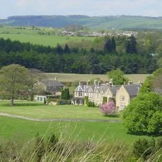
Hindley Hall
3.9 km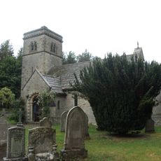
Church of St John
3 km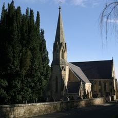
Church of St James
43 m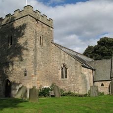
Church of St Peter
3.1 km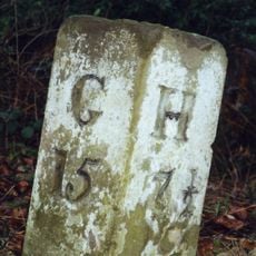
Milestone 200 Metres East Of Broomley Road Junction
2.9 km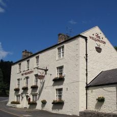
Wellington Inn
103 m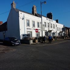
The Angel Inn
4.2 km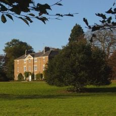
Styford Hall
780 m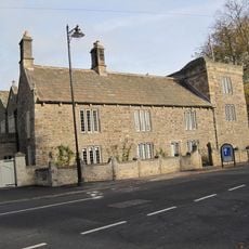
Low Hall
4 km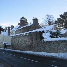
The Manor House And Wall Attached To Rear
541 m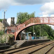
Footbridge at Riding Mill railway station
220 m
East Portal Of Farnley Scar Tunnel
2.5 km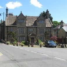
Monksholme
4 km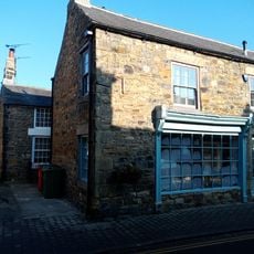
Norma James Dress Shop And Attached Cottage To Rear
4.2 km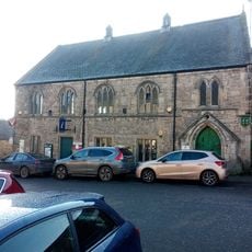
Corbridge Library
4.2 km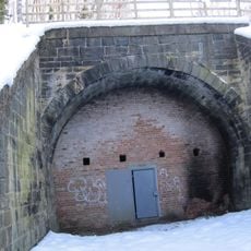
West Portal Of Farnley Scar Tunnel
2.6 km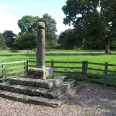
Village Cross
3 km
Milepost 90 Metres East Of Styford Lodge
2.3 km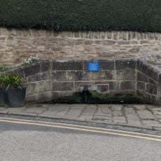
Hydrants And Trough At Junction With Orchard Crescent
4.1 km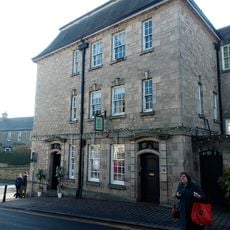
Lloyds Bank
4.2 km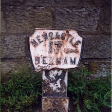
Milepost, approach on S side of bridge
4 kmAvis
Vous avez visité ce lieu ? Touchez les étoiles pour le noter et partager votre expérience ou vos photos avec la communauté ! Essayez maintenant ! Vous pouvez annuler à tout moment.
Trouvez des trésors cachés à chaque coin de rue !
Des petits cafés pittoresques aux points de vue planqués, fuyez la foule et dénichez les lieux qui vous ressemblent vraiment. Notre app vous facilite la vie : recherche vocale, filtres malins, itinéraires optimisés et bons plans partagés par des voyageurs du monde entier. Téléchargez vite pour vivre l'aventure en version mobile !

Une approche inédite de la découverte touristique❞
— Le Figaro
Tous les lieux qui valent la peine d'être explorés❞
— France Info
Une excursion sur mesure en quelques clics❞
— 20 Minutes