
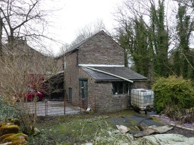
Buxworth Canal Basin. Stables to east of Wharfinger's House
Buxworth Canal Basin. Stables to east of Wharfinger's House, Grade II listed former stable in the parish of Chinley, Buxworth and Brownside, High Peak, Derbyshire, UK
Emplacement : Chinley, Buxworth and Brownside
Coordonnées GPS : 53.33592,-1.97336
Dernière mise à jour : 1 mai 2025 à 09:37

Bugsworth Basin
347 m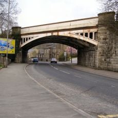
Railway Bridge
1.2 km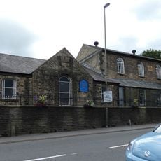
Methodist Church And Sunday School
1.1 km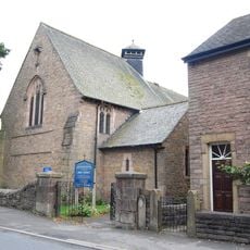
Holy Trinity Church
1.5 km
Church of St James
288 m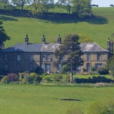
Ollerenshaw Hall
1.5 km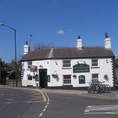
White Hart Public House
1 km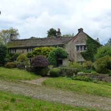
Hockerley Hall Farmhouse
1.1 km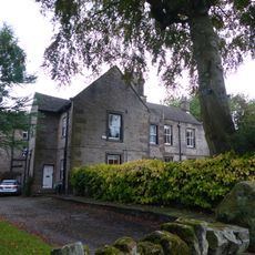
Yeardsley Hall
1.6 km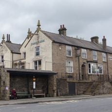
Jodrell Arms Hotel
957 m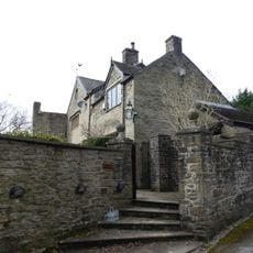
Bugsworth Hall
238 m
Canal Cottage And Attached Former Stable Block
871 m
Laneside Farmhouse
1.2 km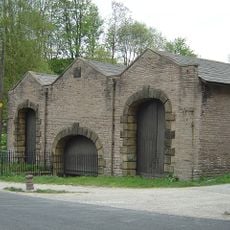
Canal Warehouse at end of Peak Forest Canal
843 m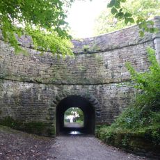
Peak Forest Canal Horse Tunnel, Buxworth Arm
505 m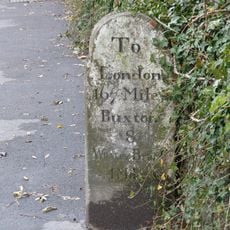
Milestone near Crescent Drive
1.1 km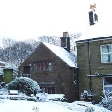
Cotebank
1.2 km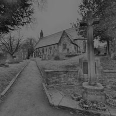
Buxworth War Memorial
309 m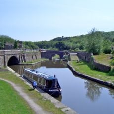
Bugsworth canal basin, tramway, quarry and limekilns
377 m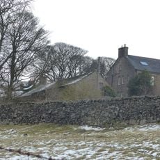
Barn to south of old farmhouse
1.4 km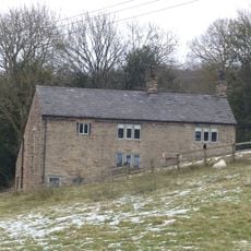
Peathill Farmhouse and barn
1.3 km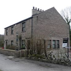
Buxworth Canal Basin. Wharfinger's House and office
24 m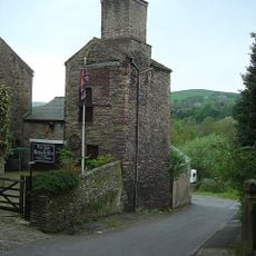
Disused Colliery Air Shaft Tower
1.1 km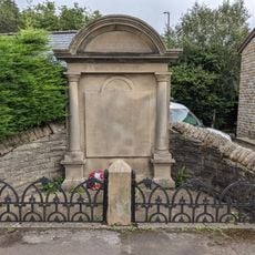
Bridgemont War Memorial
727 m
Brierley Green Farmhouse and Barn
797 m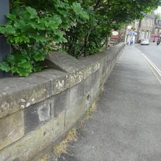
Milestone, bridge over River Goyt
1 km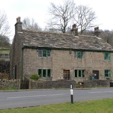
Hollins Wood Cottages
980 m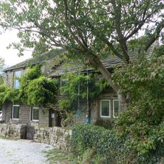
Waterside Cottage
1.2 kmVous avez visité ce lieu ? Touchez les étoiles pour le noter et partager votre expérience ou vos photos avec la communauté ! Essayez maintenant ! Vous pouvez annuler à tout moment.
Trouvez des trésors cachés à chaque coin de rue !
Des petits cafés pittoresques aux points de vue planqués, fuyez la foule et dénichez les lieux qui vous ressemblent vraiment. Notre app vous facilite la vie : recherche vocale, filtres malins, itinéraires optimisés et bons plans partagés par des voyageurs du monde entier. Téléchargez vite pour vivre l'aventure en version mobile !

Une approche inédite de la découverte touristique❞
— Le Figaro
Tous les lieux qui valent la peine d'être explorés❞
— France Info
Une excursion sur mesure en quelques clics❞
— 20 Minutes