
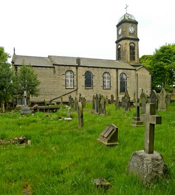
Church of St Andrew, church building in Calderdale, West Yorkshire, UK
Emplacement : Calderdale
Coordonnées GPS : 53.67303,-1.87799
Dernière mise à jour : 3 mars 2025 à 03:58
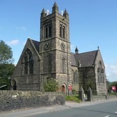
Church of St Thomas
1.8 km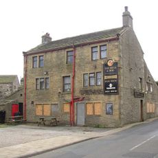
Bull and Dog Public House
476 m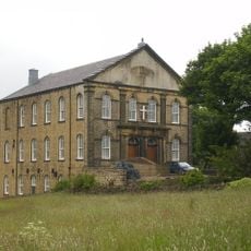
Blackley Baptist Church
2 km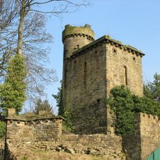
Three towers and linking wall in Shaw Park
647 m
Greetland Library
1.8 km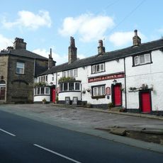
Rose and Crown Inn
2 km
The Holywell
834 m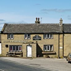
Dog and Partridge Public House
1.5 km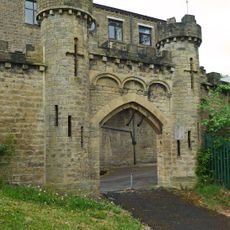
Gatehouse to Shaw Park
626 m
Milestone Opposite High Trees Lane
1.6 km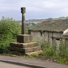
Stainland Cross
31 m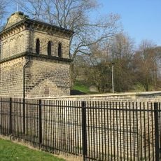
Aviary in Shaw Park
717 m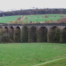
Rawroyds Viaduct
1.1 km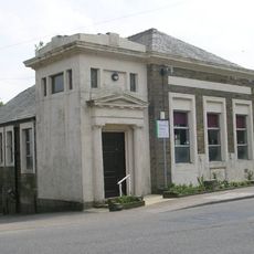
Stainland Library
420 m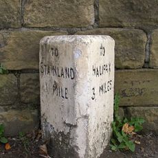
Milestone Opposite Ingwood Mill, West Vale
1.7 km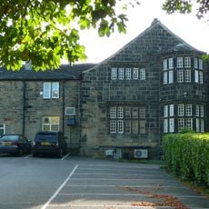
Bradley Hall Golf Club House
819 m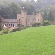
Castle Farmhouse
841 m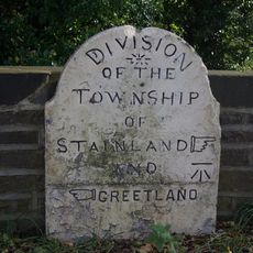
Boundary Marker on Jagger Bridge over the Black Brook
1.4 km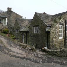
Old Bank End Farmhouse
1.9 km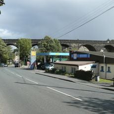
West Vale Viaduct
1.8 km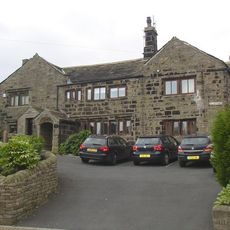
Ellistones Farmhouse
345 m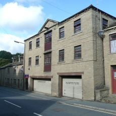
92, Saddleworth Road
2 km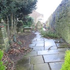
Burial ground boundary and retaining wall with gates and steps Providence United Reformed Church
845 m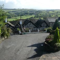
Sunny Bank
1.7 km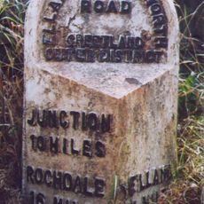
Milestone, between Greetland & Barkisland
1.6 km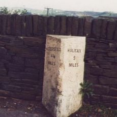
Milestone, Stainland Road, Sowood, nr Sowood Community Centre & LP147
925 m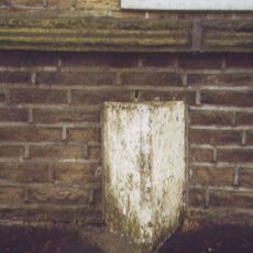
Milestone, Rochdale Road, Greetland, opp. St Thomas's Church
1.7 km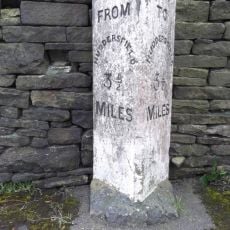
Milestone, cul de sac of New Hey Road just before jct 23 M62
1.9 kmVous avez visité ce lieu ? Touchez les étoiles pour le noter et partager votre expérience ou vos photos avec la communauté ! Essayez maintenant ! Vous pouvez annuler à tout moment.
Trouvez des trésors cachés à chaque coin de rue !
Des petits cafés pittoresques aux points de vue planqués, fuyez la foule et dénichez les lieux qui vous ressemblent vraiment. Notre app vous facilite la vie : recherche vocale, filtres malins, itinéraires optimisés et bons plans partagés par des voyageurs du monde entier. Téléchargez vite pour vivre l'aventure en version mobile !

Une approche inédite de la découverte touristique❞
— Le Figaro
Tous les lieux qui valent la peine d'être explorés❞
— France Info
Une excursion sur mesure en quelques clics❞
— 20 Minutes