
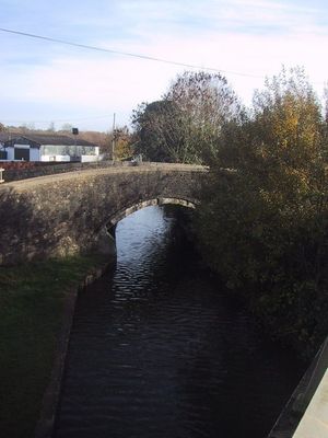
Canal Bridge Approximately 60 Metres West Of The Rock Of Gibraltar Public House
Canal Bridge Approximately 60 Metres West Of The Rock Of Gibraltar Public House, pont situé au Royaume-Uni
Emplacement : Bletchingdon
Coordonnées GPS : 51.86080,-1.30392
Dernière mise à jour : 4 mars 2025 à 22:31
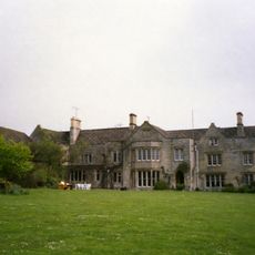
The Manor Studio
1.7 km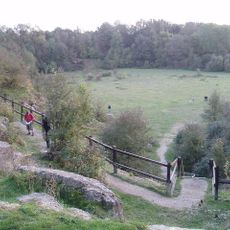
Kirtlington Quarry
2.1 km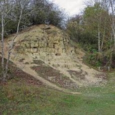
Formation d'Argile Blanc
2.1 km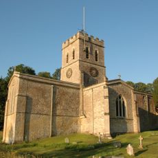
Church of St Nicholas
2 km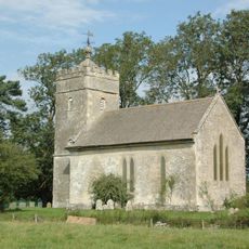
Church of St Giles
1.8 km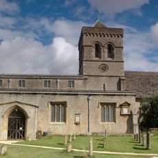
Church of St Mary, Kirtlington
2.3 km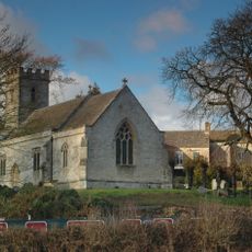
Church of Holy Cross
1.7 km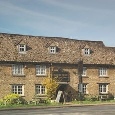
The Blacks Head Public House
2.2 km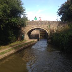
Oxford Canal Bridge At Pigeons Lock
1.3 km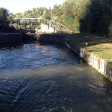
Bridge At Shipton Weir Lock, Oxford Canal
1.5 km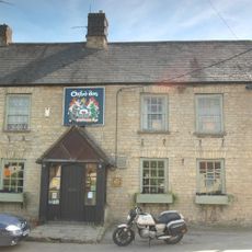
The Oxford Arms Public House And Adjoining Cottage
2.3 km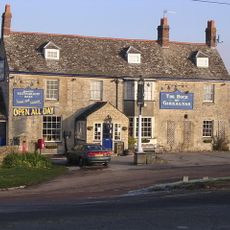
Rock Of Gibraltar Public House
78 m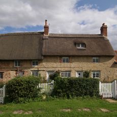
Thrupp Yard Cottages and attched outbuilding
2.4 km
The Manor and attached outbuildings
1.7 km
Shipton Lift Bridge (219) Sp 4850 1675, Oxford Canal
1.6 km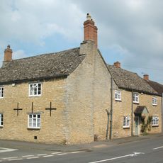
Old Red Lion
2.3 km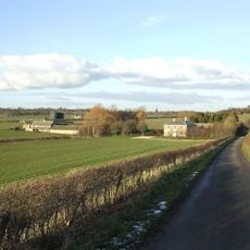
Lower Whitehill Farmhouse
674 m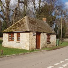
Squirrel's Drey
2.3 km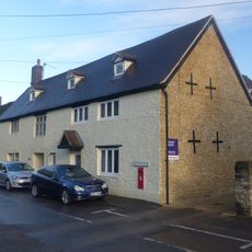
The Post Office Stores
2.3 km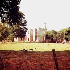
Ruins of Manor House
1.9 km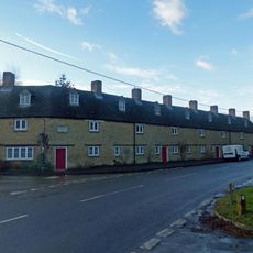
The Row
2.3 km
Manor Farmhouse
2 km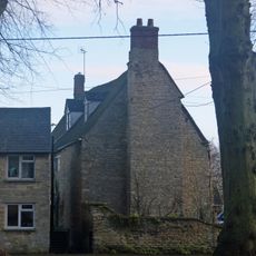
Village Farmhouse
2.4 km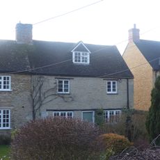
Glendale
2.2 km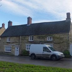
Monk's Head
2.4 km
The Malt House
2.4 km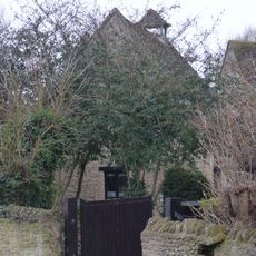
Dovecote and granary approximately 15 metres east of Manor Farmhouse
2.3 km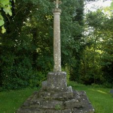
Shipton-on-Cherwell churchyard cross
1.7 kmAvis
Vous avez visité ce lieu ? Touchez les étoiles pour le noter et partager votre expérience ou vos photos avec la communauté ! Essayez maintenant ! Vous pouvez annuler à tout moment.
Trouvez des trésors cachés à chaque coin de rue !
Des petits cafés pittoresques aux points de vue planqués, fuyez la foule et dénichez les lieux qui vous ressemblent vraiment. Notre app vous facilite la vie : recherche vocale, filtres malins, itinéraires optimisés et bons plans partagés par des voyageurs du monde entier. Téléchargez vite pour vivre l'aventure en version mobile !

Une approche inédite de la découverte touristique❞
— Le Figaro
Tous les lieux qui valent la peine d'être explorés❞
— France Info
Une excursion sur mesure en quelques clics❞
— 20 Minutes