
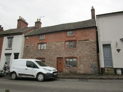
71, The Green, building in Mountsorrel, Charnwood, Leicestershire, UK
Emplacement : Mountsorrel
Coordonnées GPS : 52.72679,-1.13941
Dernière mise à jour : 3 mars 2025 à 03:54
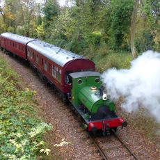
Mountsorrel Railway
727 m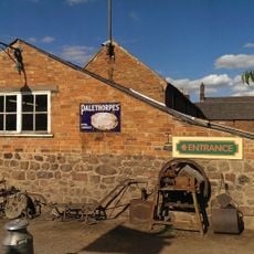
Stonehurst Farm
809 m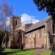
Church of St Mary the Virgin and St John the Baptist, Rothley
2.1 km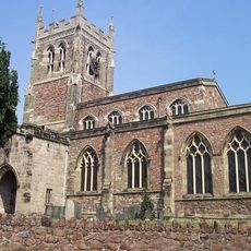
Church of St Mary
1.9 km
Main Quarry, Mountsorrel
513 m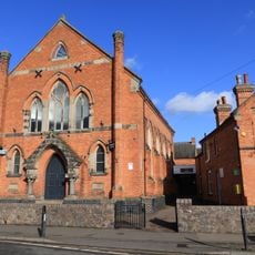
Sileby Wesleyan Methodist Church
2 km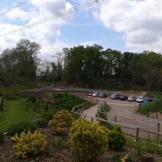
Mountsorrel and Rothley Community Heritage Centre
1.2 km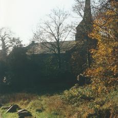
Christ Church
116 m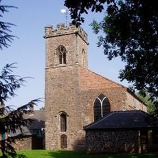
Church of St Peter
424 m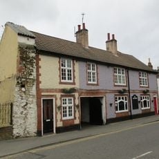
The Nag's Head Public House
481 m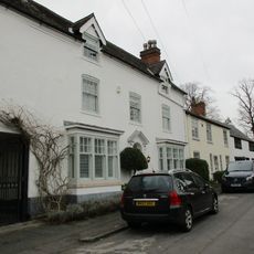
4, Church Street
2.1 km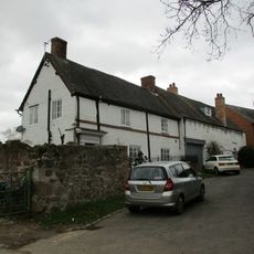
33, Little Church Lane
1.9 km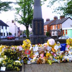
Rothley War Memorial and Walls
1.9 km
Mountsorrel War Memorial
181 m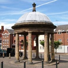
The Market Cross
359 m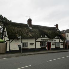
Free Trade Inn Public House
2 km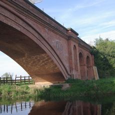
Mountsorrel Mineral Railway Bridge
722 m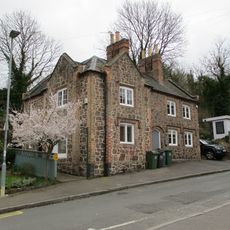
5 And 7, Watling Street
329 m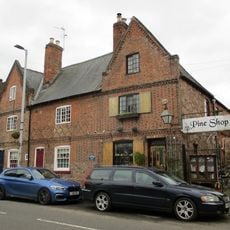
3, 5 And 7, Loughborough Road
446 m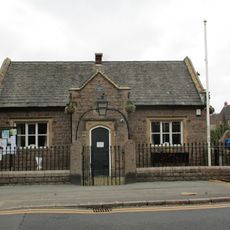
Parish Room With Walls, Piers, Gates And Railings
305 m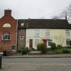
1 and 3, Watling Street
336 m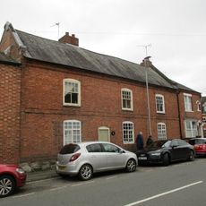
35 And 37, Cossington Road
2 km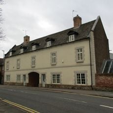
The Grapes
314 m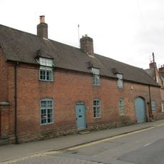
1, Loughborough Road
437 m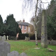
Mercian cross, St Mary and St John's churchyard
2.1 km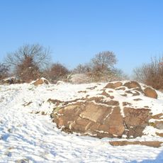
Motte castrale de Mountsorrel
204 m
2, Loughborough Road
443 m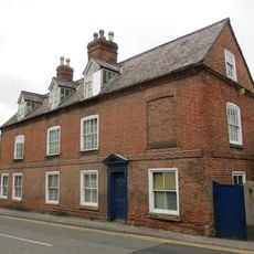
4, Loughborough Road
456 mVous avez visité ce lieu ? Touchez les étoiles pour le noter et partager votre expérience ou vos photos avec la communauté ! Essayez maintenant ! Vous pouvez annuler à tout moment.
Trouvez des trésors cachés à chaque coin de rue !
Des petits cafés pittoresques aux points de vue planqués, fuyez la foule et dénichez les lieux qui vous ressemblent vraiment. Notre app vous facilite la vie : recherche vocale, filtres malins, itinéraires optimisés et bons plans partagés par des voyageurs du monde entier. Téléchargez vite pour vivre l'aventure en version mobile !

Une approche inédite de la découverte touristique❞
— Le Figaro
Tous les lieux qui valent la peine d'être explorés❞
— France Info
Une excursion sur mesure en quelques clics❞
— 20 Minutes