
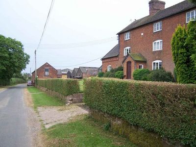
Weston House Farmhouse, farmhouse in Standon, Stafford, Staffordshire, UK
Emplacement : Standon
Coordonnées GPS : 52.92607,-2.28980
Dernière mise à jour : 28 mars 2025 à 23:59
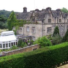
Maer Hall
2.3 km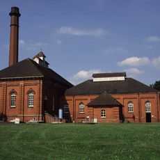
Mill Meece Pumping Station
3.6 km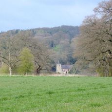
Church of St Peter
2.2 km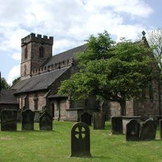
Church of All Saints
2.1 km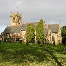
Church of St John the Baptist
4.3 km
Church of St Paul
4.6 km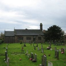
Church of St James
3.1 km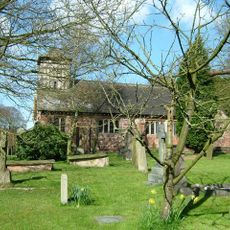
Church of St Mary and All Saints
4.5 km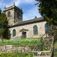
Church of St Lawrence
1.4 km
Hatton Water Pumping Station Boiler House And Chimney
2.4 km
Park Bridge, Steps And Revetment Walls About 100 Metres North Of Maer Hall
2.3 km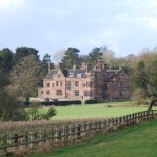
Standon Hall (Now Part Of Standon Hall Orthopaedic Hospital)
1.2 km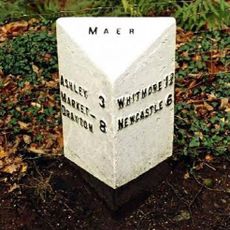
Milepost At Ngr Sj 7853 3968
3.8 km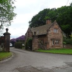
Lodge Of Standon Hall
1.3 km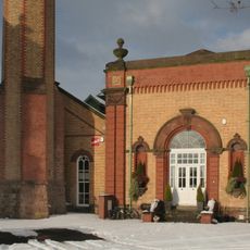
Hatton Water Pumping Station Secondary Pump House
2.4 km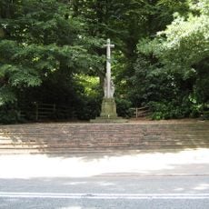
Maer War Memorial
2.8 km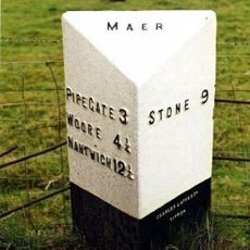
Milepost At Ngr Sj 7823 3884
3.3 km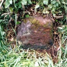
Milestone, NW of Vernon Yonge Arms, Croxtonbank
4.5 km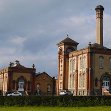
Hatton Water Pumping Station And Chimney
2.4 km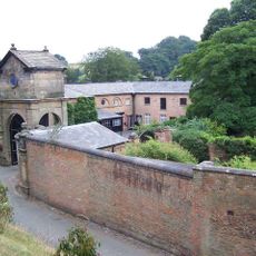
Gatehouse, flanking walls and bollards to Maer Hall
2.2 km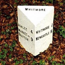
Milepost At Ngr Sj 7980 4054
4.1 km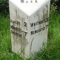
Milepost At Ngr Sj 7724 3878
4 km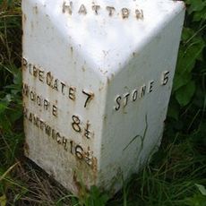
Milepost, Black Bank
2.6 km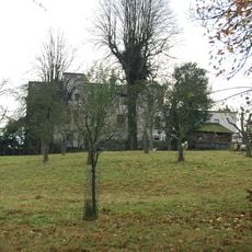
Charnes Hall
3.8 km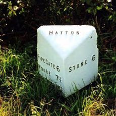
Milepost, The Rowe
2.1 km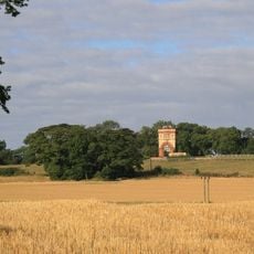
Water Tower Half A Mile To North Of Swynnerton Village
4.6 km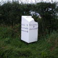
Milepost, N of Millmeece
3.8 km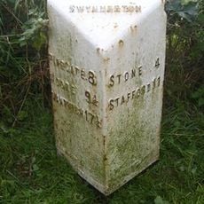
Milepost, near Cash's Pit, north of Swynnerton village
4.1 kmVous avez visité ce lieu ? Touchez les étoiles pour le noter et partager votre expérience ou vos photos avec la communauté ! Essayez maintenant ! Vous pouvez annuler à tout moment.
Trouvez des trésors cachés à chaque coin de rue !
Des petits cafés pittoresques aux points de vue planqués, fuyez la foule et dénichez les lieux qui vous ressemblent vraiment. Notre app vous facilite la vie : recherche vocale, filtres malins, itinéraires optimisés et bons plans partagés par des voyageurs du monde entier. Téléchargez vite pour vivre l'aventure en version mobile !

Une approche inédite de la découverte touristique❞
— Le Figaro
Tous les lieux qui valent la peine d'être explorés❞
— France Info
Une excursion sur mesure en quelques clics❞
— 20 Minutes