
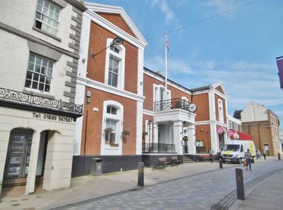
Town Hall, rathaus in Uttoxeter, East Staffordshire, Staffordshire, UK
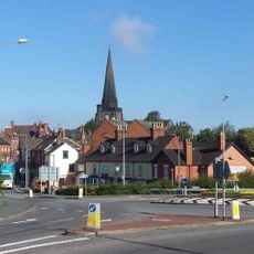
Emplacement : Uttoxeter
Coordonnées GPS : 52.89916,-1.86568
Dernière mise à jour : 7 mars 2025 à 03:19
St. Mary the Virgin Church, Uttoxeter
198 m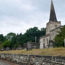
St Cuthbert's Church, Doveridge
2.3 km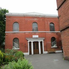
Congregational Church
131 m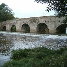
Dove Bridge
1.7 km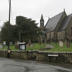
Church of St Michael
2.6 km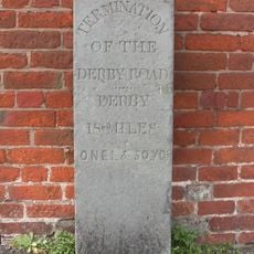
Marker Stone To Left Of Former St Marys Church Of England School
158 m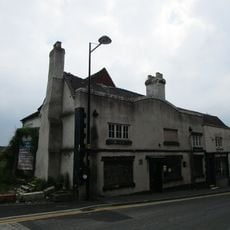
Wheatsheaf Inn
252 m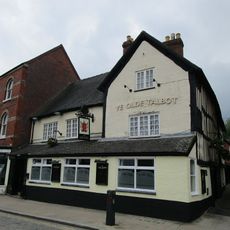
The Old Talbot Inn
145 m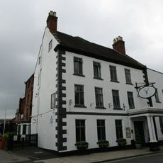
White Hart Hotel
115 m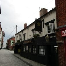
The Old Star Public House
201 m
Former Cross Keys Hotel (Ws Bagshaw And Sons, Auctioneers)
18 m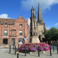
Uttoxeter War Memorial
213 m
Black Swan Public House
199 m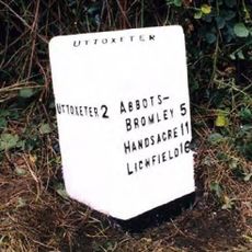
Milepost Near Highfields Farm
2.7 km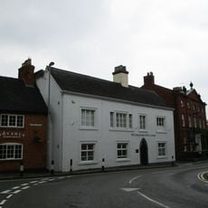
Rural District Offices
172 m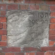
Mile Stone To North West Of The Manor House
192 m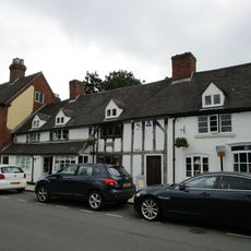
32-36, Carter Street
146 m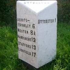
Milepost, by Plough public house, near junction
1.4 km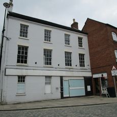
33 And 35, Market Place
171 m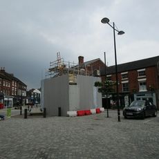
Conduit Or Market Cross
148 m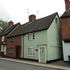
39, Carter Street
187 m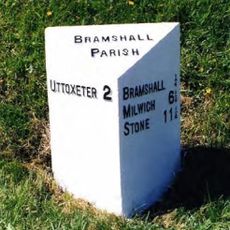
Milepost At Ngr Sk 06363328
2.8 km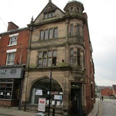
1, Market Street
196 m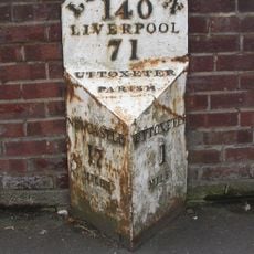
Milepost (1 Mile From Uttoxeter)
1.1 km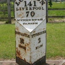
Milepost, by entrance to JCB parts division building
2.7 km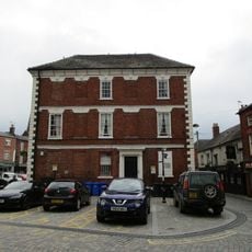
21, Market Place
174 m
Milepost, Willslock
2.7 km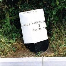
Milepost, Highwood
1.4 kmVous avez visité ce lieu ? Touchez les étoiles pour le noter et partager votre expérience ou vos photos avec la communauté ! Essayez maintenant ! Vous pouvez annuler à tout moment.
Trouvez des trésors cachés à chaque coin de rue !
Des petits cafés pittoresques aux points de vue planqués, fuyez la foule et dénichez les lieux qui vous ressemblent vraiment. Notre app vous facilite la vie : recherche vocale, filtres malins, itinéraires optimisés et bons plans partagés par des voyageurs du monde entier. Téléchargez vite pour vivre l'aventure en version mobile !

Une approche inédite de la découverte touristique❞
— Le Figaro
Tous les lieux qui valent la peine d'être explorés❞
— France Info
Une excursion sur mesure en quelques clics❞
— 20 Minutes