
Whalton Church Of England Aided School, school building in Whalton, Northumberland, UK
Emplacement : Whalton
Coordonnées GPS : 55.12540,-1.79688
Dernière mise à jour : 10 avril 2025 à 20:45
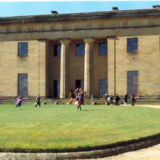
Belsay Hall
5.2 km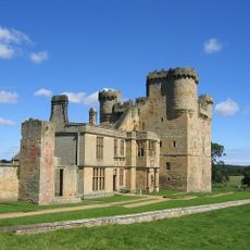
Château de Belsay
5.3 km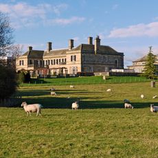
Kirkley Hall
4.5 km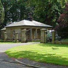
Mitford Hall
5.4 km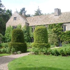
Ogle Castle
2.4 km
Meldon Park
4.8 km
Whalton Manor
305 m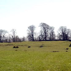
Defended settlement on Slate Hill, 300m north west of Bolam Lake
5.4 km
Church of St Andrew
4 km
Church of St John the Baptist
2.9 km
Church of St Mary Magdalene
57 m
Lodge At Entrance To Meldon Park
5 km
Milepost Opposite West Edington
2.6 km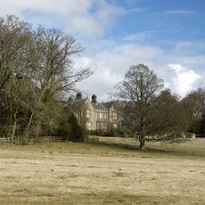
Angerton Hall And Attached Wall To North-East
5.3 km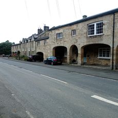
The Arcade
3.8 km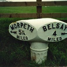
Milepost 30 Metres West Of Camp House
1.2 km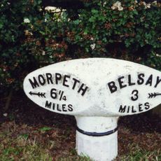
Milepost 100 Metres East Of Whiteside North
362 m
The Lodge
5.6 km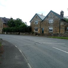
East Lodge To Belsay Hall
3.9 km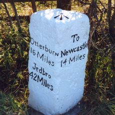
Milepost At Junction With B6309
4.5 km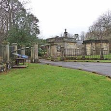
Piers And Screen Walls At Entrance To Meldon Park
5 km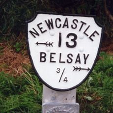
Milepost On North Side Of Shiningpool Bridge
3.4 km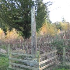
Belsay Village Cross approx 250 yards east of Belsay Castle
5.1 km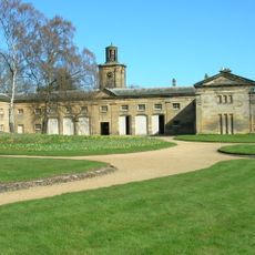
Stable Block Approx 30 Yards North-east Of Belsay Hall
5 km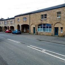
The Arcade
3.8 km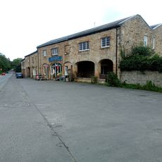
The Arcade
3.8 km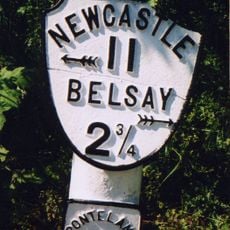
Milepost, Milbourne, just N of "Waggon Inn" PH
5.4 km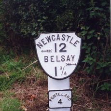
Milepost, Ogle, nr Nunhill Farm, N of The Highlander Inn
4.1 kmVous avez visité ce lieu ? Touchez les étoiles pour le noter et partager votre expérience ou vos photos avec la communauté ! Essayez maintenant ! Vous pouvez annuler à tout moment.
Trouvez des trésors cachés à chaque coin de rue !
Des petits cafés pittoresques aux points de vue planqués, fuyez la foule et dénichez les lieux qui vous ressemblent vraiment. Notre app vous facilite la vie : recherche vocale, filtres malins, itinéraires optimisés et bons plans partagés par des voyageurs du monde entier. Téléchargez vite pour vivre l'aventure en version mobile !

Une approche inédite de la découverte touristique❞
— Le Figaro
Tous les lieux qui valent la peine d'être explorés❞
— France Info
Une excursion sur mesure en quelques clics❞
— 20 Minutes