
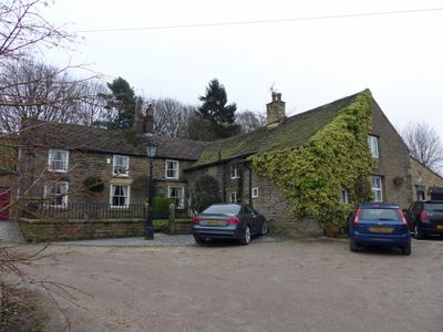
Townscliffe Cottage, Townscliffe Farmhouse, farmhouse in Stockport, Greater Manchester, UK
Emplacement : Stockport
Coordonnées GPS : 53.39686,-2.03836
Dernière mise à jour : 4 mars 2025 à 12:15
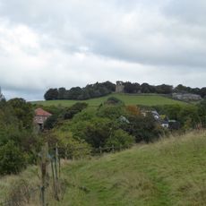
Mellor hill fort
662 m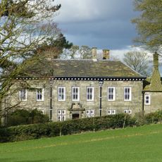
Mellor Hall
1.1 km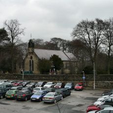
Church of St Martin, Marple
1.3 km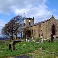
St. Thomas' Church, Mellor
641 m
Roman Lakes Leisure Park
1.2 km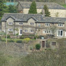
Pear Tree Farmhouse
838 m
Marple Bridge
1.2 km
Bottoms Bridge
1.1 km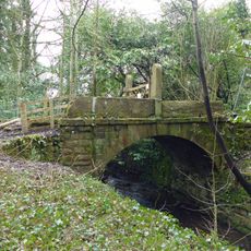
Bridge over mill stream immediately east of Bottoms Bridge
1 km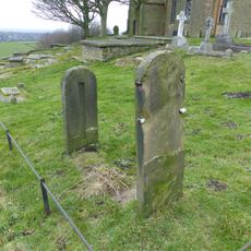
Stocks in graveyard of Church of St Thomas the Apostle
660 m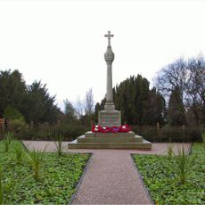
Mellor War Memorial
464 m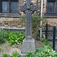
Marple Bridge United Reformed Church War Memorial
1 km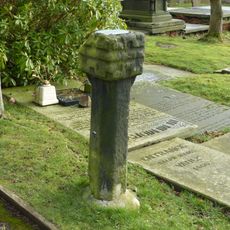
Remains of Saxon cross in graveyard of Church of St Thomas the Apostle
680 m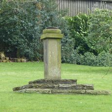
Sundial At Mellor Hall
1.1 km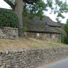
Barn at Pear Tree Farm
824 m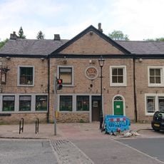
Norfolk Arms And National Westminster Bank, Marple Bridge Branch
1.1 km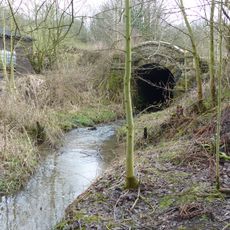
Culvert 10 metres to north of Bottoms Hall
910 m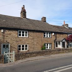
Oldstones
460 m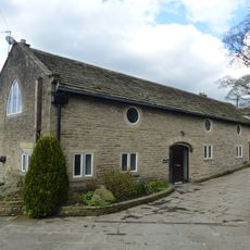
Outbuilding to west of Mellor Hall and north of barn
1.1 km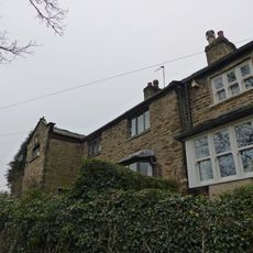
30 and 32, Mill Brow
901 m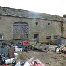
Outbuildings immediately south east of Old Hall Farmhouse
909 m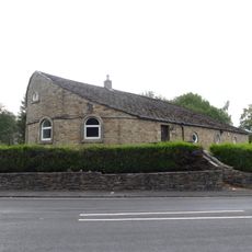
32, Strines Road
1.3 km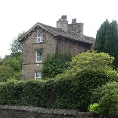
Bleak House
1.3 km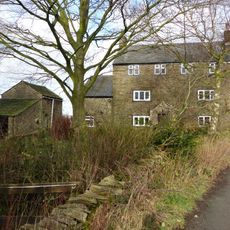
Tarden
919 m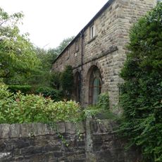
Lime Kiln Farm
1.3 km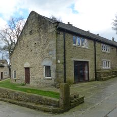
Barn to south west of Mellor Hall
1.1 km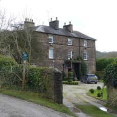
Old Hall/Old Hall Farmhouse
929 m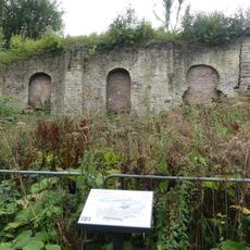
Oldknow's limekilns, Strines Road
1.3 kmVous avez visité ce lieu ? Touchez les étoiles pour le noter et partager votre expérience ou vos photos avec la communauté ! Essayez maintenant ! Vous pouvez annuler à tout moment.
Trouvez des trésors cachés à chaque coin de rue !
Des petits cafés pittoresques aux points de vue planqués, fuyez la foule et dénichez les lieux qui vous ressemblent vraiment. Notre app vous facilite la vie : recherche vocale, filtres malins, itinéraires optimisés et bons plans partagés par des voyageurs du monde entier. Téléchargez vite pour vivre l'aventure en version mobile !

Une approche inédite de la découverte touristique❞
— Le Figaro
Tous les lieux qui valent la peine d'être explorés❞
— France Info
Une excursion sur mesure en quelques clics❞
— 20 Minutes