
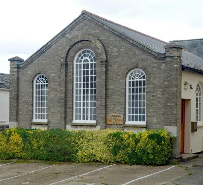
Methodist Church Hall, church hall in Manningtree, Tendring, Essex, UK
Emplacement : Manningtree
Coordonnées GPS : 51.94353,1.06444
Dernière mise à jour : 3 mars 2025 à 18:36
Flatford Mill
3.4 km
Mistley Towers
927 m
St Mary's Church, Lawford
1.8 km
Cattawade Marshes
1.8 km
Corn Exchange
214 m
Church of St Michael and All Angels
2.6 km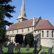
Church of St Mary and St Michael
682 m
Methodist Church
16 m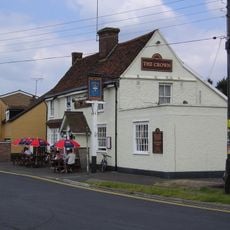
The Crown Public House
1.5 km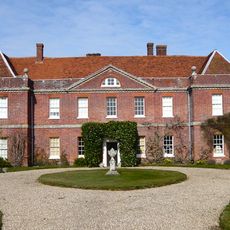
Lawford Hall
1.9 km
The Red Lion Public House
128 m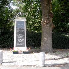
Lawford War Memorial
1.9 km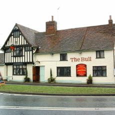
The Bull, Brantham
3.2 km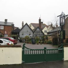
The Crown Public House Including Extension And Carriageway To Right
233 m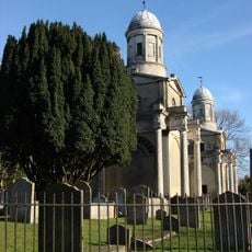
Mistley Towers, North West Tower
925 m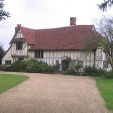
Valley Farmhouse
3.4 km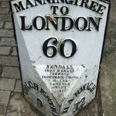
Milepost
250 m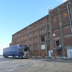
No. 2 Maltings
1 km
Cattawade Viaduct
1.1 km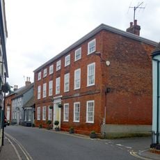
The Surgery
211 m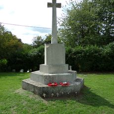
Brantham War Memorial Cross
2.6 km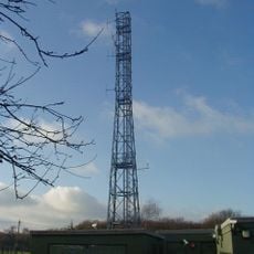
Former AAOR And County Emergency HQ
1.5 km
River Stour Viaduct, Manningtree
1.1 km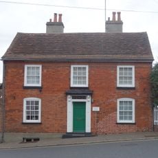
Russell House
254 m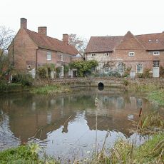
Millers House And Cottage
3.4 km
Milestone, 300m E of A137 jct
1.4 km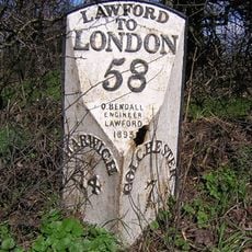
Milepost, Harwich Road
2.7 km
Milepost, Market Place at TM10543184
253 mVous avez visité ce lieu ? Touchez les étoiles pour le noter et partager votre expérience ou vos photos avec la communauté ! Essayez maintenant ! Vous pouvez annuler à tout moment.
Trouvez des trésors cachés à chaque coin de rue !
Des petits cafés pittoresques aux points de vue planqués, fuyez la foule et dénichez les lieux qui vous ressemblent vraiment. Notre app vous facilite la vie : recherche vocale, filtres malins, itinéraires optimisés et bons plans partagés par des voyageurs du monde entier. Téléchargez vite pour vivre l'aventure en version mobile !

Une approche inédite de la découverte touristique❞
— Le Figaro
Tous les lieux qui valent la peine d'être explorés❞
— France Info
Une excursion sur mesure en quelques clics❞
— 20 Minutes