
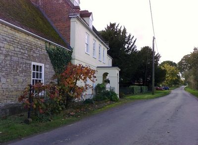
Manor Farmhouse, farmhouse in Old Stratford, South Northamptonshire, Northamptonshire, UK
Emplacement : Old Stratford
Coordonnées GPS : 52.04965,-0.86532
Dernière mise à jour : 11 mars 2025 à 08:02
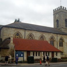
Parish Church of St Mary and St Giles
1.1 km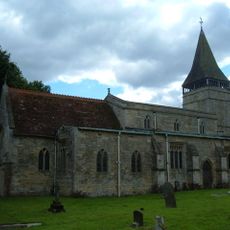
Church of St Mary
2.7 km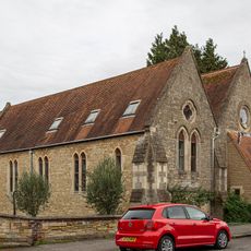
Church of St Mary
1.3 km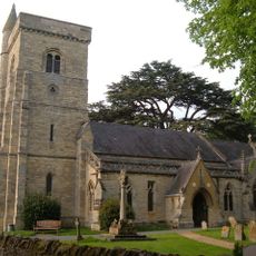
Church of All Saints
1.3 km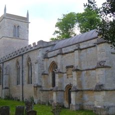
Church of St Guthlac, Passenham
229 m
Church of Holy Trinity
1.8 km
Former St Anthonys Franciscan Preparatory School
1.2 km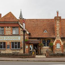
The Plough Inn
1.2 km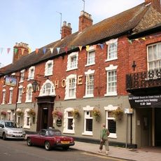
The Cock Hotel
1.2 km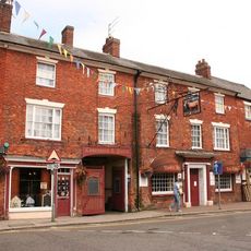
The Bull Hotel
1.2 km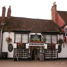
The Old George
1.2 km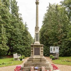
Stony Stratford War Memorial Cross
1 km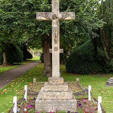
Deanshanger War Memorial
1.7 km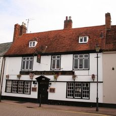
The Crown Public House
1 km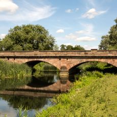
Bridge Over River Ouse (That Part In Old Stratford Civil Parish)
1.4 km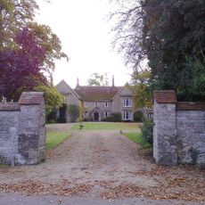
The Manor House And Attached Walls And Gates
182 m
St Mary's Parish Hall
1.3 km
Old Wolverton Mill
2.2 km
Working Men's Social Club
1.2 km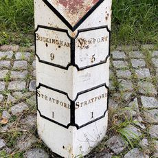
Milepost, Stratford Road; Wolverton Mill, by Wolverton Park, opp. Mill End, 100m W of double mini-roundabout
2.7 km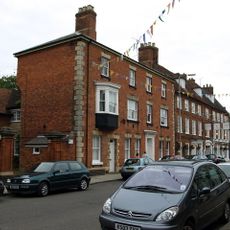
Tower House
1.2 km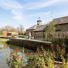
Barn And Coach House To East Of Old Wolverton Mill
2.2 km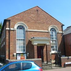
Methodist Church And Church Hall
1 km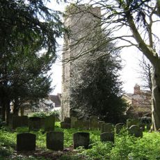
Remains of the church and churchyard of St Mary Magdalen
1.2 km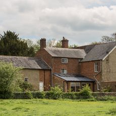
Wolverton Park
2.7 km
8, Market Square
1.1 km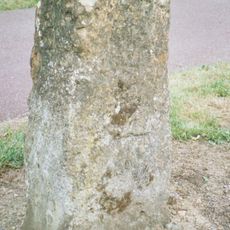
Milestone, Watling Street; just SE of Galley Hill traffic island
1.8 km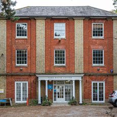
York House (Youth Club)
1.3 kmVous avez visité ce lieu ? Touchez les étoiles pour le noter et partager votre expérience ou vos photos avec la communauté ! Essayez maintenant ! Vous pouvez annuler à tout moment.
Trouvez des trésors cachés à chaque coin de rue !
Des petits cafés pittoresques aux points de vue planqués, fuyez la foule et dénichez les lieux qui vous ressemblent vraiment. Notre app vous facilite la vie : recherche vocale, filtres malins, itinéraires optimisés et bons plans partagés par des voyageurs du monde entier. Téléchargez vite pour vivre l'aventure en version mobile !

Une approche inédite de la découverte touristique❞
— Le Figaro
Tous les lieux qui valent la peine d'être explorés❞
— France Info
Une excursion sur mesure en quelques clics❞
— 20 Minutes