
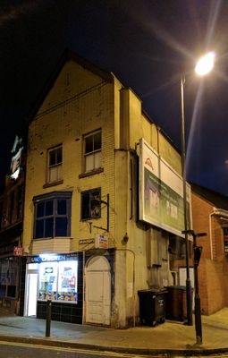
Rock Court, three houses and attached stable and cartshed in Mansfield, Nottinghamshire, England
Emplacement : Mansfield
Coordonnées GPS : 53.14381,-1.19347
Dernière mise à jour : 6 mars 2025 à 03:46
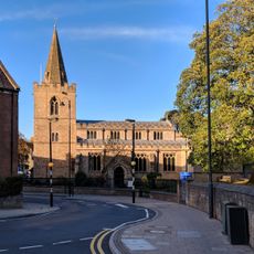
St. Peter and St. Paul's Church, Mansfield
36 m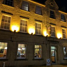
The White Hart Public House
122 m
10-16, Church Side
61 m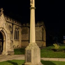
War Memorial 5 Metres South of Church of St Peter and St Paul
58 m
5 and 7, Church Street
142 m
Bridge Street Methodist Church
116 m
21, Church Street
74 m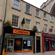
11 and 13, Church Street
120 m
15, Church Street
87 m
32 and 32B, Church Street
40 m
17 and 19, Church Street
82 m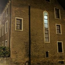
Church House
73 m
36, Church Street
36 m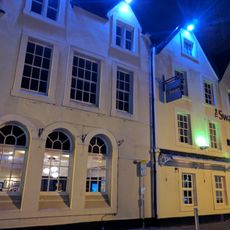
The Swan Hotel
151 m
Mansfield Viaduct
106 m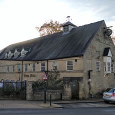
Town Mill Public House And Adjoining Boundary Wall
88 m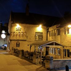
The Bridge Tavern Public House
74 m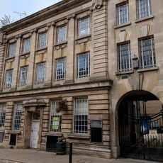
Head Post Office
85 m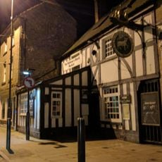
The Old Ram Public House
43 m
5, Bridge Street
47 m
13, 15 And 17, Bridge Street
86 m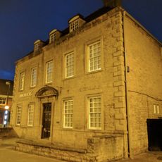
St Peter's House
26 m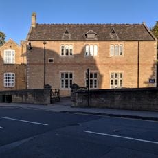
Boundary Wall And Gate Piers At Old Grammar School
87 m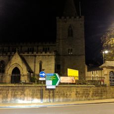
Boundary Wall And Gates To Churchyard Of St Peter And St Paul
28 m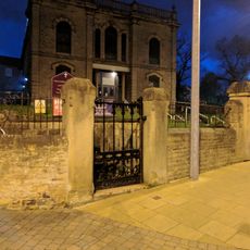
Boundary Wall And Gates At Bridge Street Methodist Church
108 m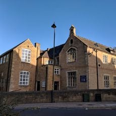
Old Grammar School
89 m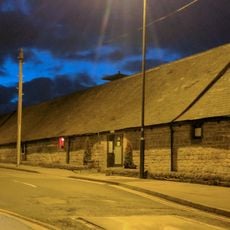
The Old Maltings
112 m
8, Market Place
182 mVous avez visité ce lieu ? Touchez les étoiles pour le noter et partager votre expérience ou vos photos avec la communauté ! Essayez maintenant ! Vous pouvez annuler à tout moment.
Trouvez des trésors cachés à chaque coin de rue !
Des petits cafés pittoresques aux points de vue planqués, fuyez la foule et dénichez les lieux qui vous ressemblent vraiment. Notre app vous facilite la vie : recherche vocale, filtres malins, itinéraires optimisés et bons plans partagés par des voyageurs du monde entier. Téléchargez vite pour vivre l'aventure en version mobile !

Une approche inédite de la découverte touristique❞
— Le Figaro
Tous les lieux qui valent la peine d'être explorés❞
— France Info
Une excursion sur mesure en quelques clics❞
— 20 Minutes