
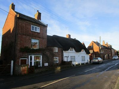
16, Long Street, building in Belton, North West Leicestershire, Leicestershire, UK
Emplacement : Belton
Adresse : 16, Long Street, Belton, North West Leicestershire, Leicestershire, LE12
Coordonnées GPS : 52.78173,-1.33977
Dernière mise à jour : 7 mars 2025 à 10:22
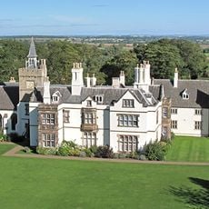
Grace Dieu Manor
2.9 km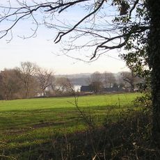
Blackbrook Reservoir
3.4 km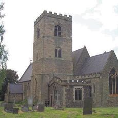
All Saints Church, Long Whatton
4.5 km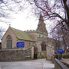
St Botolph's Church, Shepshed
3.6 km
Oakley Wood
4 km
Breedon Cloud Wood and Quarry
3.2 km
One Barrow Plantation
4 km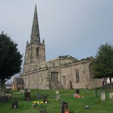
Church of St John the Baptist
207 m
Grace Dieu and High Sharpley
3.8 km
Pasture and Asplin Woods
2.3 km
Shepshed Cutting
2.6 km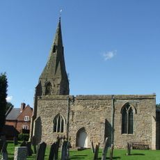
St Michael and All Angels' Church, Diseworth
3.9 km
Church of St Matthew
4 km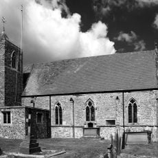
Church of St Mary
1.9 km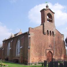
Church of St George
4.5 km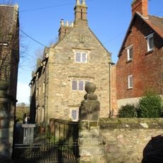
3-5, Church Lane
1.9 km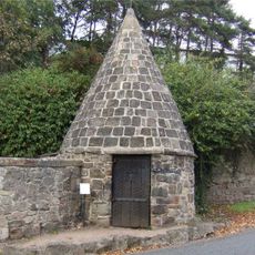
Lock Up And Pound
4.5 km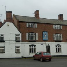
The George Public House
162 m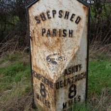
Milepost At Os Sk 469218
2.6 km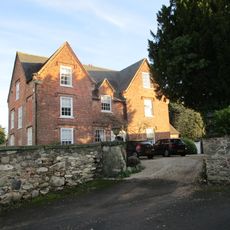
The Old Vicarage
184 m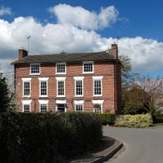
Hallington House
2 km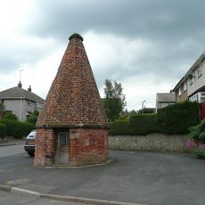
Lock up known as The Round House, at the junction of Church Street and St Matthew's Avenue
3.8 km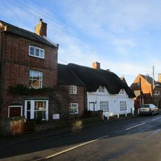
14, Long Street
14 m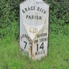
Milepost At Os Sk 432182
2.8 km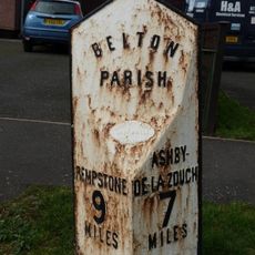
Milepost At Os Sk 456210
1 km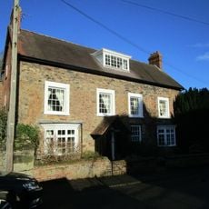
The Old Rectory
1.9 km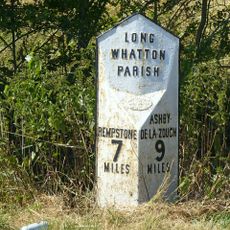
Milepost At Os Sk 483224
4.1 km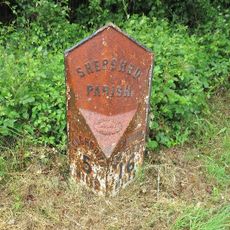
Milepost, Ashby Road West, SW of Blackbrook Hill House
2.8 kmVous avez visité ce lieu ? Touchez les étoiles pour le noter et partager votre expérience ou vos photos avec la communauté ! Essayez maintenant ! Vous pouvez annuler à tout moment.
Trouvez des trésors cachés à chaque coin de rue !
Des petits cafés pittoresques aux points de vue planqués, fuyez la foule et dénichez les lieux qui vous ressemblent vraiment. Notre app vous facilite la vie : recherche vocale, filtres malins, itinéraires optimisés et bons plans partagés par des voyageurs du monde entier. Téléchargez vite pour vivre l'aventure en version mobile !

Une approche inédite de la découverte touristique❞
— Le Figaro
Tous les lieux qui valent la peine d'être explorés❞
— France Info
Une excursion sur mesure en quelques clics❞
— 20 Minutes