
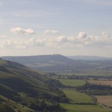
Cross dyke and platform barrow 460m south east of Chanctonbury Ring hillfort
Cross dyke and platform barrow 460m south east of Chanctonbury Ring hillfort, cross dyke in Wiston, Horsham, England, UK
Emplacement : Wiston
Coordonnées GPS : 50.89350,-0.37726
Dernière mise à jour : 17 avril 2025 à 16:27
Parc national des South Downs
2.1 km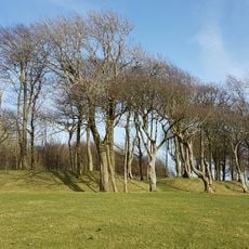
Chanctonbury Ring
476 m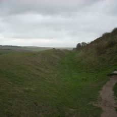
Cissbury Ring
3.5 km
Steyning Grammar School
3.4 km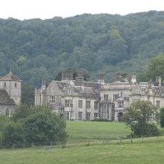
Wiston House
1.5 km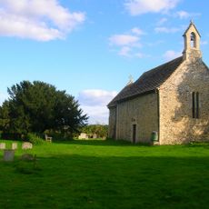
All Saints Church, Buncton
2.2 km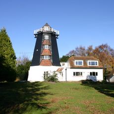
Rock Mill
2.4 km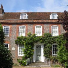
Chantry House, Steyning
3.5 km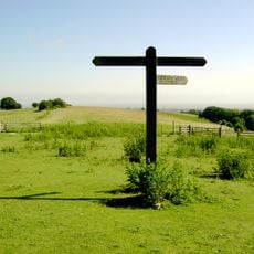
Worthing Downland Estate
3.7 km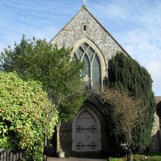
Steyning Methodist Church
3.6 km
Jarvis Hall, Steyning
3.7 km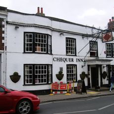
Chequer Inn
3.4 km
38, High Street
3.5 km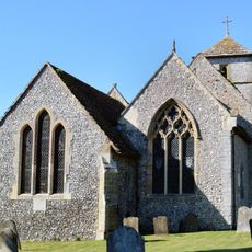
The Parish Church of St Mary
1.5 km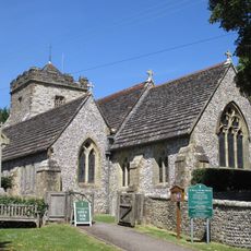
The Parish Church of St Mary
2.6 km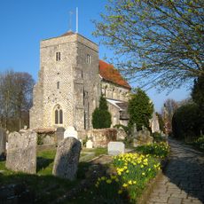
The Parish Church of St Andrew
3.7 km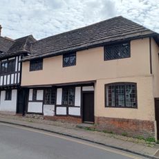
7, Church Street
3.5 km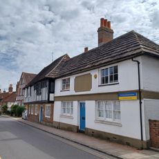
11 Church Street
3.5 km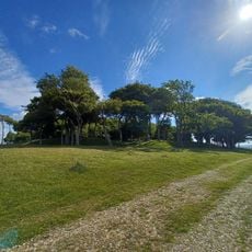
Temples romano-celtiques à Chanctonbury Ring
464 m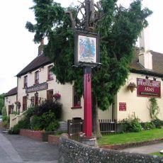
The Frankland Arms Public House
2.3 km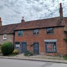
Amberley Cottages
3.6 km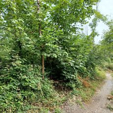
Cross dyke 760m WNW of Pepperscoombe
1.9 km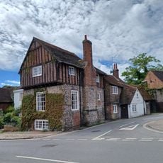
The Stone House
3.5 km
120 And 122, High Street
3.2 km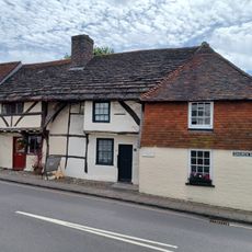
1 3 and 5, Church Street
3.5 km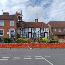
95 And 97, High Street
3.2 km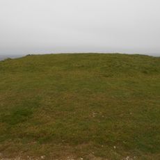
Bowl barrow 200m west of Chanctonbury Ring hillfort
583 m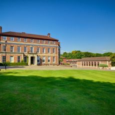
Windlesham House School
2.9 kmAvis
Vous avez visité ce lieu ? Touchez les étoiles pour le noter et partager votre expérience ou vos photos avec la communauté ! Essayez maintenant ! Vous pouvez annuler à tout moment.
Trouvez des trésors cachés à chaque coin de rue !
Des petits cafés pittoresques aux points de vue planqués, fuyez la foule et dénichez les lieux qui vous ressemblent vraiment. Notre app vous facilite la vie : recherche vocale, filtres malins, itinéraires optimisés et bons plans partagés par des voyageurs du monde entier. Téléchargez vite pour vivre l'aventure en version mobile !

Une approche inédite de la découverte touristique❞
— Le Figaro
Tous les lieux qui valent la peine d'être explorés❞
— France Info
Une excursion sur mesure en quelques clics❞
— 20 Minutes