
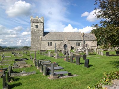
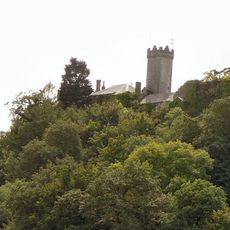
Church of St Mary, grade II listed building in Llangan, on the top of St. Mary Down with panoramic views and is itself widely visible
Emplacement : Llangan
Création : 12e siècle
Altitude : 97,1 m
Coordonnées GPS : 51.50319,-3.50289
Dernière mise à jour : 15 avril 2025 à 22:18
Penllyn Castle
3.8 km
Pwll-y-Wrach
4 km
Church Of St Crallo
1.9 km
St Canna's Church
1.5 km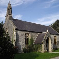
Church of St. John the Evangelist
3.6 km
Church of SS Ilid and Curig
2.8 km
Crosses at Llangan
1.7 km
Penllyn Court
2.9 km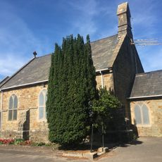
St David's Church
2.8 km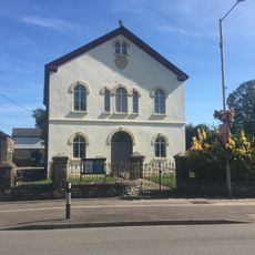
Salem Welsh Calvinisic Methodist Chapel
1.9 km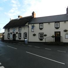
Star Inn
1.7 km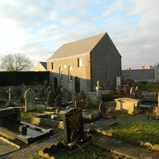
Saron Welsh Congregationalist Chapel
1.7 km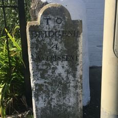
Milestone, Coychurch Road
1.7 km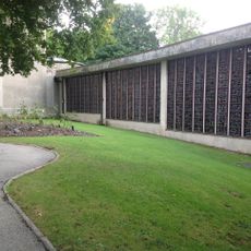
Coychurch Cemetery Capel Crallo And Capel Coity
2.7 km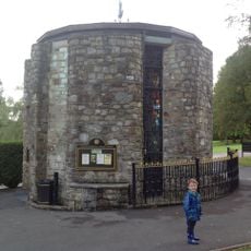
Coychurch Cemetery Chapel Of Remembrance
2.8 km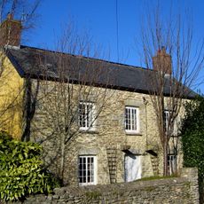
Treoes Farmhouse
1.7 km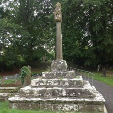
Churchyard Cross At Church Of St Canna
1.5 km
Pencoed Library
2.6 km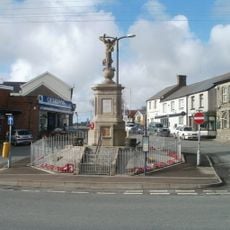
War Memorial and Railings
2.3 km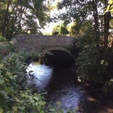
Bridge over Afon Ewenni
2.7 km
Ruthin English Calvinistic Methodist Chapel
1.4 km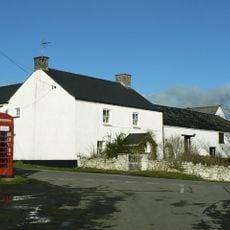
Mount Pleasant Farmhouse with attached Barn
1.8 km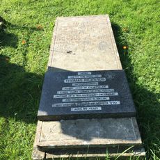
Tombstone of Thomas Richards in Coychurch churchyard
1.8 km
Tŷ Mawr
3.8 km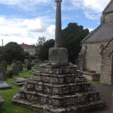
Churchyard Cross In Coychurch Churchyard
1.9 km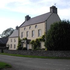
Great House
3.6 km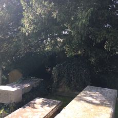
Group of 3 table tombs in Coychurch churchyard adjoining S porch
1.9 km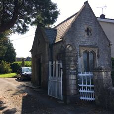
Brynffrwd Entrance and Lodge
2.1 kmVous avez visité ce lieu ? Touchez les étoiles pour le noter et partager votre expérience ou vos photos avec la communauté ! Essayez maintenant ! Vous pouvez annuler à tout moment.
Trouvez des trésors cachés à chaque coin de rue !
Des petits cafés pittoresques aux points de vue planqués, fuyez la foule et dénichez les lieux qui vous ressemblent vraiment. Notre app vous facilite la vie : recherche vocale, filtres malins, itinéraires optimisés et bons plans partagés par des voyageurs du monde entier. Téléchargez vite pour vivre l'aventure en version mobile !

Une approche inédite de la découverte touristique❞
— Le Figaro
Tous les lieux qui valent la peine d'être explorés❞
— France Info
Une excursion sur mesure en quelques clics❞
— 20 Minutes