
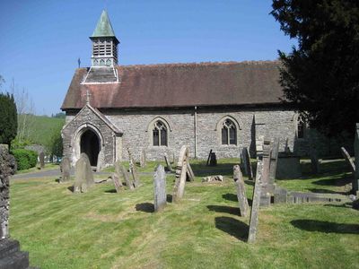
Church of St Padarn, grade II listed building in Llanbadarn Fynydd. Set back in a churchyard on the W side of the A483, approximately 0.5km S of the village centre
Emplacement : Llanbadarn Fynydd
Altitude : 295,4 m
Coordonnées GPS : 52.38966,-3.32734
Dernière mise à jour : 7 mars 2025 à 09:45
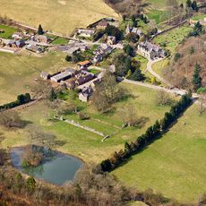
Abbaye de Cwmhir
7.8 km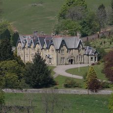
Abbey Cwmhir Hall
7.7 km
Garthmyl Hall, Berriew
12.6 km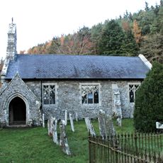
St Anno's Church
3.3 km
Pegwn Mawr
8.2 km
Tinboeth Castle
2.4 km
Cilthriew, Kerry
12.6 km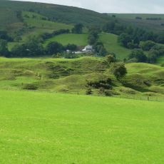
Bryn Amlwg Castle
9.8 km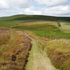
Beacon Hill
7.9 km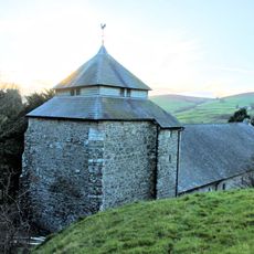
St Cynllo's Church
4.5 km
Sychnant Presbyterian Church and vestry
12.3 km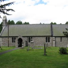
Church of St Mary
11.4 km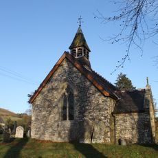
Church of St David
9.1 km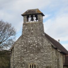
Church Of Michael & All Angels
9.9 km
Llandinam English Presbyterian Church
12.8 km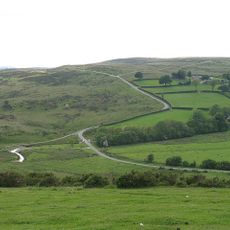
Coxhead Bank Common
9.5 km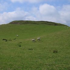
Castell y Blaidd
3.4 km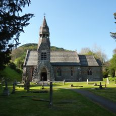
St Mary's Church
7.7 km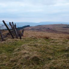
Crugyn Llwyd
7.6 km
Castell y Garn
8.8 km
Llaithddu Baptist Chapel
3.7 km
Rhos-crug
7.7 km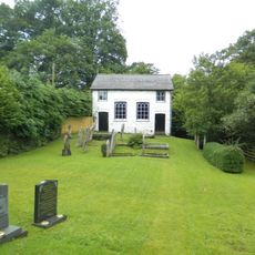
Carmel United Reformed Church
11.9 km
Gors Lydan
3 km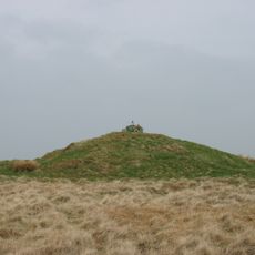
Domen-ddu
8.1 km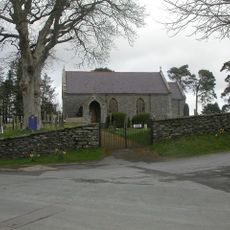
St Garmon's Church
11.9 km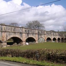
Carmel Aqueduct
11.9 km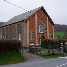
Nantgwyn English Baptist Church
11.9 kmAvis
Vous avez visité ce lieu ? Touchez les étoiles pour le noter et partager votre expérience ou vos photos avec la communauté ! Essayez maintenant ! Vous pouvez annuler à tout moment.
Trouvez des trésors cachés à chaque coin de rue !
Des petits cafés pittoresques aux points de vue planqués, fuyez la foule et dénichez les lieux qui vous ressemblent vraiment. Notre app vous facilite la vie : recherche vocale, filtres malins, itinéraires optimisés et bons plans partagés par des voyageurs du monde entier. Téléchargez vite pour vivre l'aventure en version mobile !

Une approche inédite de la découverte touristique❞
— Le Figaro
Tous les lieux qui valent la peine d'être explorés❞
— France Info
Une excursion sur mesure en quelques clics❞
— 20 Minutes