
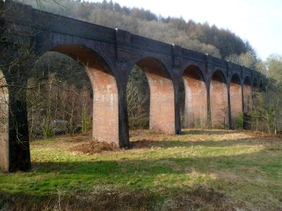
Pontrhydyfen Viaduct, Grade II listed building in Neath Port Talbot County Borough. Long viaduct spanning the Afan valley where the river curves round towards the S, and the road which leads from Cwmavon to Pontrhydyfen
Emplacement : Cwmavon
Altitude : 56,8 m
Coordonnées GPS : 51.63297,-3.74543
Dernière mise à jour : 2 avril 2025 à 10:34
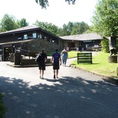
South Wales Miners' Museum
2.9 km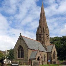
St Catharine's Church
4.4 km
Mynydd-y-Gaer
2.7 km
Buarth-y-Gaer
2.8 km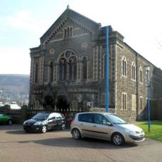
Ebenezer Welsh Baptist Chapel
4.8 km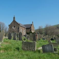
Holy Cross Church
4.9 km
Craig Ty-Isaf
3.7 km
Mynydd Pen-rhys
1.2 km
Buarth y Gaer
2.8 km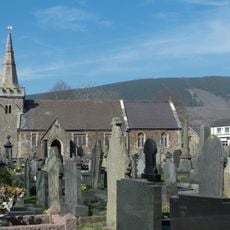
Church of St Michael
2.5 km
Old church of St Baglan
4.3 km
Bethany Chapel
4.9 km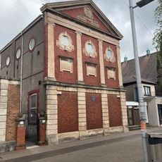
Afan Masonic Temple
4.8 km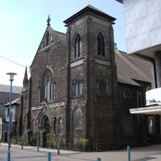
Tabernacle Chapel
4.8 km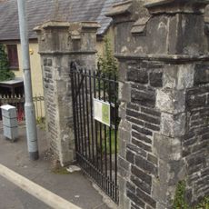
Gatepiers to St.Illtyd's Church,Llantwit Road
4.9 km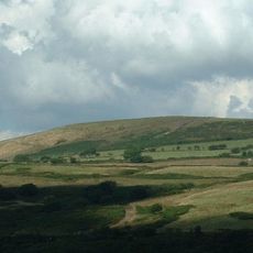
Moel y Fen
1.3 km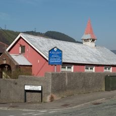
St. Peter's Church
4.6 km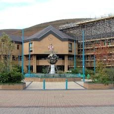
Princess Royal Theatre
4.7 km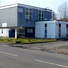
Cwmafan Library
2.1 km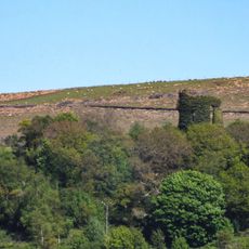
Ivy Tower
4.5 km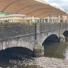
Aberavon Bridge
4.8 km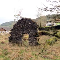
Gyfylchi Chapel of Ease
2 km
Cefn yr Argoed
3.9 km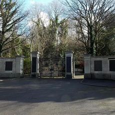
War Memorial Gates, Gnoll Avenue
4.5 km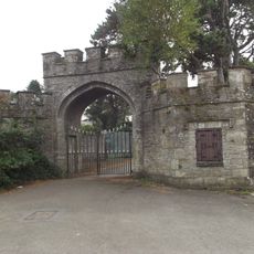
Former Gate & Lodges to Gnoll House,Gnoll Avenue
4.8 km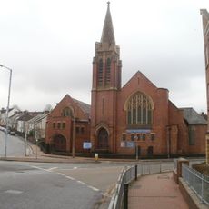
Windsor Square United Free Methodist Chapel
4.9 km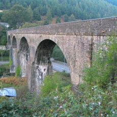
Bont Fawr Aqueduct
290 m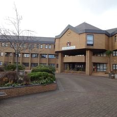
Port Talbot Civic Centre
4.7 kmAvis
Vous avez visité ce lieu ? Touchez les étoiles pour le noter et partager votre expérience ou vos photos avec la communauté ! Essayez maintenant ! Vous pouvez annuler à tout moment.
Trouvez des trésors cachés à chaque coin de rue !
Des petits cafés pittoresques aux points de vue planqués, fuyez la foule et dénichez les lieux qui vous ressemblent vraiment. Notre app vous facilite la vie : recherche vocale, filtres malins, itinéraires optimisés et bons plans partagés par des voyageurs du monde entier. Téléchargez vite pour vivre l'aventure en version mobile !

Une approche inédite de la découverte touristique❞
— Le Figaro
Tous les lieux qui valent la peine d'être explorés❞
— France Info
Une excursion sur mesure en quelques clics❞
— 20 Minutes