
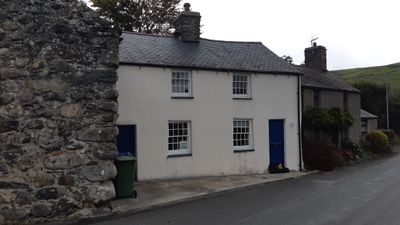
Rhine Cottage, Grade II listed building in Gwynedd. A pair of cottages, now one dwelling, standing at the E end of the village street, facing S over the bridge
Emplacement : Llanegryn
Altitude : 11,1 m
Coordonnées GPS : 52.62875,-4.06827
Dernière mise à jour : 30 avril 2025 à 00:05
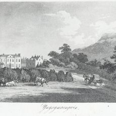
Ynysmaengwyn
3.1 km
Peniarth
1.1 km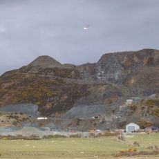
Tonfanau quarry
3.5 km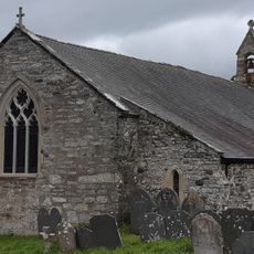
Church of St Mary and St Egryn
593 m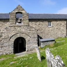
St Celynin's Church
3.5 km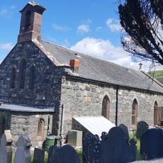
Church of St Celynin, Llwyngwril
4.1 km
Castell-y-Gaer
3.7 km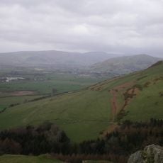
Ffridd Cocyn
2.6 km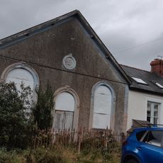
Capel Bethel, with vestry
53 m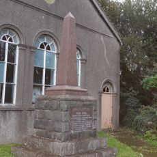
Monument to Parch. Hugh Owen
77 m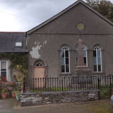
Capel Ebenezer, with vestry
71 m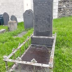
Grave of Mary Jones
2.3 km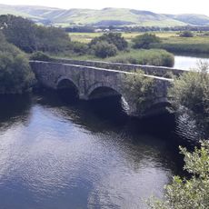
Pont Dysynni (partly in Llanegryn community)
1.6 km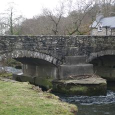
Pont y Garth (partly in Llanfihangel Community)
3.8 km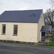
Peniel Welsh Independent Chapel
4.1 km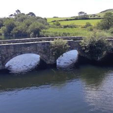
Pont Dysynni (partly in Bryn Crug community)
1.6 km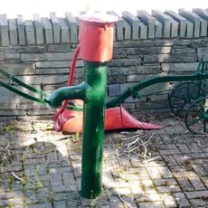
Water lift pump by Pont Fathew
2.3 km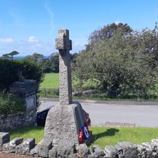
Llwyngwril War Memorial
4.1 km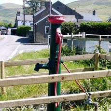
Water lift pump on road to Penowern
2.4 km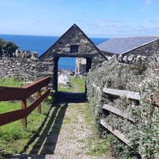
Lych gate and churchyard wall at Llangelynin church
3.4 km
Dovecote at Ynysmaengwyn
3.1 km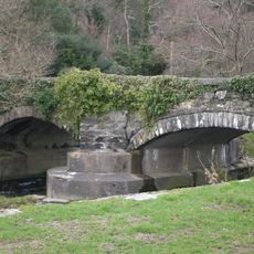
Pont y Garth (partly in Llanegryn community)
3.8 km
Mile Marker
2.3 km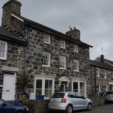
Bodegryn
52 m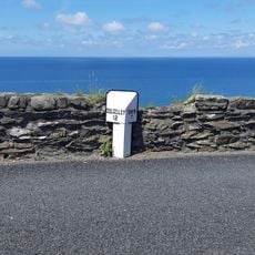
Milepost on A493
3.7 km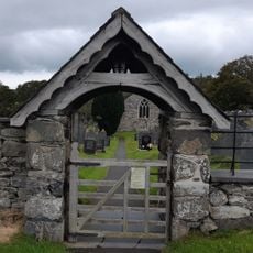
Lychgate at the Church of St Mary and St Egryn
546 m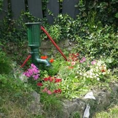
Water lift pump at Pen Parc
2.8 km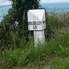
Milepost on A493
3.3 kmAvis
Vous avez visité ce lieu ? Touchez les étoiles pour le noter et partager votre expérience ou vos photos avec la communauté ! Essayez maintenant ! Vous pouvez annuler à tout moment.
Trouvez des trésors cachés à chaque coin de rue !
Des petits cafés pittoresques aux points de vue planqués, fuyez la foule et dénichez les lieux qui vous ressemblent vraiment. Notre app vous facilite la vie : recherche vocale, filtres malins, itinéraires optimisés et bons plans partagés par des voyageurs du monde entier. Téléchargez vite pour vivre l'aventure en version mobile !

Une approche inédite de la découverte touristique❞
— Le Figaro
Tous les lieux qui valent la peine d'être explorés❞
— France Info
Une excursion sur mesure en quelques clics❞
— 20 Minutes