
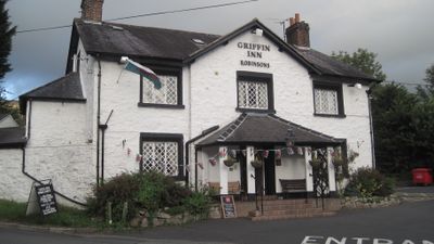
The Griffin Public House, Grade II listed building in Denbighshire. Prominently-sited on a bend of the road in the centre of the village group, opposite the church
Emplacement : Llanbedr-Dyffryn-Clwyd
Altitude : 89,9 m
Adresse : Mold Road, Llanbedr Dyffryn, Ruthin, LL15 1UP
Coordonnées GPS : 53.12411,-3.28033
Dernière mise à jour : 19 septembre 2025 à 17:01

Foel Fenlli
2.2 km
St Peter's Church
2.3 km
Seven Eyes
2.3 km
Ruthin Craft Centre
2 km
Rose Cottage, Ruthin
1.9 km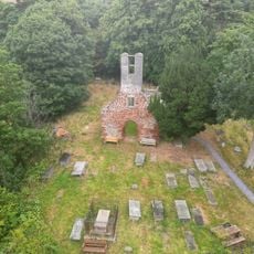
Old St. Peter's Church, Llanbedr Dyffryn Clwyd
516 m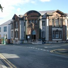
County Hall, Ruthin
2.2 km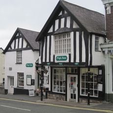
Siop Nain
2.3 km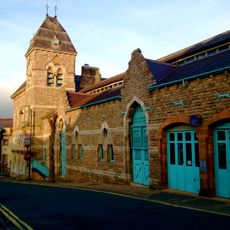
Ruthin Town Hall
2 km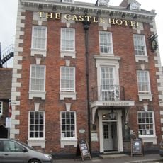
Castle Hotel, Ruthin
2.3 km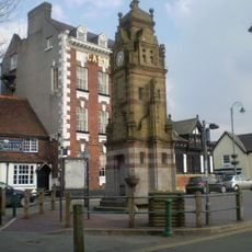
Peers Memorial
2.3 km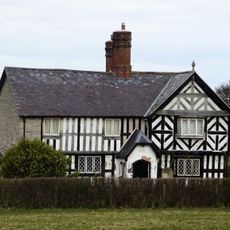
Caer Afallen
1.7 km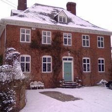
The Old Rectory, Llanbedr
636 m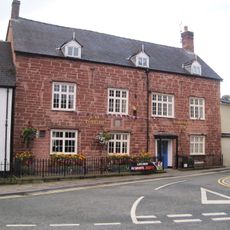
Plas Coch, Ruthin
2.1 km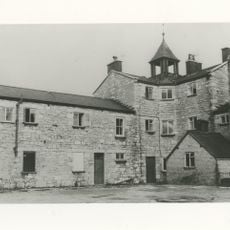
Ruthin Union Workhouse
2 km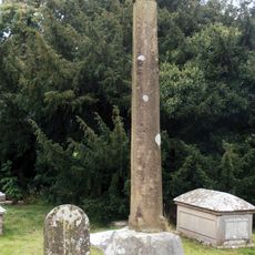
Churchyard Cross Shaft At St Meugan's Church
1.6 km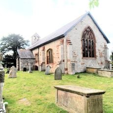
St Meugan's Church
1.6 km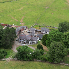
Cefn Coch
2.2 km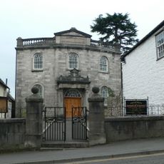
Pen-Dref Welsh Independent Chapel
2.2 km
Sundial in the Churchyard of St Mary's Parish Church
1.5 km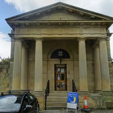
Ruthin Library
2.3 km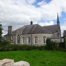
Tabernacl Chapel
2.1 km
Ruthin War Memorial
2.2 km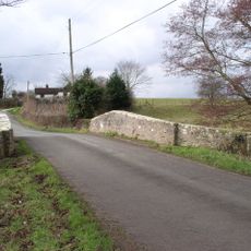
Pont-y-Wern
1.5 km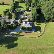
Bathafarn Hall
1.5 km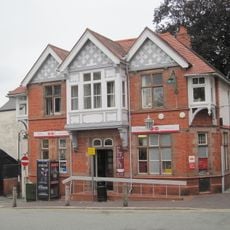
Post Office
2.3 km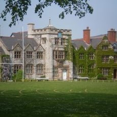
Ruthin School building
1.5 km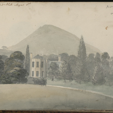
Llanbedr hall
693 mVous avez visité ce lieu ? Touchez les étoiles pour le noter et partager votre expérience ou vos photos avec la communauté ! Essayez maintenant ! Vous pouvez annuler à tout moment.
Trouvez des trésors cachés à chaque coin de rue !
Des petits cafés pittoresques aux points de vue planqués, fuyez la foule et dénichez les lieux qui vous ressemblent vraiment. Notre app vous facilite la vie : recherche vocale, filtres malins, itinéraires optimisés et bons plans partagés par des voyageurs du monde entier. Téléchargez vite pour vivre l'aventure en version mobile !

Une approche inédite de la découverte touristique❞
— Le Figaro
Tous les lieux qui valent la peine d'être explorés❞
— France Info
Une excursion sur mesure en quelques clics❞
— 20 Minutes