
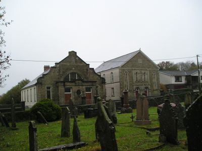
Capel Hendre and Vestry, grade II listed building in Carmarthenshire. Prominently sited at the south east of the village of Capel Hendre, at south of the road and at the corner of Cooper's Road. Large graveyard opposite. Stone-walled enclosure with iron gates and railings
Emplacement : Llandybie
Altitude : 103 m
Coordonnées GPS : 51.78200,-4.03915
Dernière mise à jour : 10 mars 2025 à 19:25
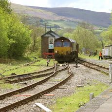
Amman Valley Railway
2.9 km
Penlle'r Castell
7.3 km
Mynydd y Betws
7.2 km
All Saints Church, Ammanford
3.8 km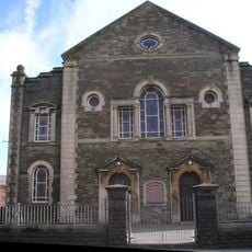
Bethany Chapel
3.5 km
Cernydd Carmel
4.9 km
Gellimanwydd Chapel
3.9 km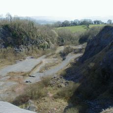
Pentregwenlais quarry
5.5 km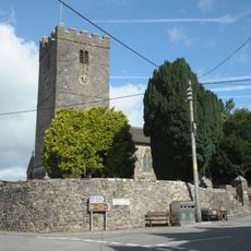
St Tybie's Church, Llandybie
4.9 km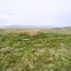
Pentwyn Mawr
5.8 km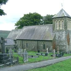
Church of Saint Edi
4.6 km
The Red Lion
4.9 km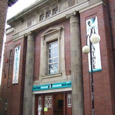
Miners' Welfare Hall
3.6 km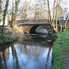
Llandybie Bridge
4.9 km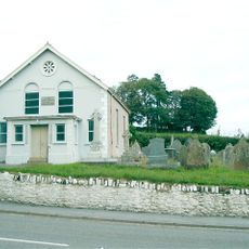
Sardis Welsh Baptist Church
5.3 km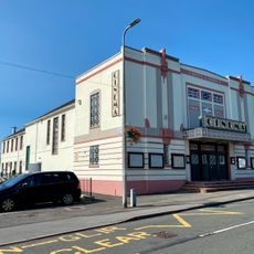
Cross Hands Public Hall & Cinema
4 km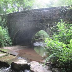
Bont Newydd
7.2 km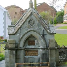
Drinking Fountain
6.1 km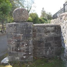
Stone Spheres at Entrance to Pl?s Llandybie
4.9 km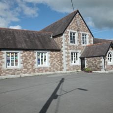
Llandybie National School
4.8 km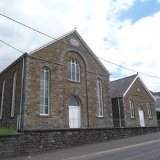
Caersalem Chapel
1.3 km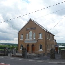
Bethesda Welsh Baptist Church
1.1 km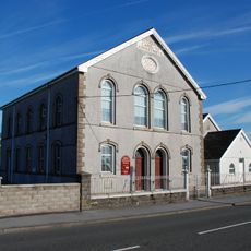
Bethania Welsh Independent Chapel
4.6 km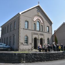
Bethesda
5.7 km
Gwynfryn Welsh Independent Chapel
3.6 km
2 High St with John's Tobacconists
4.7 km
Calfaria Welsh Baptist Church
2.5 km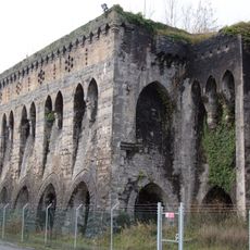
Cil-yr-ychen Lime Kilns
6 kmAvis
Vous avez visité ce lieu ? Touchez les étoiles pour le noter et partager votre expérience ou vos photos avec la communauté ! Essayez maintenant ! Vous pouvez annuler à tout moment.
Trouvez des trésors cachés à chaque coin de rue !
Des petits cafés pittoresques aux points de vue planqués, fuyez la foule et dénichez les lieux qui vous ressemblent vraiment. Notre app vous facilite la vie : recherche vocale, filtres malins, itinéraires optimisés et bons plans partagés par des voyageurs du monde entier. Téléchargez vite pour vivre l'aventure en version mobile !

Une approche inédite de la découverte touristique❞
— Le Figaro
Tous les lieux qui valent la peine d'être explorés❞
— France Info
Une excursion sur mesure en quelques clics❞
— 20 Minutes