
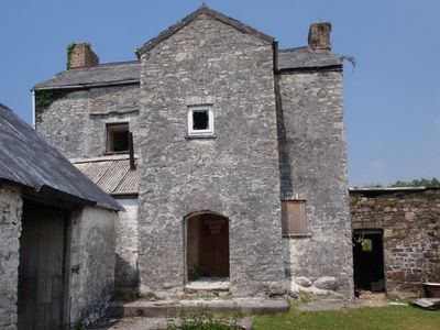
Ty-llwyd Farmhouse, Grade II listed building in Cwmamman. Farmstead in open countryside on the north side of the Amman valley, approached along a rough track some 400m long, on the N side of Folland Road
Emplacement : Cwmamman
Altitude : 116,9 m
Coordonnées GPS : 51.81008,-3.91831
Dernière mise à jour : 6 mars 2025 à 12:35
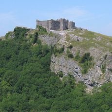
Château de Carreg Cennen
5.1 km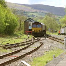
Amman Valley Railway
6.4 km
Penlle'r Castell
4.7 km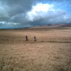
Mynydd y Betws
4.9 km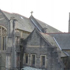
All Saints Church, Ammanford
5.1 km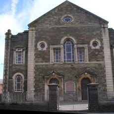
Bethany Chapel
5.4 km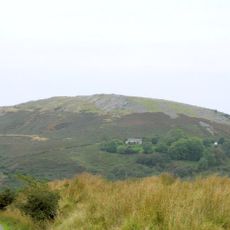
Carreg Dwfn
3.9 km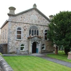
Gellimanwydd Chapel
5 km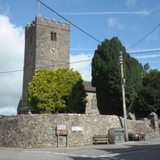
St Tybie's Church, Llandybie
6.2 km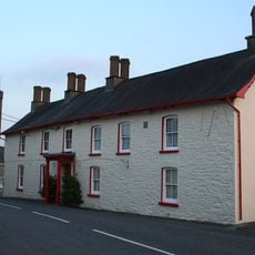
The Red Lion
6.3 km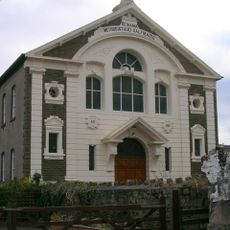
Bethania Welsh Calvinistic Methodist Chapel
660 m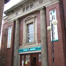
Miners' Welfare Hall
5.3 km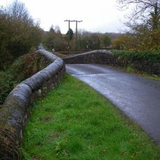
Pont Cennen
6.6 km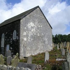
Old Bethel Chapel
406 m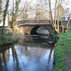
Llandybie Bridge
6.1 km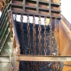
Craig-yr-Odyn Quarry
4.3 km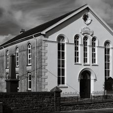
Siloam Baptist Chapel
3.1 km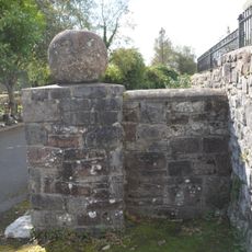
Stone Spheres at Entrance to Pl?s Llandybie
6.1 km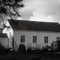
Bethania Welsh Independent Sunday School
5.1 km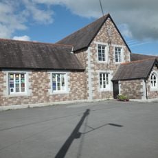
Llandybie National School
6.2 km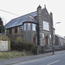
Front wall, railings and gates to Capel Y Tabernacl
4.2 km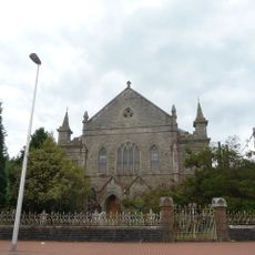
Bryn Seion Welsh Independent Chapel
624 m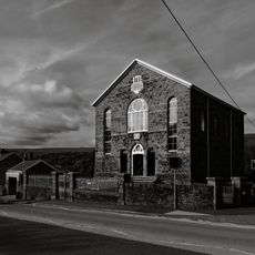
Bethel Newydd Welsh Independent Chapel
733 m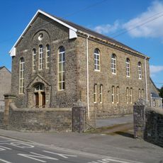
Carmel Welsh Independent Chapel
3.3 km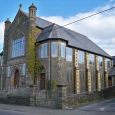
Capel y Tabernacl
4.2 km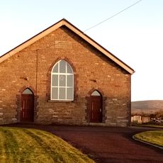
Hermon Independent Chapel
2.9 km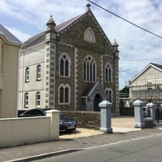
Gwynfryn Welsh Independent Chapel
5.3 km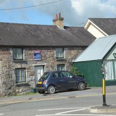
2 High St with John's Tobacconists
6.2 kmVous avez visité ce lieu ? Touchez les étoiles pour le noter et partager votre expérience ou vos photos avec la communauté ! Essayez maintenant ! Vous pouvez annuler à tout moment.
Trouvez des trésors cachés à chaque coin de rue !
Des petits cafés pittoresques aux points de vue planqués, fuyez la foule et dénichez les lieux qui vous ressemblent vraiment. Notre app vous facilite la vie : recherche vocale, filtres malins, itinéraires optimisés et bons plans partagés par des voyageurs du monde entier. Téléchargez vite pour vivre l'aventure en version mobile !

Une approche inédite de la découverte touristique❞
— Le Figaro
Tous les lieux qui valent la peine d'être explorés❞
— France Info
Une excursion sur mesure en quelques clics❞
— 20 Minutes