
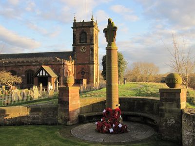
War Memorial, Grade II listed building in Wrexham County Borough. Situated near the end of High Street adjaoining the W end of the churchyard wall
Emplacement : Bangor-on-Dee
Créateur : Herbert Tyson Smith
Altitude : 15,4 m
Coordonnées GPS : 53.00275,-2.91298
Dernière mise à jour : 21 mars 2025 à 11:24
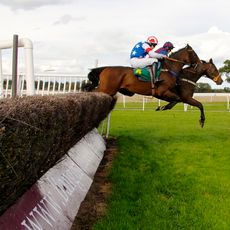
Bangor-on-Dee racecourse
1.3 km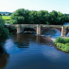
Bangor Bridge
45 m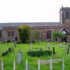
St Dunawd's Church
61 m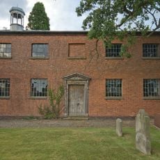
St John's Church, Threapwood
5.2 km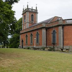
St Deiniol's Church
3.2 km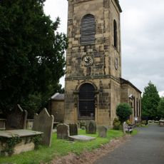
Church Of SS Marcella and Deiniol, Marchwiel
3.8 km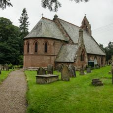
Church of St Hilary
5.2 km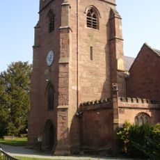
St Mary's Church
3.9 km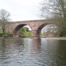
Overton Bridge
4.4 km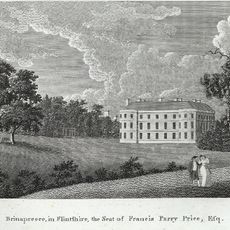
Bryn y Pys Hall
3.4 km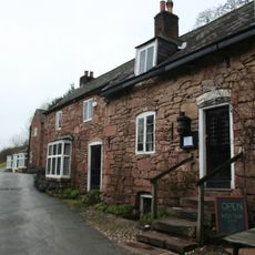
The Boat
5.3 km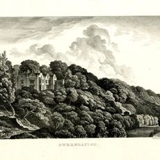
Gwernheylod
2.8 km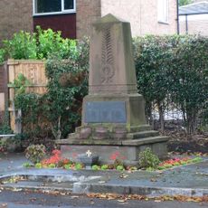
Overton-on-Dee War Memorial, High Street (W Side0
3.9 km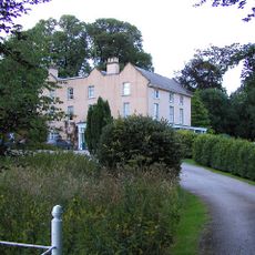
Llwyn Onn Hall
4.9 km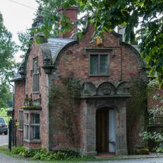
Emral Hall Lodge
2.7 km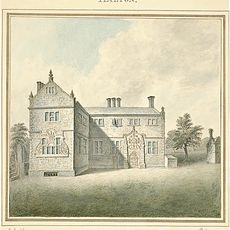
Halghton Hall
4.1 km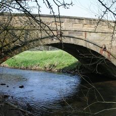
Pickhill Bridge
2.9 km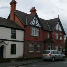
Overton Library
4 km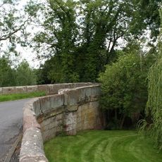
Sarn Bridge
5.2 km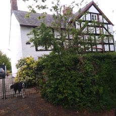
Pursa Farmhouse
5.7 km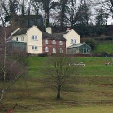
Plas Pen-Y-Bryn,Eyton Hall Lane
5.7 km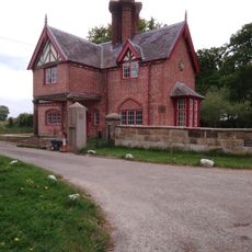
Broughton Hall Lodge
4.3 km
Pandy Holding
4.2 km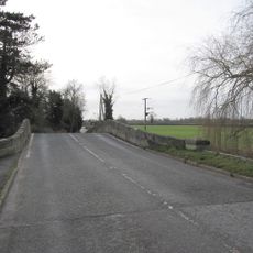
Worthenbury Bridge
3.1 km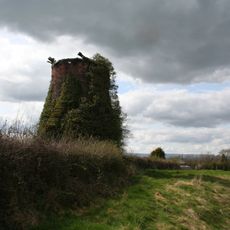
Windmill 130 yards east Of Mill House
5.4 km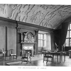
Emral Hall
3.4 km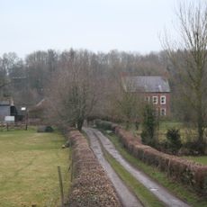
The Groves (also Known As Grove Farm), Erbistock
4.5 km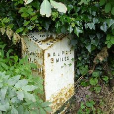
Milepost, W of The Bank
5.5 kmVous avez visité ce lieu ? Touchez les étoiles pour le noter et partager votre expérience ou vos photos avec la communauté ! Essayez maintenant ! Vous pouvez annuler à tout moment.
Trouvez des trésors cachés à chaque coin de rue !
Des petits cafés pittoresques aux points de vue planqués, fuyez la foule et dénichez les lieux qui vous ressemblent vraiment. Notre app vous facilite la vie : recherche vocale, filtres malins, itinéraires optimisés et bons plans partagés par des voyageurs du monde entier. Téléchargez vite pour vivre l'aventure en version mobile !

Une approche inédite de la découverte touristique❞
— Le Figaro
Tous les lieux qui valent la peine d'être explorés❞
— France Info
Une excursion sur mesure en quelques clics❞
— 20 Minutes