
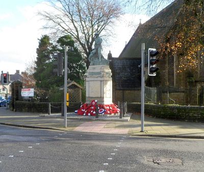
Maesteg War Memorial, Grade II listed building in Maesteg. Located in the footpath in front of St David's Church and on the corner of Talbot Street and High Street at the centre of Maesteg
Emplacement : Maesteg
Création : 1926
Créateur : Louis Frederick Roslyn
Altitude : 129,4 m
Coordonnées GPS : 51.60955,-3.65746
Dernière mise à jour : 7 mars 2025 à 05:32
Llangynwyd Castle
2.7 km
South Wales Miners' Museum
4.9 km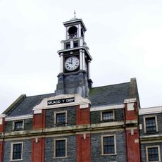
Town Hall
93 m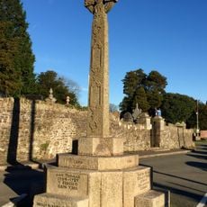
The Hopcyn Cross
2.6 km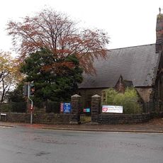
Church of St David, and surrounding churchyard railed wall.
20 m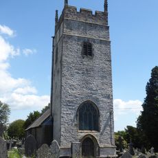
St Cynwyd's Church
2.6 km
Siloh Independent Chapel
1.1 km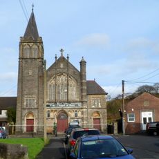
Zoar Independent Chapel
213 m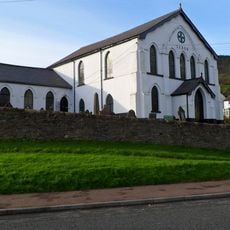
Saron Welsh Independent Chapel
836 m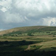
Moel y Fen
5.5 km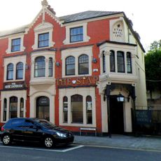
The Star Public House
237 m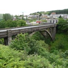
Cymmer Bridge
4.9 km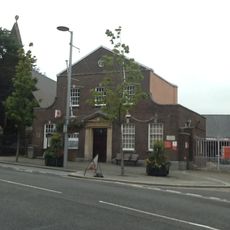
Post Office
25 m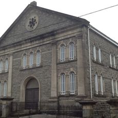
Salem Baptist Chapel
1.4 km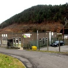
Cymmer Afan Library
4.8 km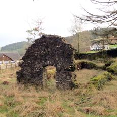
Gyfylchi Chapel of Ease
6.1 km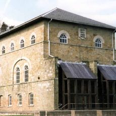
Maesteg Sports Centre
487 m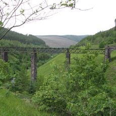
Cymmer Viaduct
4.8 km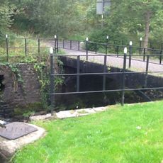
Iron bridge over River Llynfi
259 m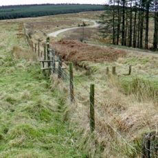
Caer Blaen-y-cwm, Margam
3.9 km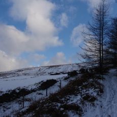
Cefn yr Argoed
3.4 km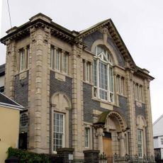
Tabor Welsh Calvinistic Methodist Chapel
337 m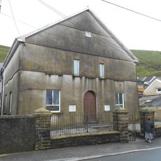
Tabor Independent Chapel
6.2 km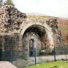
Blast Furnace at Maesteg Sports Centre
502 m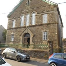
Canaan Independent Chapel
310 m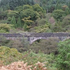
Croeserw Viaduct
4.8 km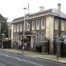
Maesteg Council Offices, With Flanking Walls And Piers.
121 m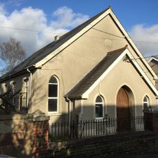
Ainon Welsh Baptist Chapel
2.9 kmVous avez visité ce lieu ? Touchez les étoiles pour le noter et partager votre expérience ou vos photos avec la communauté ! Essayez maintenant ! Vous pouvez annuler à tout moment.
Trouvez des trésors cachés à chaque coin de rue !
Des petits cafés pittoresques aux points de vue planqués, fuyez la foule et dénichez les lieux qui vous ressemblent vraiment. Notre app vous facilite la vie : recherche vocale, filtres malins, itinéraires optimisés et bons plans partagés par des voyageurs du monde entier. Téléchargez vite pour vivre l'aventure en version mobile !

Une approche inédite de la découverte touristique❞
— Le Figaro
Tous les lieux qui valent la peine d'être explorés❞
— France Info
Une excursion sur mesure en quelques clics❞
— 20 Minutes