
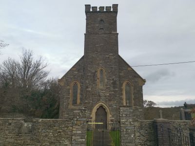
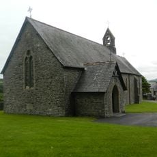
Church of St Deiniol, grade II listed building in Ceredigion, situated prominently above Llanddeiniol village, some 600m E of A 487, on W side of Carrog valley
Emplacement : Llanrhystud
Altitude : 105,2 m
Coordonnées GPS : 52.32841,-4.11386
Dernière mise à jour : 3 mars 2025 à 19:25
Church of St Ursula
3.9 km
Caer Argoed
5.6 km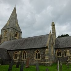
Church of St Rhystyd
3.4 km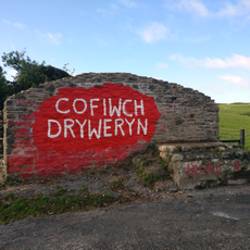
Cofiwch Dryweryn mural
1.8 km
Capel Blaenplwyf
3.7 km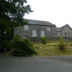
Capel Tabor
3.9 km
Rhiw-Bwys Chapel
3.2 km
Bridge to NE of Aberffrwd
69 m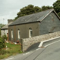
Pant-Glas Calvinistic Methodist Chapel/Sunday School
5.1 km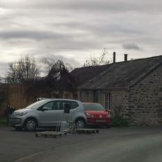
Felin Ganol
2.9 km
Cwmcoedwig Hall
6.3 km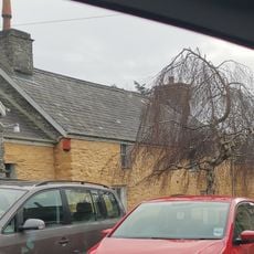
Mill House
2.9 km
No 3 Craiglas Lime Kiln
5.6 km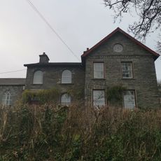
Aberffrwd
52 m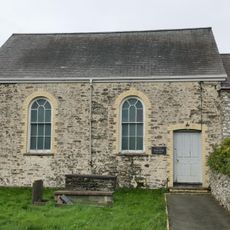
Salem Baptist Chapel
3.4 km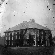
Mabws Hall
3.6 km
Gates and railings to Capel Blaenplwyf
3.7 km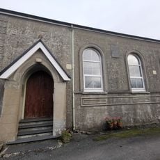
Capel Elim
180 m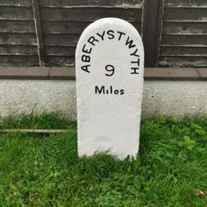
Milestone on A487
3.6 km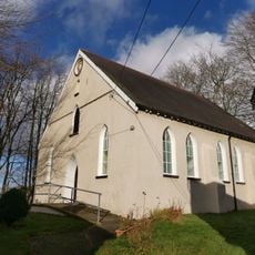
Moriah Chapel
6.2 km
Pen-Rhiw Chapel
5.4 km
Capel Marian Calvinistic Methodist Sunday School
6.3 km
Church Hall
53 m
Walled Enclosure at Craiglas Lime Kilns
5.7 km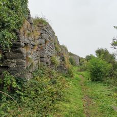
No 4 Craiglas Lime Kiln
5.6 km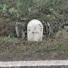
Milestone on A487
719 m
Church Hall
3.5 km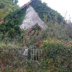
Blaenwyre Sunday School
2.8 kmVous avez visité ce lieu ? Touchez les étoiles pour le noter et partager votre expérience ou vos photos avec la communauté ! Essayez maintenant ! Vous pouvez annuler à tout moment.
Trouvez des trésors cachés à chaque coin de rue !
Des petits cafés pittoresques aux points de vue planqués, fuyez la foule et dénichez les lieux qui vous ressemblent vraiment. Notre app vous facilite la vie : recherche vocale, filtres malins, itinéraires optimisés et bons plans partagés par des voyageurs du monde entier. Téléchargez vite pour vivre l'aventure en version mobile !

Une approche inédite de la découverte touristique❞
— Le Figaro
Tous les lieux qui valent la peine d'être explorés❞
— France Info
Une excursion sur mesure en quelques clics❞
— 20 Minutes