
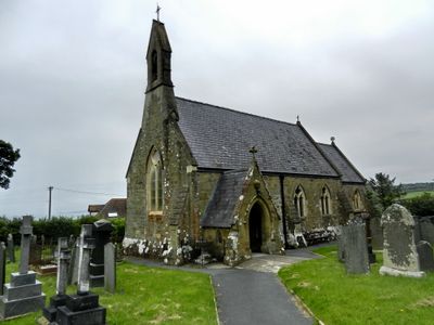
St Cynwyl's Church, grade II listed building in Ceredigion, situated on B4333, S of the centre of Aberporth
Emplacement : Aberporth
Altitude : 55,2 m
Coordonnées GPS : 52.13041,-4.54930
Dernière mise à jour : 14 mars 2025 à 12:33
Church of the Holy Cross
6.2 km
St Michael's Church
3.9 km
St Michael's Church, Tremain
3.2 km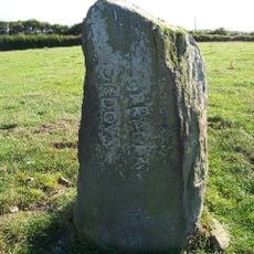
Maen Corbalengus
3.3 km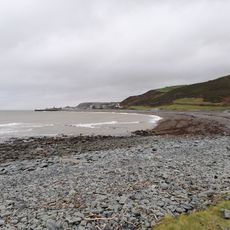
Allt Wen a Traeth Tanybwlch
3 km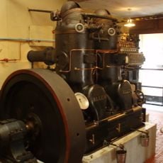
Internal Fire – Museum of Power
4.1 km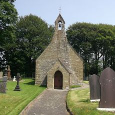
Church of St John
5.7 km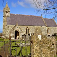
St David's Church
2.4 km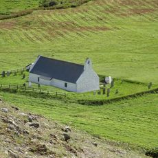
The Churchyard of The Church of The Holy Cross, Mwnt
6.2 km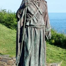
St Carannog's statue, Llangrannog
6.2 km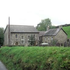
Penmorfa Chapel
5 km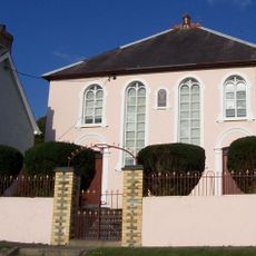
Bryn-Mair Welsh Independent Chapel
1.4 km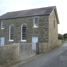
Blaen-y-Cefn Chapel
4.9 km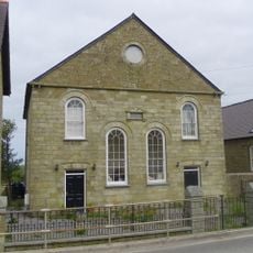
Tan-y-Groes Chapel
3.4 km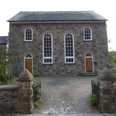
Bancyfelin Chapel
6.6 km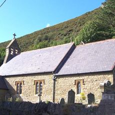
Church of St Carannog
6.7 km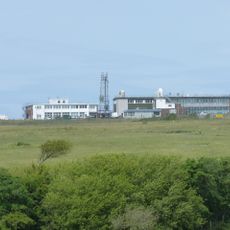
QinetiQ, Aberporth
1.4 km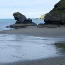
Llangrannog Beach
6.3 km
St John's Church, Sarnau
5.9 km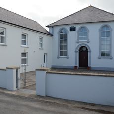
Ffynnonbedr Welsh Independent Chapel
3.1 km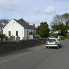
Blaen-Wenen Baptist Chapel
4.6 km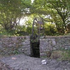
Llwyn-Ysgaw Waterwheel, Llwyn-Ysgaw
3.8 km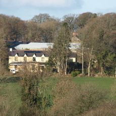
Tŷ Llwyd
4.1 km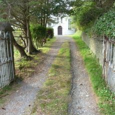
Bodwenog Independent Chapel
6.4 km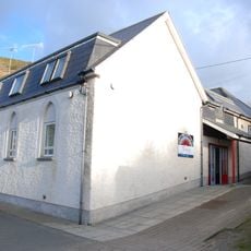
Tre-Saith Chapel
2.4 km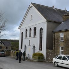
Glynarthen Welsh Independent Chapel
6 km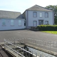
Penyparc Welsh Baptist Church
5.4 km
Kingdom Hall of Jehovah's Witnesses
4.2 kmVous avez visité ce lieu ? Touchez les étoiles pour le noter et partager votre expérience ou vos photos avec la communauté ! Essayez maintenant ! Vous pouvez annuler à tout moment.
Trouvez des trésors cachés à chaque coin de rue !
Des petits cafés pittoresques aux points de vue planqués, fuyez la foule et dénichez les lieux qui vous ressemblent vraiment. Notre app vous facilite la vie : recherche vocale, filtres malins, itinéraires optimisés et bons plans partagés par des voyageurs du monde entier. Téléchargez vite pour vivre l'aventure en version mobile !

Une approche inédite de la découverte touristique❞
— Le Figaro
Tous les lieux qui valent la peine d'être explorés❞
— France Info
Une excursion sur mesure en quelques clics❞
— 20 Minutes