
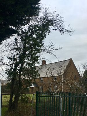
Farmhouse at Bridge Farm, Grade II listed building in City and County of Cardiff. Fronting the road, adjacent to Llanedern Bridge over Rhymney River
Emplacement : Old St Mellons
Altitude : 20,2 m
Coordonnées GPS : 51.53410,-3.12049
Dernière mise à jour : 13 avril 2025 à 16:31
Llanrumney Hall
1.5 km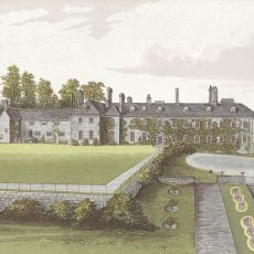
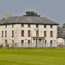
Cefn Mably Hospital
2.3 km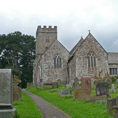
St Mellon's Church
988 m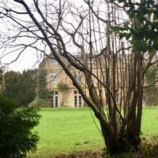
Faendre Hall
2 km
Caer Castell
2 km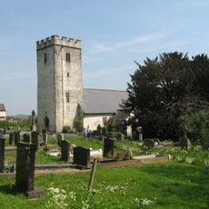
St Edeyrn's Church
435 m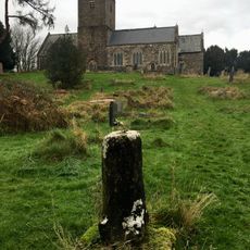
St Mellons Churchyard Cross
1 km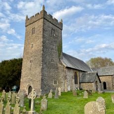
Parish Church Of St Michael
2.9 km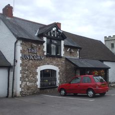
The Unicorn
405 m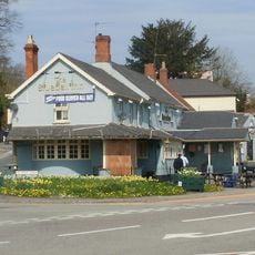
The Blue Bell Inn
1.1 km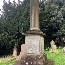
Memorial to Joseph Benjamin Hemingway in St Mellons churchyard
1 km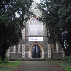
Bethania
1.4 km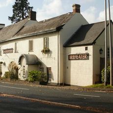
The Coach and Horses PH
3.2 km
Pill du Farm
2.9 km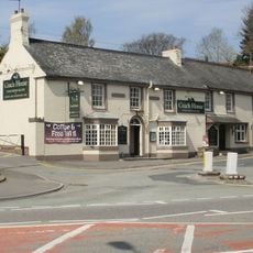
Coach House
1.1 km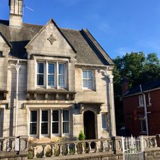
Cerrig Llwyd
3.3 km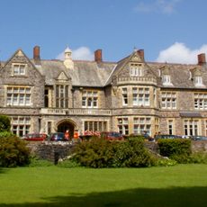
St Johns College
945 m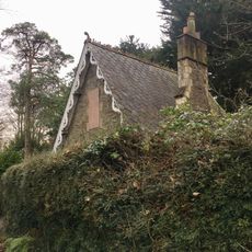
Lodge at Faendre Hall
2.1 km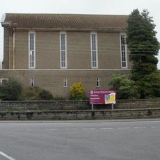
Rhumney Methodist Chapel
3.1 km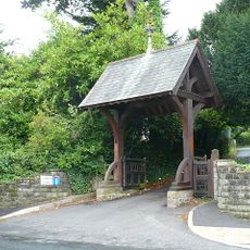
Lychgate to St Mellons Church
1 km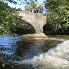
Cefn Mably Bridge
2.2 km
Carn Ingli
3.3 km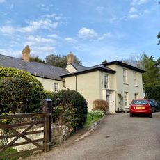
The Old Rectory
2.9 km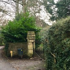
Entrance Gateway at Faendre Hall
2.1 km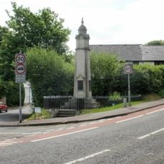
St Mellons War Memorial
1.2 km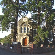
Caersalem Baptist Chapel
847 m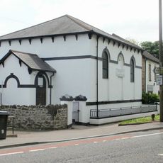
Kingdom Hall Welsh Congregational Chapel
1.2 km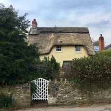
Glan-y-nant
2.8 kmAvis
Vous avez visité ce lieu ? Touchez les étoiles pour le noter et partager votre expérience ou vos photos avec la communauté ! Essayez maintenant ! Vous pouvez annuler à tout moment.
Trouvez des trésors cachés à chaque coin de rue !
Des petits cafés pittoresques aux points de vue planqués, fuyez la foule et dénichez les lieux qui vous ressemblent vraiment. Notre app vous facilite la vie : recherche vocale, filtres malins, itinéraires optimisés et bons plans partagés par des voyageurs du monde entier. Téléchargez vite pour vivre l'aventure en version mobile !

Une approche inédite de la découverte touristique❞
— Le Figaro
Tous les lieux qui valent la peine d'être explorés❞
— France Info
Une excursion sur mesure en quelques clics❞
— 20 Minutes