
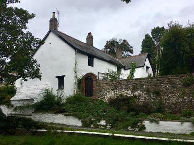
Ty-Mawr, Grade II listed building in City and County of Cardiff. On the western edge of the Community about 1000m west of the Church of St. Mary
Emplacement : Whitchurch
Altitude : 27,1 m
Coordonnées GPS : 51.51115,-3.23590
Dernière mise à jour : 23 avril 2025 à 12:54

Broadcasting House
1.6 km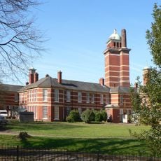
Whitchurch Hospital
699 m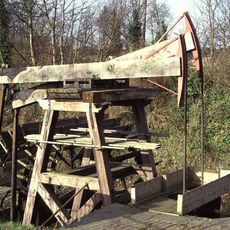
Melingriffith Water Pump
176 m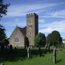
St Mary's Church
1.1 km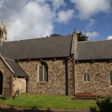
Church of St. John the Baptist
905 m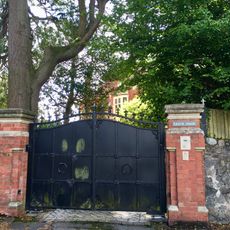
Radyr Chain
1.2 km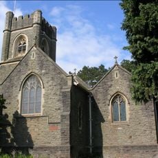
Church of Christ Church
1.1 km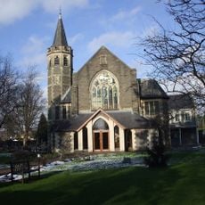
Ararat Baptist Church
1.7 km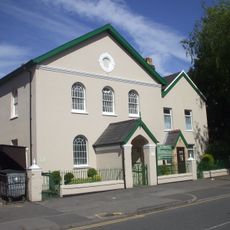
Tabernacle Chapel
1.3 km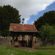
Churchyard Walls of Church of St. John the Baptist
922 m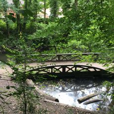
Towpath Bridge of Glamorganshire Canal about 50m north of junction with Forest Farm Road
575 m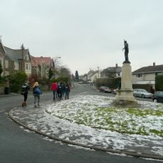
Radyr War Memorial
1.1 km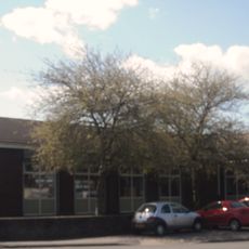
Llandaff North Library
1.4 km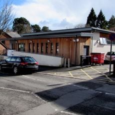
Radyr Library
1.7 km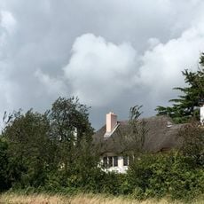
The Thatch
1.1 km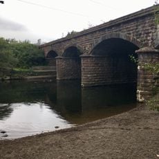
Afon Taff Viaduct
266 m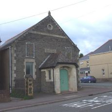
Gospel Hall
1.2 km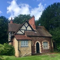
Former North Lodge to Rookwood House
1.6 km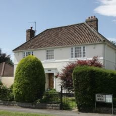
Hafod Lwyd
1.7 km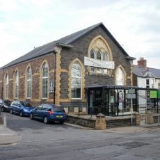
Bethel Baptist Chapel
1.1 km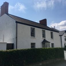
Bridge House
1.3 km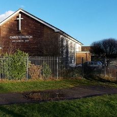
Fairwater Christ Church
1.7 km
Nos. 52-58 Pen-y-dre (evens)
1.8 km
Nos. 65-71 Pen-y-dre (odds)
1.8 km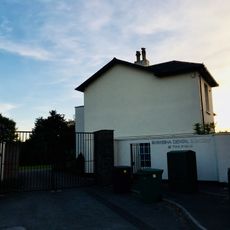
The Pines
1.3 km
The Laurels
1.1 km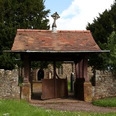
Lychgate of Church of St. John the Baptist
929 m
Christchurch Chapel
822 mVous avez visité ce lieu ? Touchez les étoiles pour le noter et partager votre expérience ou vos photos avec la communauté ! Essayez maintenant ! Vous pouvez annuler à tout moment.
Trouvez des trésors cachés à chaque coin de rue !
Des petits cafés pittoresques aux points de vue planqués, fuyez la foule et dénichez les lieux qui vous ressemblent vraiment. Notre app vous facilite la vie : recherche vocale, filtres malins, itinéraires optimisés et bons plans partagés par des voyageurs du monde entier. Téléchargez vite pour vivre l'aventure en version mobile !

Une approche inédite de la découverte touristique❞
— Le Figaro
Tous les lieux qui valent la peine d'être explorés❞
— France Info
Une excursion sur mesure en quelques clics❞
— 20 Minutes