
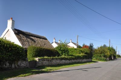
Myrtle Cottage, including attached outhouses, Grade II listed building in St Athan. To the west of West Orchard Farmhouse and on the other side of the road
Emplacement : St Athan
Altitude : 40,3 m
Coordonnées GPS : 51.40245,-3.42149
Dernière mise à jour : 25 mai 2025 à 19:48
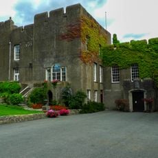
Fonmon Castle
3.5 km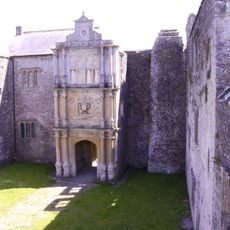
Old Beaupre Castle
4 km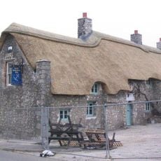
The Blue Anchor Inn
2.6 km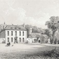
Gileston Manor
1.1 km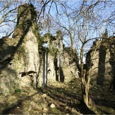
East Orchard Castle
1.7 km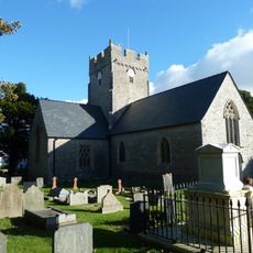
St Tathan's Church
484 m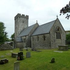
Church Of St Cattwg
3.5 km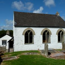
Bethesda Independent Chapel
2.3 km
Parish Church of St Mary, St Mary Church
3.7 km
Church Of St Giles
1.1 km
Boverton House with attached Stable Range
2.9 km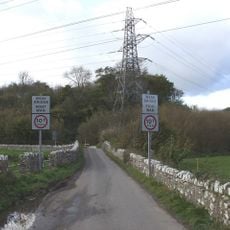
Kenson Bridge
4 km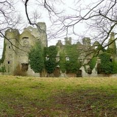
Boverton Place
3 km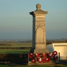
St Athan, Flemingston and Eglwys Brewis War Memorial
701 m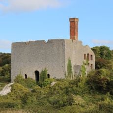
Aberthaw Lime and Cement Works
3.2 km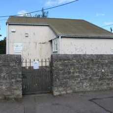
St Athan Library
523 m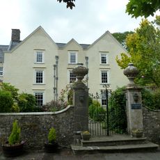
Llanmaes House
3.4 km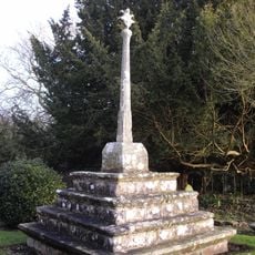
Cross in Churchyard of Church of St Giles
1.1 km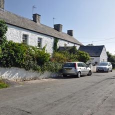
West Orchard Farmhouse
51 m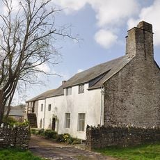
Old Beaupre Farmhouse
4.1 km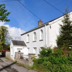
Saint Athan's Methodist Chapel
627 m
Quaintways, with attached garden wall
4.4 km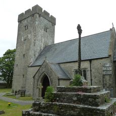
Cross in Churchyard of Church of St Cattwg
3.5 km
The Causeway
3 km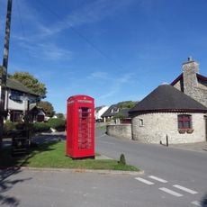
Telephone Call-box at road junction in centre of Gileston village
1.2 km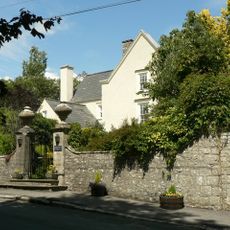
Walls, Gatepiers And Gates Of Llanmaes House
3.4 km
Howe MiIll
4.4 km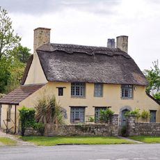
Rose Cottage
1.2 kmAvis
Vous avez visité ce lieu ? Touchez les étoiles pour le noter et partager votre expérience ou vos photos avec la communauté ! Essayez maintenant ! Vous pouvez annuler à tout moment.
Trouvez des trésors cachés à chaque coin de rue !
Des petits cafés pittoresques aux points de vue planqués, fuyez la foule et dénichez les lieux qui vous ressemblent vraiment. Notre app vous facilite la vie : recherche vocale, filtres malins, itinéraires optimisés et bons plans partagés par des voyageurs du monde entier. Téléchargez vite pour vivre l'aventure en version mobile !

Une approche inédite de la découverte touristique❞
— Le Figaro
Tous les lieux qui valent la peine d'être explorés❞
— France Info
Une excursion sur mesure en quelques clics❞
— 20 Minutes