
Elim Capel Bach, Baptist chapel in St Davids
Emplacement : Llanrhian
Altitude : 54,3 m
Coordonnées GPS : 51.94891,-5.14728
Dernière mise à jour : 4 mars 2025 à 22:31

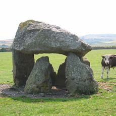
Carreg Samson
1.4 km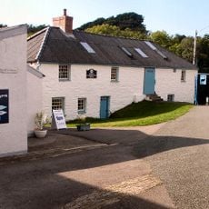
Melin Tregwynt
6.1 km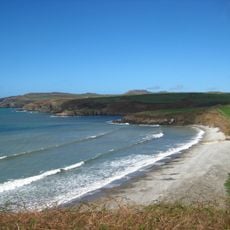
Abermawr
4.8 km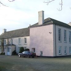
Tregwynt Hoard
5.6 km
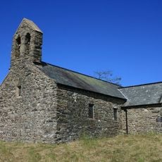
St Teilo's Church
6.1 km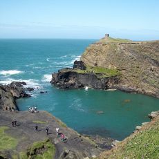
Arfordir Abereiddi
4.4 km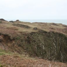
Castell Coch, Penmorfa
4.1 km
Blue Lagoon
4.4 km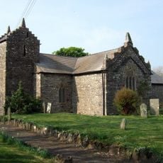
Church Of St Rhian
2.2 km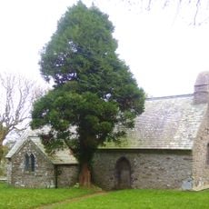
Church Of St.hywel, llanhowell
5.4 km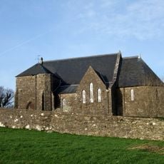
Churchyard wall at Church of the Holy Martyrs
4.1 km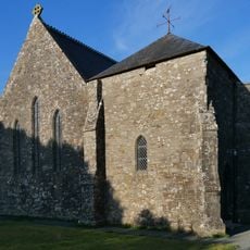
Church of The Holy Martyrs
4.1 km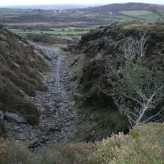
Tyrch quarry
3.1 km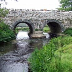
Caerforiog Bridge,Caerforiog
6.3 km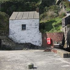
Pilot House,Porthgain
2.5 km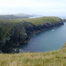
Porth-Egr
3.7 km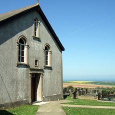
Rehoboth Congregational Chapel
2.2 km
Navigation Beacon On Headland to E.of Entry to Porthgain Harbour
2.4 km
Ynys-fach
1.6 km
Castell Coch
1.3 km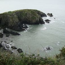
Carreg Golchfa
5.2 km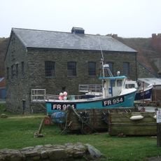
Ty Mawr, Porthgain
2.4 km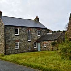
The Manse, including Pigsty attached at north end
7 km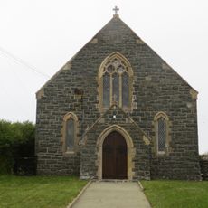
Beria Congregational Chapel
5 km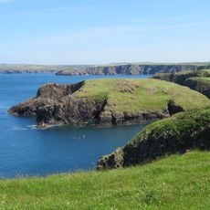
Ynys-y-Castell, Abercastle
1.9 km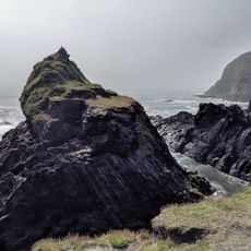
Abereiddy Tower,Abereiddy
4.6 km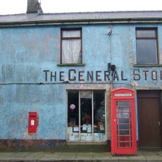
Telephone call-box at the General Stores
4.1 kmVous avez visité ce lieu ? Touchez les étoiles pour le noter et partager votre expérience ou vos photos avec la communauté ! Essayez maintenant ! Vous pouvez annuler à tout moment.
Trouvez des trésors cachés à chaque coin de rue !
Des petits cafés pittoresques aux points de vue planqués, fuyez la foule et dénichez les lieux qui vous ressemblent vraiment. Notre app vous facilite la vie : recherche vocale, filtres malins, itinéraires optimisés et bons plans partagés par des voyageurs du monde entier. Téléchargez vite pour vivre l'aventure en version mobile !

Une approche inédite de la découverte touristique❞
— Le Figaro
Tous les lieux qui valent la peine d'être explorés❞
— France Info
Une excursion sur mesure en quelques clics❞
— 20 Minutes