
Church of St Tudwg, grade II listed building in Merthyr Mawr. Set back from E side of minor road through the hamlet, in a walled churchyard
Emplacement : Merthyr Mawr
Altitude : 62,7 m
Coordonnées GPS : 51.49675,-3.64687
Dernière mise à jour : 5 mars 2025 à 19:09

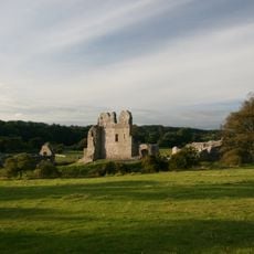
Château d'Ogmore
3 km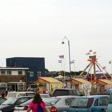
Coney Beach Pleasure Park
3.9 km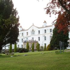
Court Colman Manor
4 km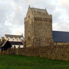
St John the Baptist Church
2.5 km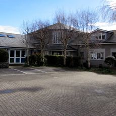
St David's Church
4 km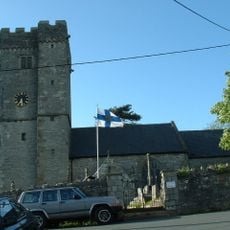
St David's Church
2 km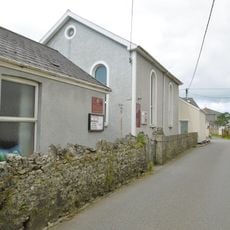
Nottage General Baptist & Unitarian Church
3.9 km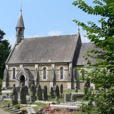
Church Of St Teilo
2.8 km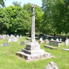
Preaching Cross in churchyard of St Teilo
2.8 km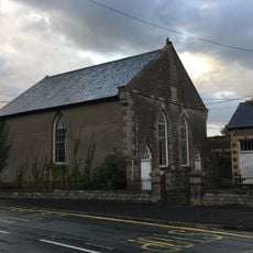
Horeb Welsh Calvinistic Methodist Chapel
2.2 km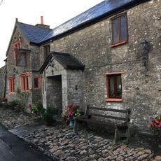
The Laleston Inn
2 km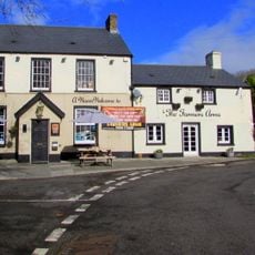
The Farmers' Arms
3.9 km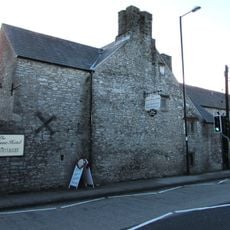
Tŷ Mawr Aka The Great House
2 km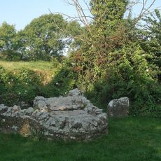
St David's Well aka Ffynnon Dewi
3.7 km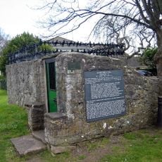
St John's Well aka Sandford's or de Sanford's Well
2.6 km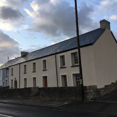
The Oystercatcher Public House
2.1 km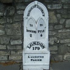
Milepost
1.9 km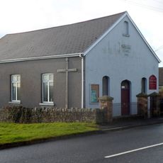
Wesleyan Methodist Chapel
4 km
Gate piers to Tythegston Court
114 m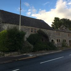
Village Farm House
2.1 km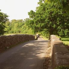
New Bridge
3.5 km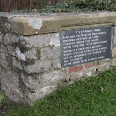
Ffynnon Fawr
3.6 km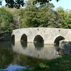
New Inn Bridge
3.3 km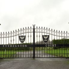
Tythegston Court
141 m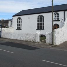
Hope Free Congregational Chapel
2.8 km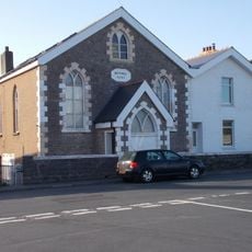
Bethel English Calvinistic Methodist Chapel
4 km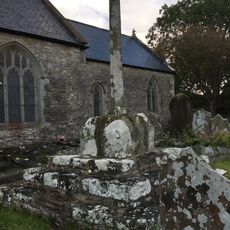
Churchyard Cross in St David's churchyard
2 km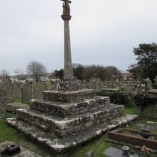
Churchyard Cross
2.5 kmVous avez visité ce lieu ? Touchez les étoiles pour le noter et partager votre expérience ou vos photos avec la communauté ! Essayez maintenant ! Vous pouvez annuler à tout moment.
Trouvez des trésors cachés à chaque coin de rue !
Des petits cafés pittoresques aux points de vue planqués, fuyez la foule et dénichez les lieux qui vous ressemblent vraiment. Notre app vous facilite la vie : recherche vocale, filtres malins, itinéraires optimisés et bons plans partagés par des voyageurs du monde entier. Téléchargez vite pour vivre l'aventure en version mobile !

Une approche inédite de la découverte touristique❞
— Le Figaro
Tous les lieux qui valent la peine d'être explorés❞
— France Info
Une excursion sur mesure en quelques clics❞
— 20 Minutes