
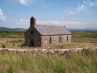
Church of St Michael, grade II listed building in Gwynedd, situated some 600m SE of the B4415 road, approx 2.4 km W SW of the village of Rhydyclafdy
Emplacement : Buan
Altitude : 101 m
Coordonnées GPS : 52.87922,-4.52148
Dernière mise à jour : 3 mars 2025 à 10:53
Penyberth
3 km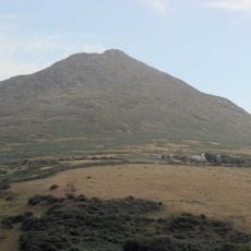
Carn Fadryn
2.7 km
Garn Boduan
5.1 km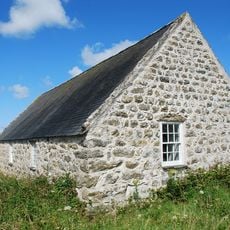
Capel Newydd
3.8 km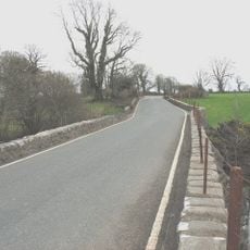
Pont Bodfel
4.5 km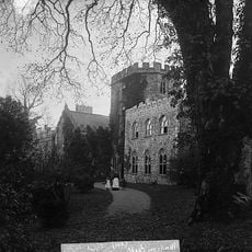
Madryn estate
2.6 km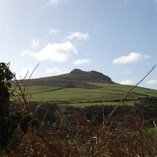
Garn Saethon
827 m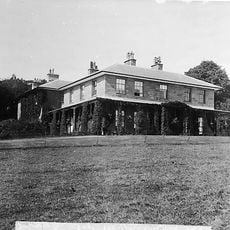
Nanhoron
3.7 km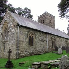
Church Of St Pedrog
3.7 km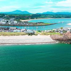
Mynydd Tir y Cwmwd a'r Glannau hyd at Garreg yr Imbill
4 km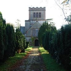
Church of St Buan
4 km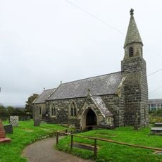
Church of St Beuno
5 km
St Iestyn's Church
3.5 km
Church of St Ceidio
4.3 km
Church of St Cynfil
3.8 km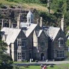
Plas Glyn-y-weddw
3.8 km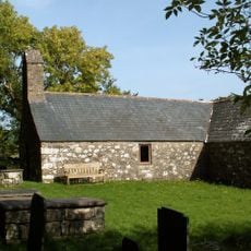
St Tudwen's Church
4 km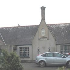
Old School to S of St Beuno's Church against churchyard
5 km
Pont Glan-rhyd
4.9 km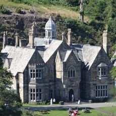
Plas Glyn-y-weddw
3.8 km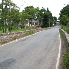
Pont Rhyd-hir
4.4 km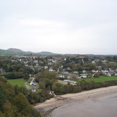
Llanbedrog beach
3.4 km
Pont Rhydyclafdy
2.5 km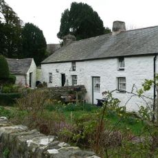
Ty'n Llan
3.5 km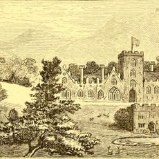
Madryn Castle
2.7 km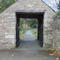
Lychgate to the churchyard of the Church of St Pedrog
3.7 km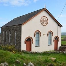
Horeb Welsh Independent Chapel
3.4 km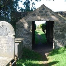
Lychgate and churchyard wall to Church of St Tudwen
4 kmAvis
Vous avez visité ce lieu ? Touchez les étoiles pour le noter et partager votre expérience ou vos photos avec la communauté ! Essayez maintenant ! Vous pouvez annuler à tout moment.
Trouvez des trésors cachés à chaque coin de rue !
Des petits cafés pittoresques aux points de vue planqués, fuyez la foule et dénichez les lieux qui vous ressemblent vraiment. Notre app vous facilite la vie : recherche vocale, filtres malins, itinéraires optimisés et bons plans partagés par des voyageurs du monde entier. Téléchargez vite pour vivre l'aventure en version mobile !

Une approche inédite de la découverte touristique❞
— Le Figaro
Tous les lieux qui valent la peine d'être explorés❞
— France Info
Une excursion sur mesure en quelques clics❞
— 20 Minutes