
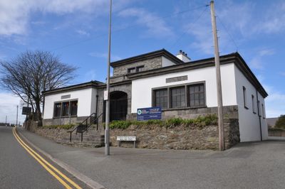
Old National School, Grade II listed building in Anglesey. Located on the N side of the A5025, on the lower side of the hillside leading down into Amlwch
Emplacement : Amlwch Community
Altitude : 34,3 m
Coordonnées GPS : 53.41085,-4.34785
Dernière mise à jour : 8 mars 2025 à 07:35
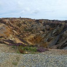
Parys Mountain
2.5 km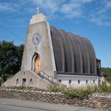
Our Lady Star of the Sea and St Winefride
249 m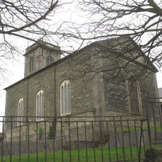
St Eleth's Church
196 m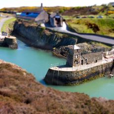
Phare d'Amlwch
1.1 km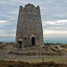
Parys Mountain Windmill
2.5 km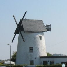
Melin Adda
877 m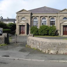
Capel Peniel
1.2 km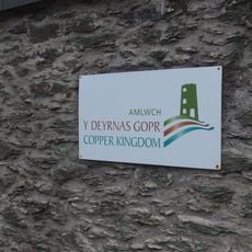
Copper Kingdom
554 m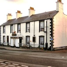
Dinorben Arms Hotel
182 m
Copper Kingdom Centre
1.1 km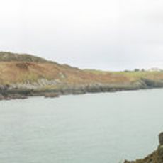
Traeth Dynion
647 m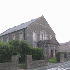
Capel Bethesda
487 m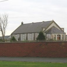
Rehoboth Chapel
2.1 km
St Eilian's Church
2.9 km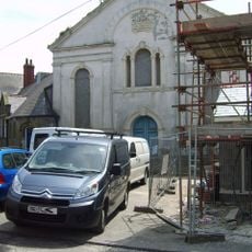
Carmel Independent Chapel and schoolroom
1 km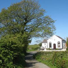
Capel Saron
1.8 km
Melin y Borth
982 m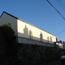
English Methodist Chapel
311 m
Amlwch Library
135 m
Amlwch Port Conservation Area
967 m
Sail Loft
1.2 km
Dry dock
1.2 km
Harbour Walls of old harbour
996 m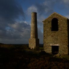
Pearl Engine House
2.4 km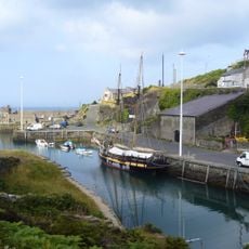
Copper Hoppers
1.1 km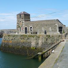
Pier at the entrance of the old harbour
1.1 km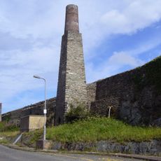
Chimney nearest to the Sail Loft
1.2 km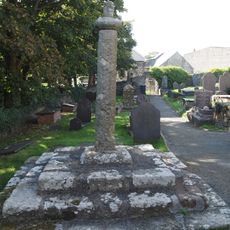
Cross in churchyard of Church of St Eilian
2.9 kmVous avez visité ce lieu ? Touchez les étoiles pour le noter et partager votre expérience ou vos photos avec la communauté ! Essayez maintenant ! Vous pouvez annuler à tout moment.
Trouvez des trésors cachés à chaque coin de rue !
Des petits cafés pittoresques aux points de vue planqués, fuyez la foule et dénichez les lieux qui vous ressemblent vraiment. Notre app vous facilite la vie : recherche vocale, filtres malins, itinéraires optimisés et bons plans partagés par des voyageurs du monde entier. Téléchargez vite pour vivre l'aventure en version mobile !

Une approche inédite de la découverte touristique❞
— Le Figaro
Tous les lieux qui valent la peine d'être explorés❞
— France Info
Une excursion sur mesure en quelques clics❞
— 20 Minutes