
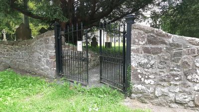
Churchyard Wall and Gates, Church of St. Aelhaiarn
Churchyard Wall and Gates, Church of St. Aelhaiarn, Grade II listed building in Guilsfield
Emplacement : Guilsfield
Altitude : 86 m
Coordonnées GPS : 52.69660,-3.15718
Dernière mise à jour : 7 mars 2025 à 05:23
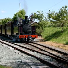
Welshpool and Llanfair Light Railway
4.1 km
Christ Church
4.1 km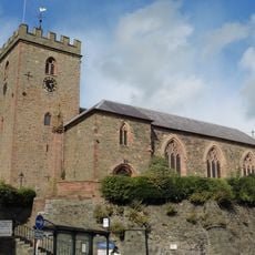
St Mary's Church
4 km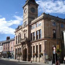
Welshpool Town Hall
4 km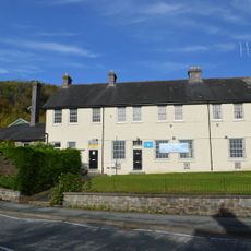
Brook Street drill hall, Welshpool
3.9 km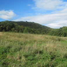
Gaer Fawr, Guilsfield
1.5 km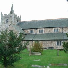
Church Of St. Aelhaiarn
45 m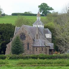
Church of Saint John Evangelist
3.9 km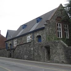
Church House
4 km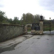
Gate Piers & Gates to Powis Castle Park
4.1 km
Welshpool Library
3.9 km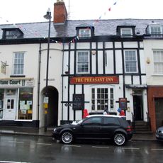
The Pheasant PH
4 km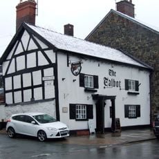
Talbot Inn
4 km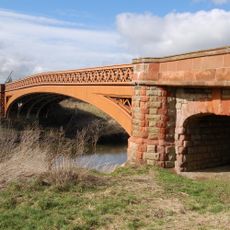
Buttington Bridge, A 458 , Buttington
3.9 km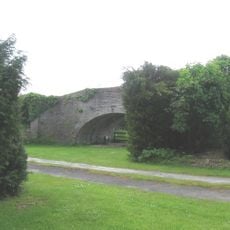
Canal Bridge On Roadway to Bridge Farm, B 4392 , Varchoel
2.3 km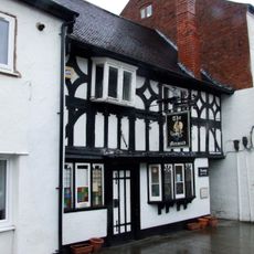
Mermaid Inn
4 km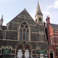
Welshpool Methodist Church
4 km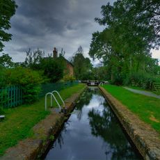
Crowther Hall Lock
3.9 km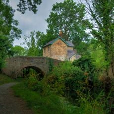
Bridge 110 over the Montgomeryshire Canal
3.9 km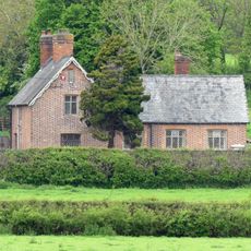
School House
4 km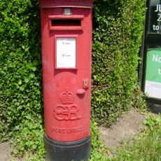
Pillar Box on corner with Erw Wen
3.9 km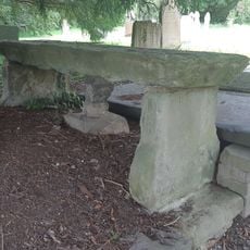
Jones Monument, Close to The South Gates of The Churchyard (Formerly Listed as Table Tomb to Richard
44 m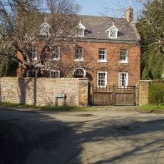
The Red House, Oak Lane (N Side) Guilsfield
67 m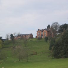
Tynllwyn Farmhouse
3 km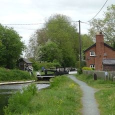
Top Lock
3.7 km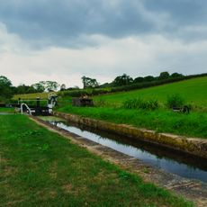
Cabin Lock
4 km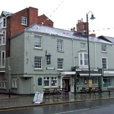
Pinewood Tavern
4.1 km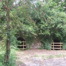
Buttington Limekilns
3.5 kmVous avez visité ce lieu ? Touchez les étoiles pour le noter et partager votre expérience ou vos photos avec la communauté ! Essayez maintenant ! Vous pouvez annuler à tout moment.
Trouvez des trésors cachés à chaque coin de rue !
Des petits cafés pittoresques aux points de vue planqués, fuyez la foule et dénichez les lieux qui vous ressemblent vraiment. Notre app vous facilite la vie : recherche vocale, filtres malins, itinéraires optimisés et bons plans partagés par des voyageurs du monde entier. Téléchargez vite pour vivre l'aventure en version mobile !

Une approche inédite de la découverte touristique❞
— Le Figaro
Tous les lieux qui valent la peine d'être explorés❞
— France Info
Une excursion sur mesure en quelques clics❞
— 20 Minutes