
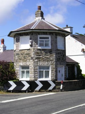
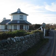
Caergeiliog Tollhouse, Grade II listed building in Anglesey. Located on the S side of the A5(T) Holyhead Road, at the junction with the road leading to Llanfair-yn-neubwll, at the NW end of the village of Caergeiliog
Emplacement : Llanfair-yn-Neubwll
Altitude : 13 m
Coordonnées GPS : 53.27706,-4.54389
Dernière mise à jour : 3 mars 2025 à 05:28
Penrhos Country Park
4.2 km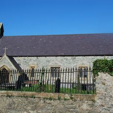
St Edern's Church
3.4 km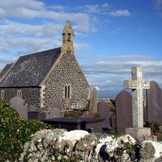
St Gwenfaen's Church
4.7 km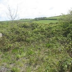
St Enghenedl's Church, Llanynghenedl
2.7 km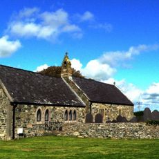
St Mihangel's Church
2 km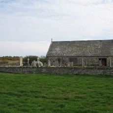
St Mary's Church, Llanfair-yn-Neubwll
1.1 km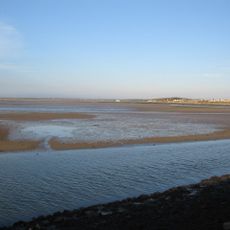
Beddmanarch-Cymyran SSSI
3 km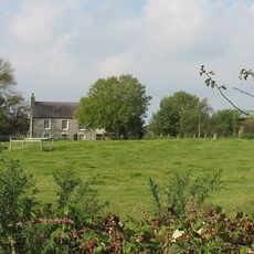
St Llibio's Church, Llanllibio
4 km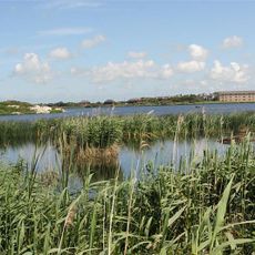
Valley Wetlands
2.1 km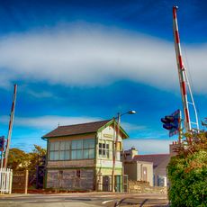
Valley Station Signal Box, Anglesey
1.4 km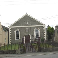
Seilo Welsh Baptist Church
202 m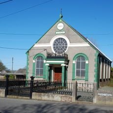
Saron Welsh Independent Chapel
3.4 km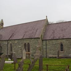
St Machraeth's Church, Llanfachraeth
4.6 km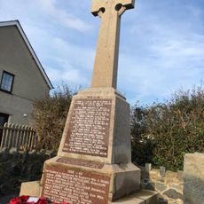
Bryngwran War Memorial
4.6 km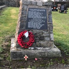
Valley War Memorial
918 m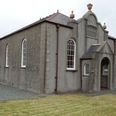
Capel Abarim
4.3 km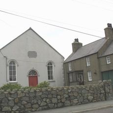
Caergeiliog Chapel
697 m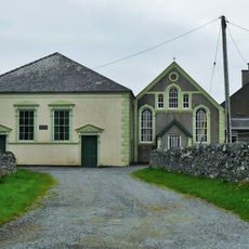
Capel Pont yr Arw with attached school room
3.8 km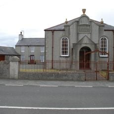
Chapel house and outbuilding, Capel Abarim
4.2 km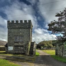
Baillifs Tower and with boundary wall, gates and attached outbuildings at Penrhos Home Farm
4.5 km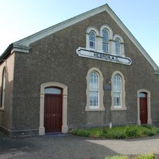
Hebron Chapel
4.3 km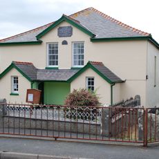
Salem Welsh Independent Chapel
4.6 km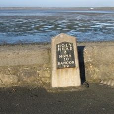
Milestone
3.3 km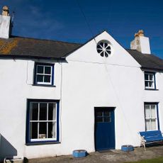
Bodlasan Fawr
4.3 km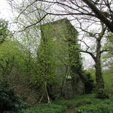
Watertower
4 km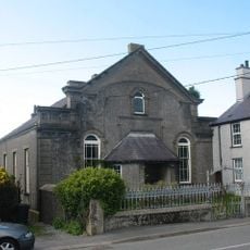
Gilgal Chapel
3.2 km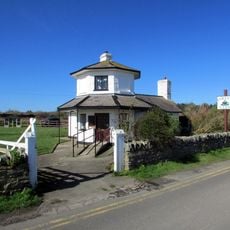
Stanley Tollhouse
3.4 km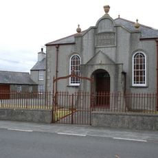
Wall, railings and gates, Capel Abarim
4.3 kmVous avez visité ce lieu ? Touchez les étoiles pour le noter et partager votre expérience ou vos photos avec la communauté ! Essayez maintenant ! Vous pouvez annuler à tout moment.
Trouvez des trésors cachés à chaque coin de rue !
Des petits cafés pittoresques aux points de vue planqués, fuyez la foule et dénichez les lieux qui vous ressemblent vraiment. Notre app vous facilite la vie : recherche vocale, filtres malins, itinéraires optimisés et bons plans partagés par des voyageurs du monde entier. Téléchargez vite pour vivre l'aventure en version mobile !

Une approche inédite de la découverte touristique❞
— Le Figaro
Tous les lieux qui valent la peine d'être explorés❞
— France Info
Une excursion sur mesure en quelques clics❞
— 20 Minutes