
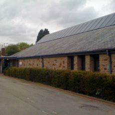
Coed-y-fon Farmhouse, including attached Granary and Cartshed
Coed-y-fon Farmhouse, including attached Granary and Cartshed, Grade II listed building in Llanhennock. About 500m west of Tredunock on the south side of the minor road that leads directly towards the Caerleon-Usk road
Emplacement : Llanhennock
Altitude : 73,8 m
Coordonnées GPS : 51.64747,-2.91337
Dernière mise à jour : 31 mars 2025 à 06:20

Caerleon Roman Fortress and Baths
5 km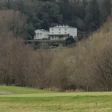
Glen Usk
2.1 km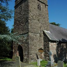
St Cybi's Church
2.1 km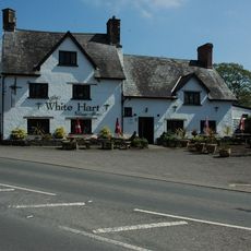
White Hart
2 km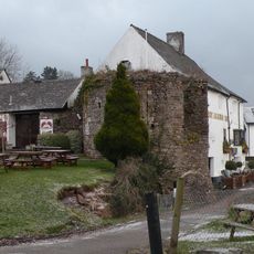
Château Caerleon
4.9 km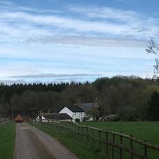
Ton Farmhouse
1.2 km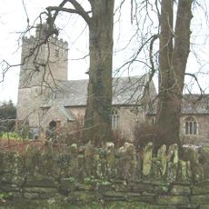
Church of St Peter, St Paul and St John
3.1 km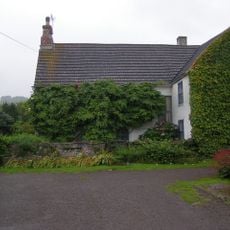
The Cwm
3.6 km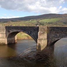
New Bridge
1.6 km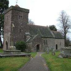
St Andrew's Church
1.1 km
New House
2.2 km
Berllan-deg
1.2 km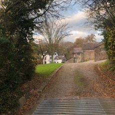
Nantybanw
4.6 km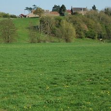
Pentwyn
5 km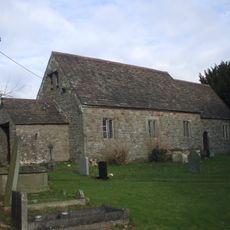
Church of St Tegfedd
3.2 km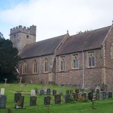
Church Of All Saints
5 km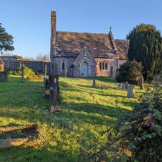
St David's Church
3.9 km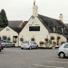
Ponthir House Inn
4.4 km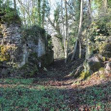
Llangibby Castle
2.7 km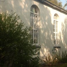
Ponthir Chapel
4.7 km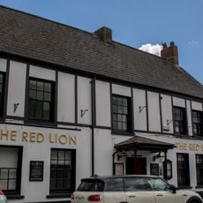
The Red Lion PH
4.9 km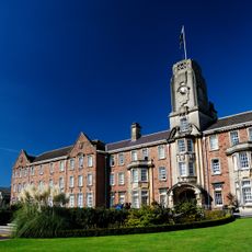
Former Caerleon Teacher Training College Building
4.8 km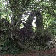
Cas Troggy Castle
4.6 km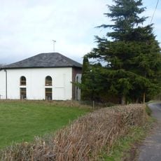
Bethel
1.6 km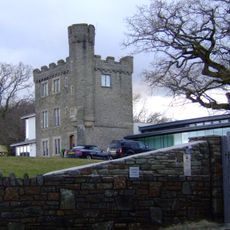
Kemeys Folly
2.9 km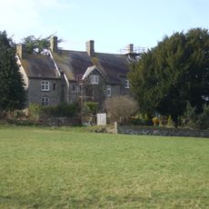
Great House
1.2 km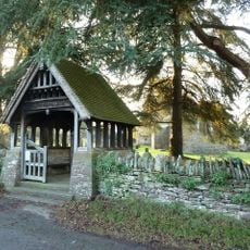
Lychgate to parish church
3.2 km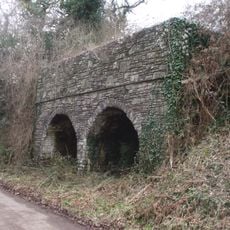
Double Limekiln
2.1 kmAvis
Vous avez visité ce lieu ? Touchez les étoiles pour le noter et partager votre expérience ou vos photos avec la communauté ! Essayez maintenant ! Vous pouvez annuler à tout moment.
Trouvez des trésors cachés à chaque coin de rue !
Des petits cafés pittoresques aux points de vue planqués, fuyez la foule et dénichez les lieux qui vous ressemblent vraiment. Notre app vous facilite la vie : recherche vocale, filtres malins, itinéraires optimisés et bons plans partagés par des voyageurs du monde entier. Téléchargez vite pour vivre l'aventure en version mobile !

Une approche inédite de la découverte touristique❞
— Le Figaro
Tous les lieux qui valent la peine d'être explorés❞
— France Info
Une excursion sur mesure en quelques clics❞
— 20 Minutes